Rethinking Design, Collaboration and Resilience
The accelerating climate crisis necessitates a fundamental rethinking of how we design and manage our landscapes, cities, and technologies. This thesis, “Landscape as a Climate Catalyst: Rethinking Design, Collaboration, and Resilience,” explores the integration of dynamic, climate-responsive systems to address the interconnected challenges of carbon sequestration, ecological regeneration, and socio-economic resilience.
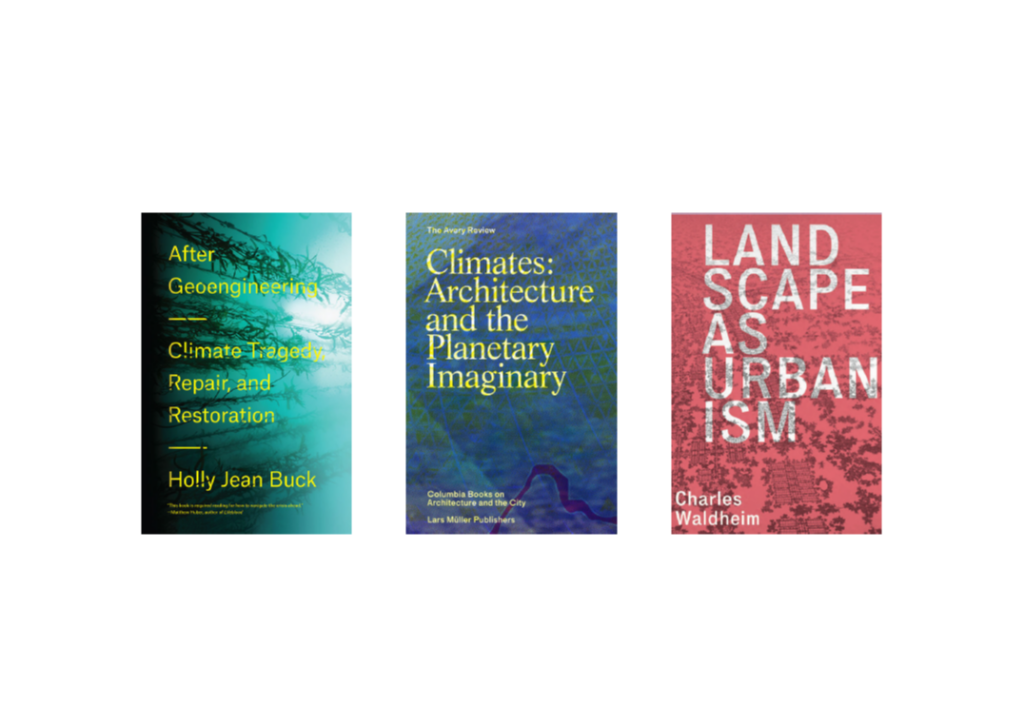
This literature review, forming the first of three parts of my thesis, draws on insights from the three books above, integrating their theories and case studies to explore collaborative, systemic approaches to addressing the climate crisis.
The following snippets highlight some of the core principles that form the foundation of my approach to addressing the thesis topic. These principles guide the way I analyze, structure, and propose solutions within my research based on the books i have read.
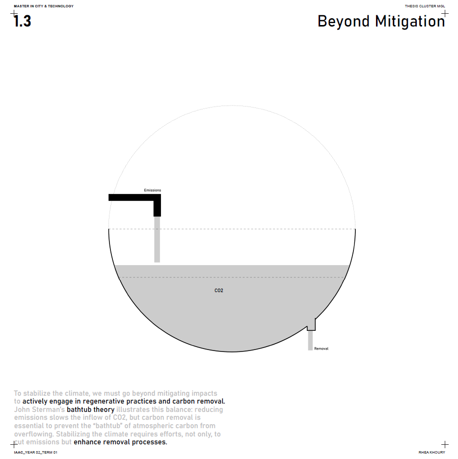
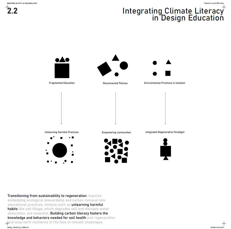
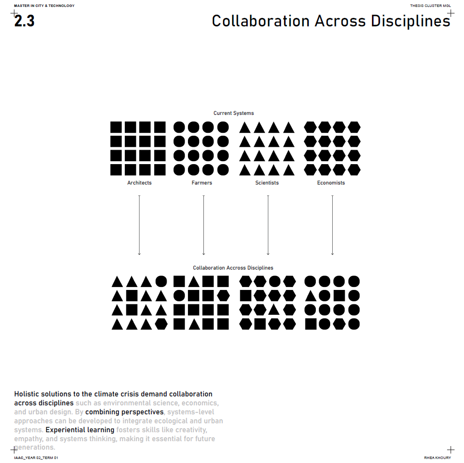
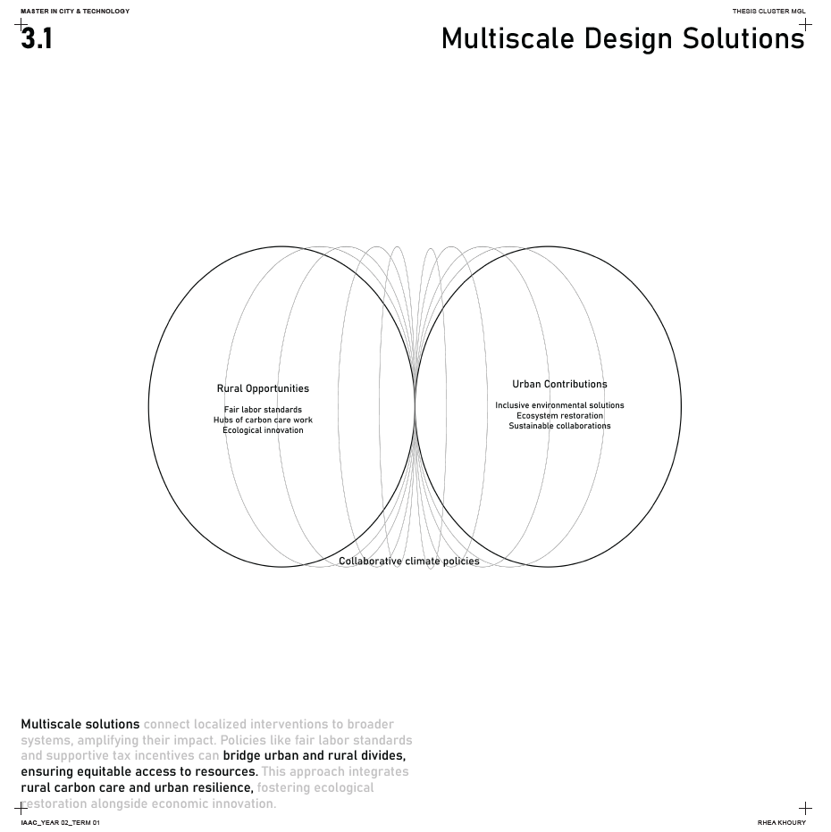
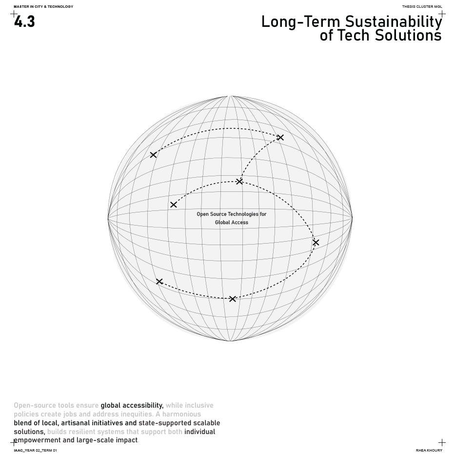
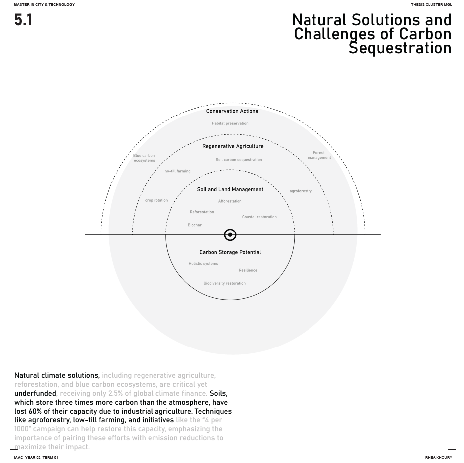
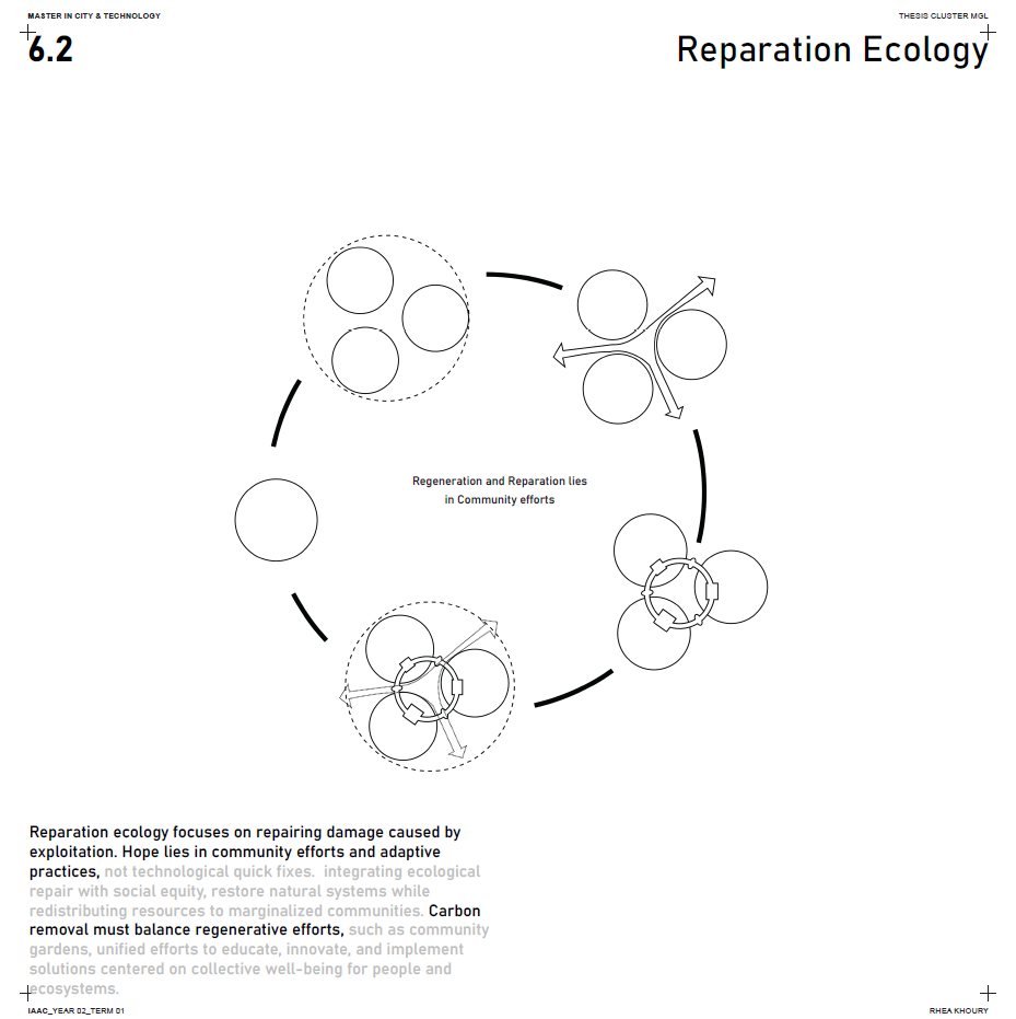
It was essential for me to thoroughly research and study existing work on the concepts I’ve discussed, ensuring that my approach brings fresh perspectives and meaningful contributions to the ongoing discourse.
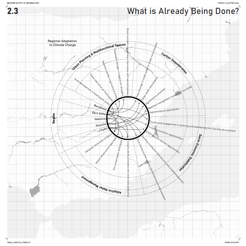
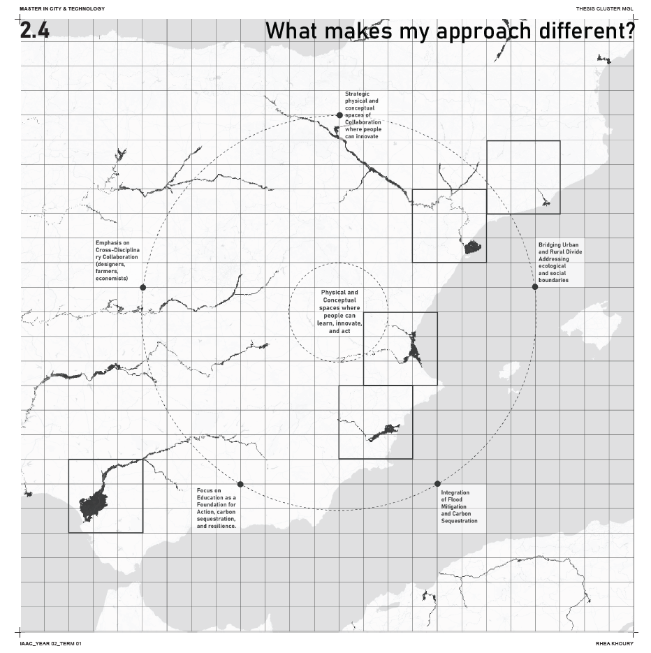
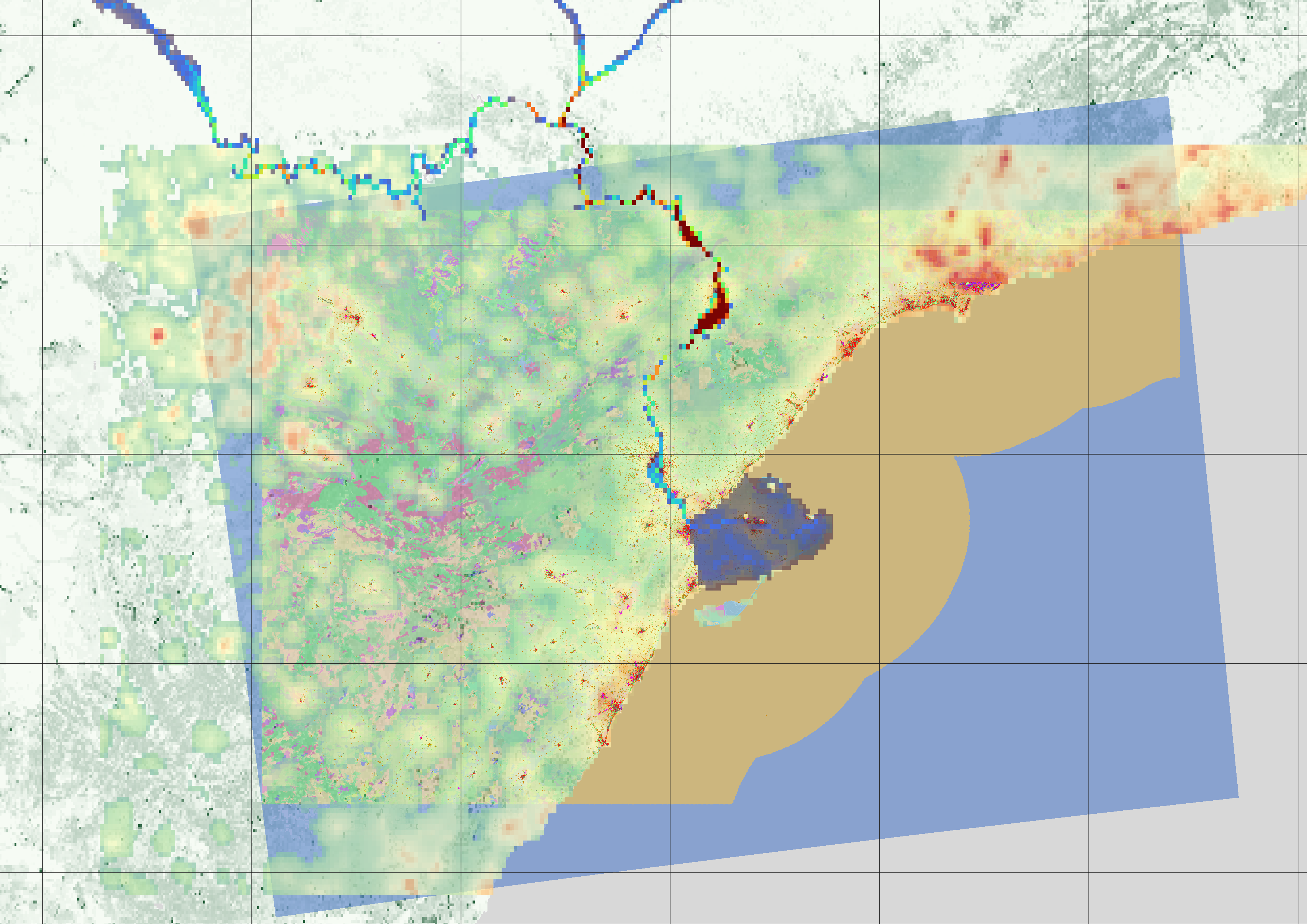
The Ebro Delta serves as a compelling case study for the challenges and opportunities in climate-responsive design.
It faces critical threats, including:
- Rising sea levels,
- Saltwater intrusion, and
- Biodiversity loss.
By combining natural solutions like wetland restoration, technological tools like carbon sequestration systems, and community collaboration, the Delta can become a model for ecological resilience, flood management, and carbon storage. This case highlights the importance of integrated solutions that bridge political frameworks and technical strategies.
The Methodology Of mapping that I will be using next term will consist of Multidimensional Mapping.
Deep mapping is a holistic and multidimensional approach to understanding and representing a place or system. Unlike traditional maps, which focus solely on geographic or physical features, deep mapping integrates layers of ecological, social, historical, and cultural data to provide a comprehensive view of a location.
It emphasizes connections between people, landscapes, and time, often incorporating narratives, qualitative data, and sensory elements. This method is particularly valuable for exploring complex systems, revealing relationships, and fostering deeper insights that inform decision-making and design processes.
