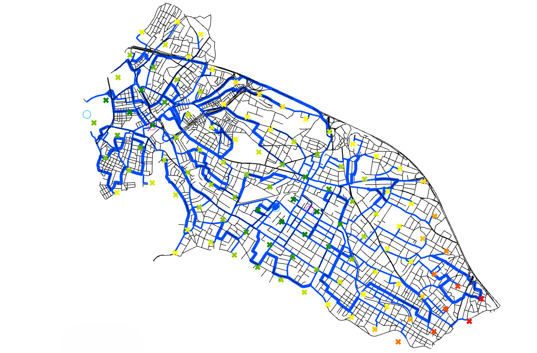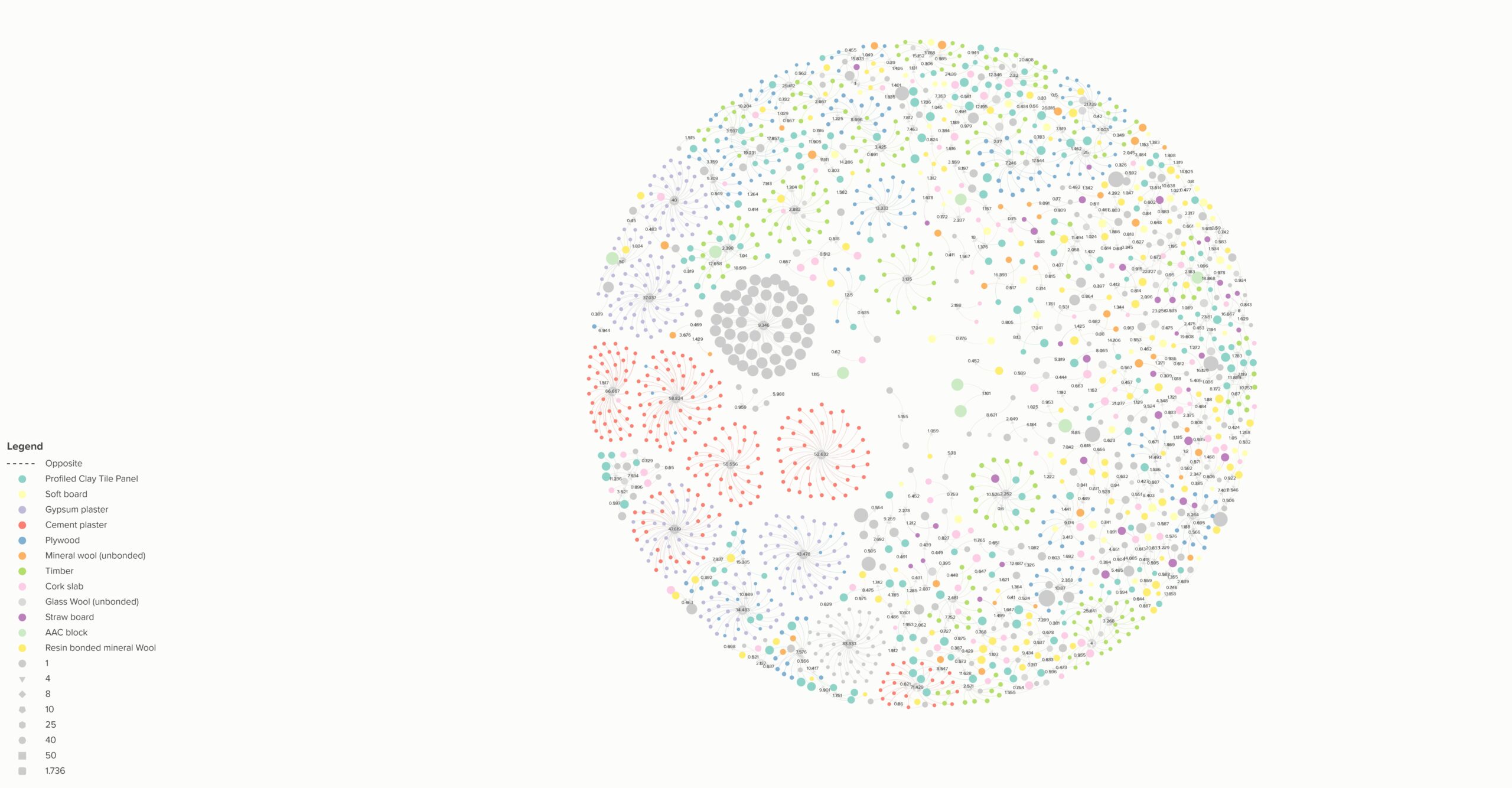
This course explores the integration of data visualization in urban environments, with a strong focus on generating 2D maps that condense multiple layers of information. The course will tackle vectorial data, used to represent precise boundaries of urban and natural elements, raster data, capable of embedding also nonspatial information as environmental aspects, and also focus on data provided by phone apps. Students will learn how to process raw and public data (e.g., GIS, demographic data) using Python and visualize this data using Rhino and Grasshopper.
At the course completion the students will be able to tackle autonomously a selected topic, gather the available data, process and visualize them in a pipeline that focuses on the integration of Python capabilities of data management and grasshopper possibilities of data visualization and editing of geometrical entities. Students will learn a series of approaches and routines in order to extract information starting from a raw data set.
Learning Objectives
At course completion the student will:
- Understand the Role of Data in Urban Visualization
- Use of Python for Data Processing
- Develop proficiency in Rhino and Grasshopper for data visualisation
- Use Open-Source Data for Urban and Environmental Visualization
- Create compelling Urban Visualisations (2D and 3D) Using Data