Urban Data
INTRODUCTION TO SPATIAL DATA
As cities and the world become increasingly data-driven and the volume of available information continues to grow, it becomes essential for designers and urbanists to engage with large and diverse forms of data in order to respond to contemporary urban challenges through informed spatial decision-making and design.
With this in mind, Urban Data introduces students to the practice of exploring and analyzing urban data, focusing on how to gather, examine, compare, and communicate geospatial information. The course provides a practical entry point to geospatial analysis using Python, the most widely adopted scripting language in data science, thanks to its accessible syntax and extensive ecosystem of libraries.
Through guided classes and hands-on exercises, students gain experience in handling spatial and tabular data, performing basic spatial analysis, and visualizing results through interactive formats. By the end of the course, they will have acquired a foundational computational toolkit to investigate urban questions through data and to translate their findings into clear visual and spatial outputs that support urban design and planning projects.
Learning Objectives
At course completion the student will:
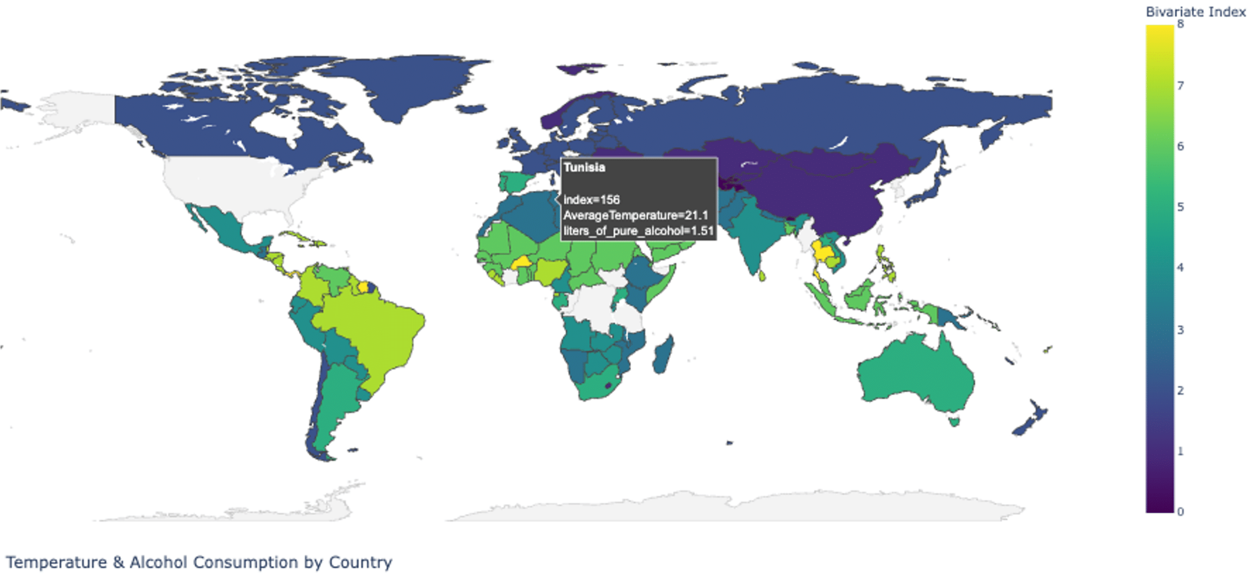
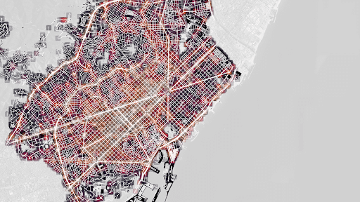
- Gather, explore, analyze, and visualize geospatial and tabular data.
- Combine multiple datasets to generate insights and identify relationships between data from different sources.
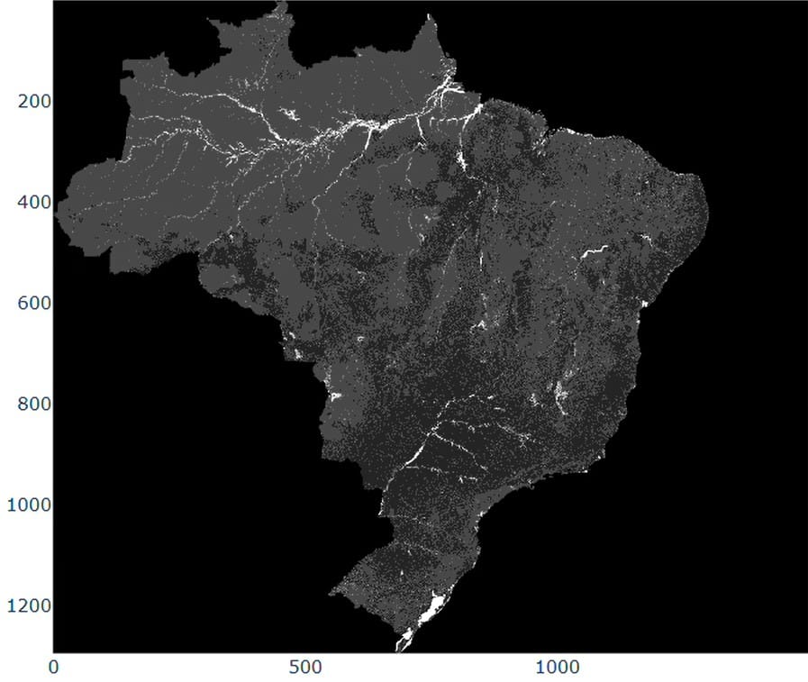
- Differentiate between vector and raster data, as well as how to manage and integrate the two.
- Develop the skills to build basic interactive dashboards for geospatial data visualization.
- Work proficiently in Python using specialized modules such as Pandas, GeoPandas, OSMnx, and the Google Earth Engine API.

 Urban Data introduces students to the practice of exploring and analyzing urban data, focusing on how to gather, examine, compare, and communicate geospatial information. The course provides a practical entry point to geospatial analysis using Python, the most widely adopted scripting language in data science, thanks to its accessible syntax and extensive ecosystem of libraries.