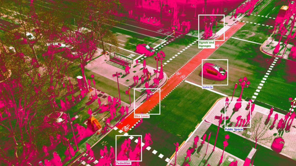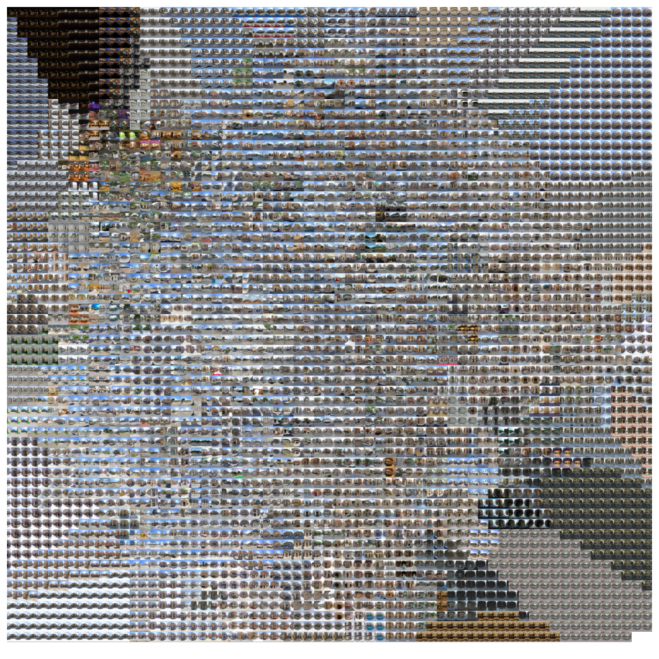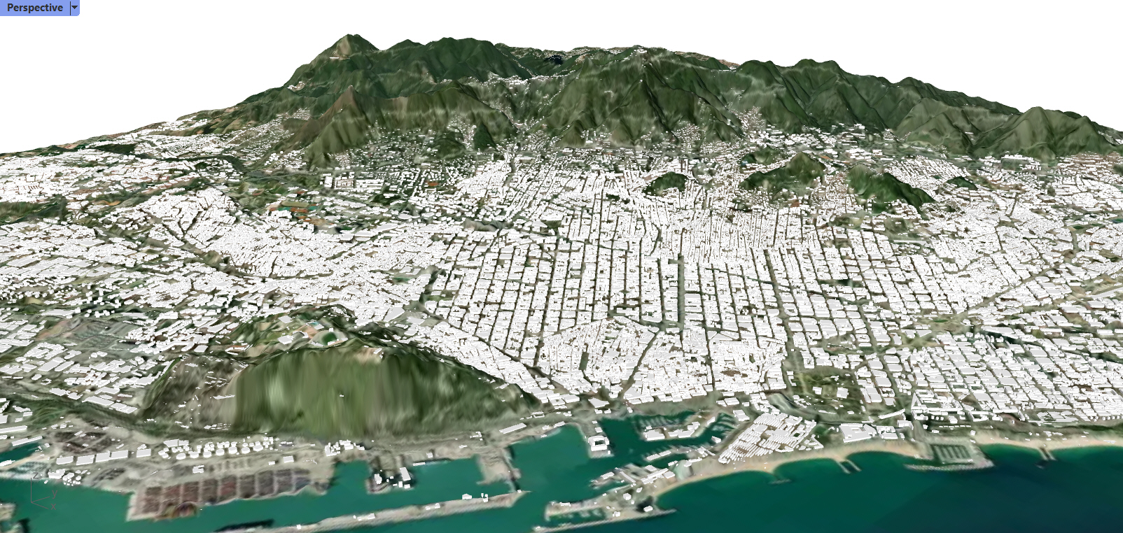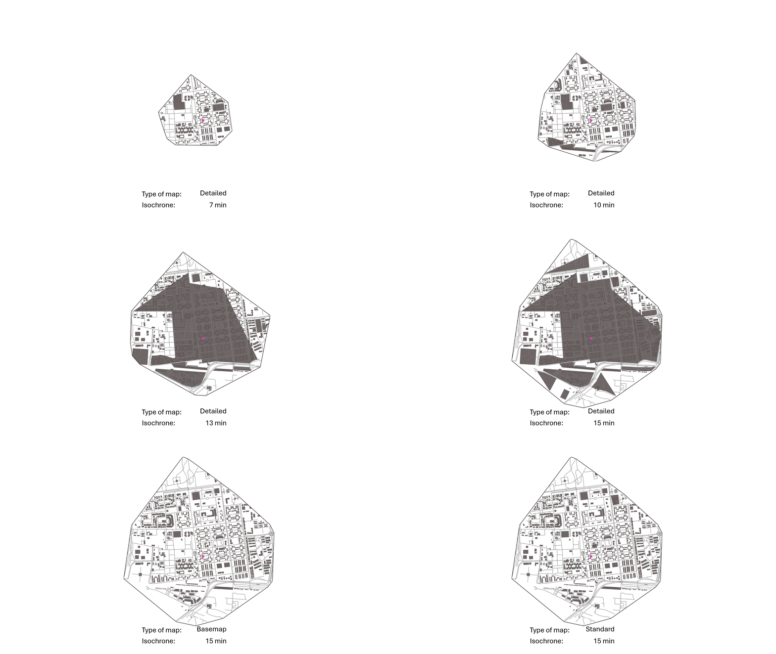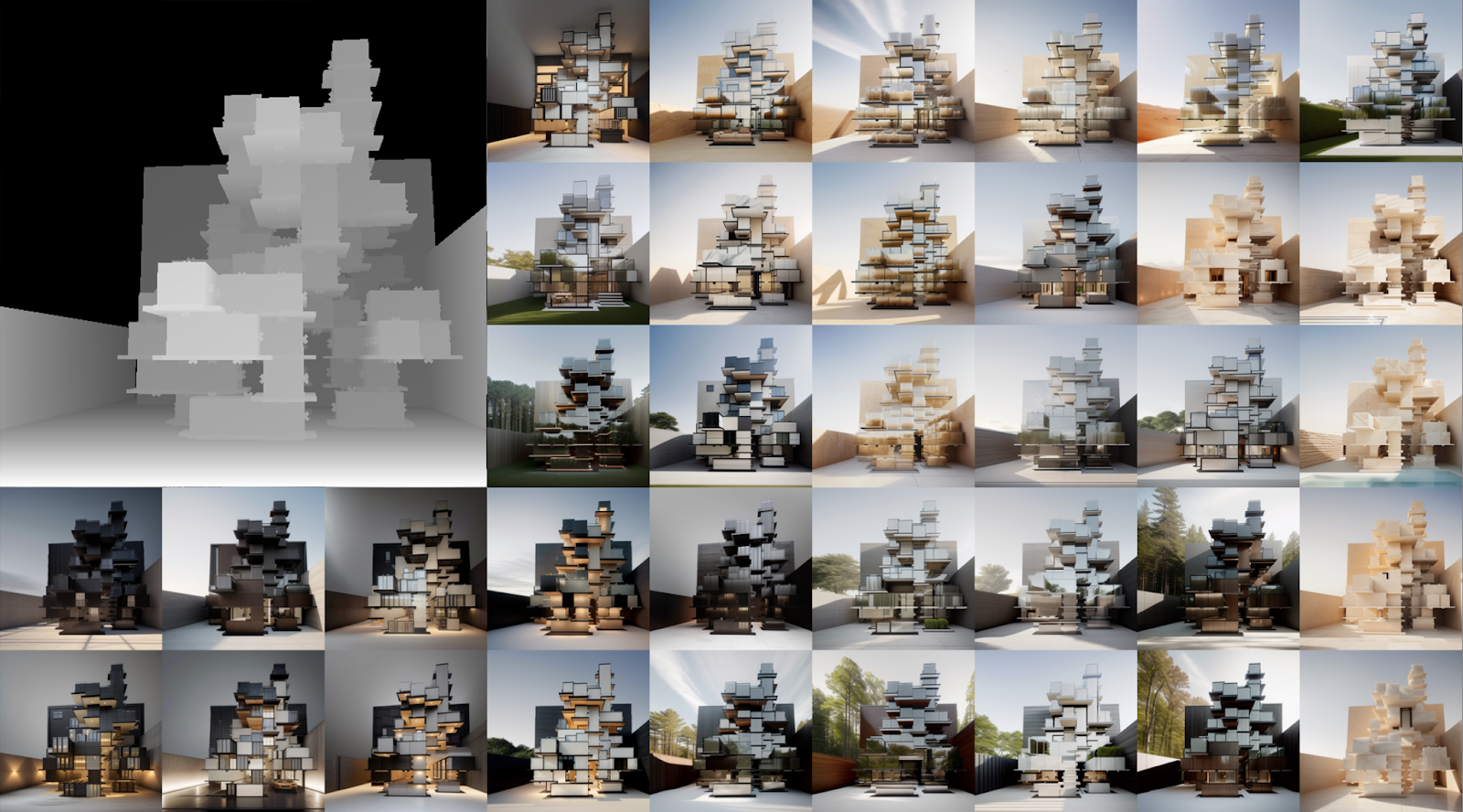
photo credits: I.Neri and E.Bettucchi., IAAC 2024
Description
The aim of the Computational Urban Design course is to empower students with the capacity to fully understand and exploit computational thinking in order to design complex algorithmic pipelines from raw data to design.
It exploits Grasshopper 3D as the main computational tool due to its intuitiveness, and its large use in the AEC and the planning field. Despite no prior knowledge of programming is required, throughout the course students will master advanced computational logics that will enhance their design workflows.
In the third term of the Computational Urban Design course, we delve into the urgent and inspiring debate on the role of Artificial Intelligence in the field of architecture. Building upon the foundational skills acquired in the previous seminars, the course aims to explore the implications and potentialities of state-of-the-art (SOTA) online ML models within the context of computational design. Technically, students will be guided to create tailored pipelines, integrating ML models within Rhinoceros 3D through Grasshopper and CPython scripts, to implement AI algorithms in three-dimensional environments. The primary objective is to increase awareness of the breadth of ML products available and stimulate curiosity about unconventional applications for architects and planners, diverging from mainstream methodologies.
Through a blend of theoretical insights and hands-on exercises, participants will actively engage in crafting AI-assisted architectural outputs, fostering a creative and exploratory design approach. Overall, the course will emphasise on the application aspect of ML models in 3D modelling, rendering, and visualisation, setting the stage for a separate course dedicated to the underlying principles of machine learning. By the end of this term, students will not only have acquired the technical skills to integrate AI into their design processes but also positioned themselves at the forefront of shaping future directions in AI-assisted architecture. Finally, the course concludes a one-year long exploration to empower students to leverage cutting-edge technologies in redefining the boundaries of architectural design and planning.
Learning Objectives
At course completion, the student will:
– fluently use Rhinoceros and Grasshopper 3D,
– implements design solutions taking advantages of computational tools
– manage and visualise complex geometries and data
– read and export data in various format
– integrate Grasshopper 3D with others software


