Emerging Economies: Rethinking alternative economic models in a capitalized world

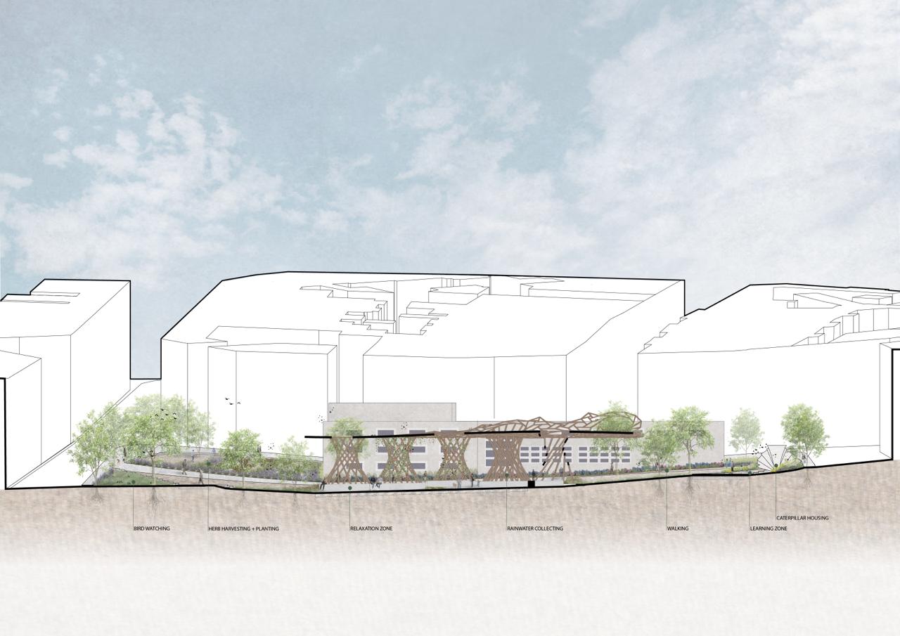
The course on Emerging Economies explores transformative approaches to fostering sustainability, equity, and resilience in economic systems, focusing on circular, distributed, regenerative, and inclusive principles. Inspired by different economical frameworks and interdisciplinary design philosophies, the course examines how innovative thinking can create a thriving balance between ecological integrity and human prosperity. Towards Regenerative and Interconnected … Read more