Collectively Forward: Regenerative and Inclusive Urban Futures
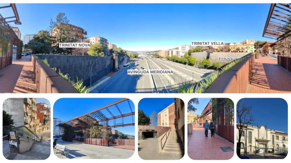
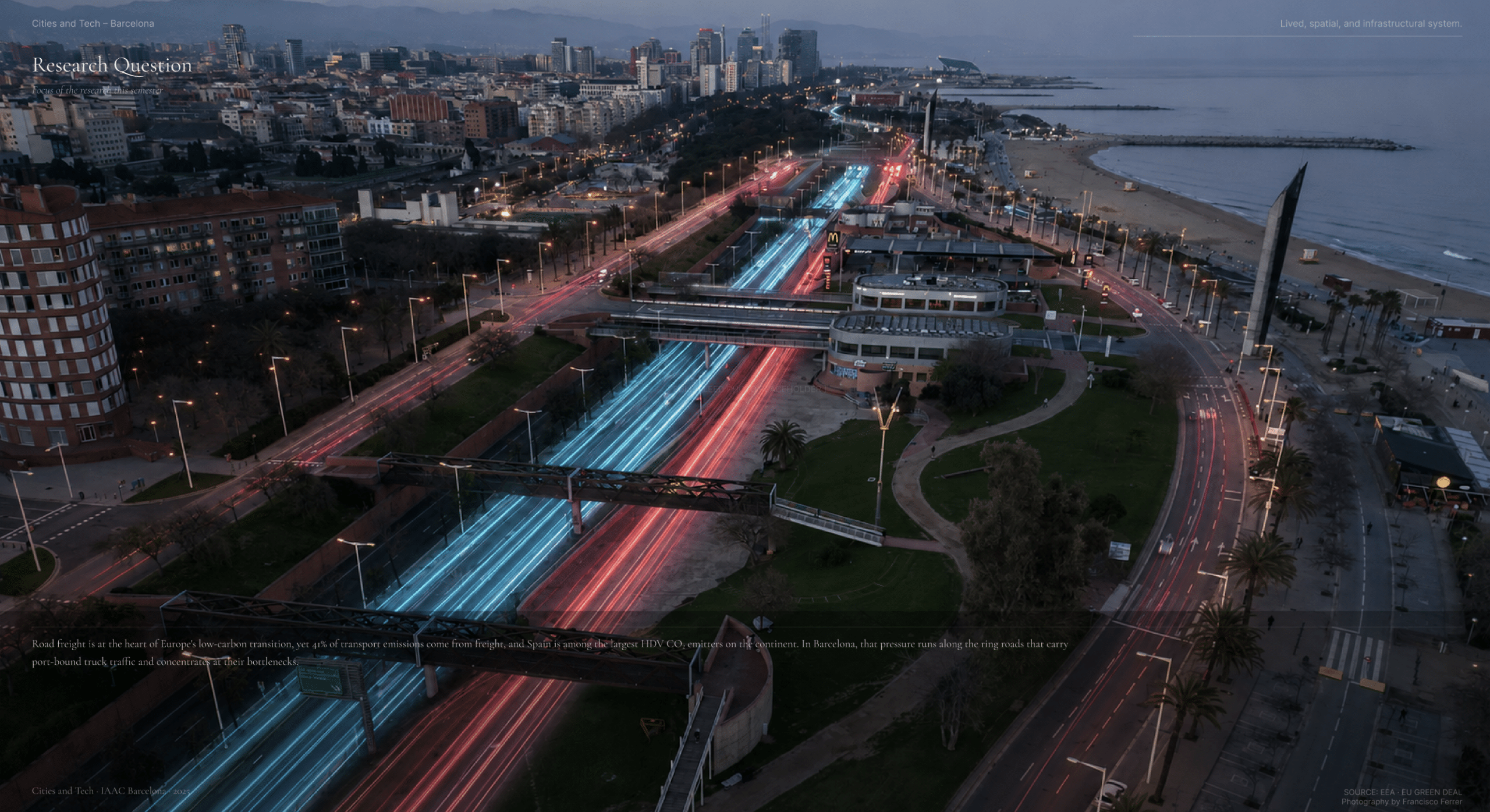
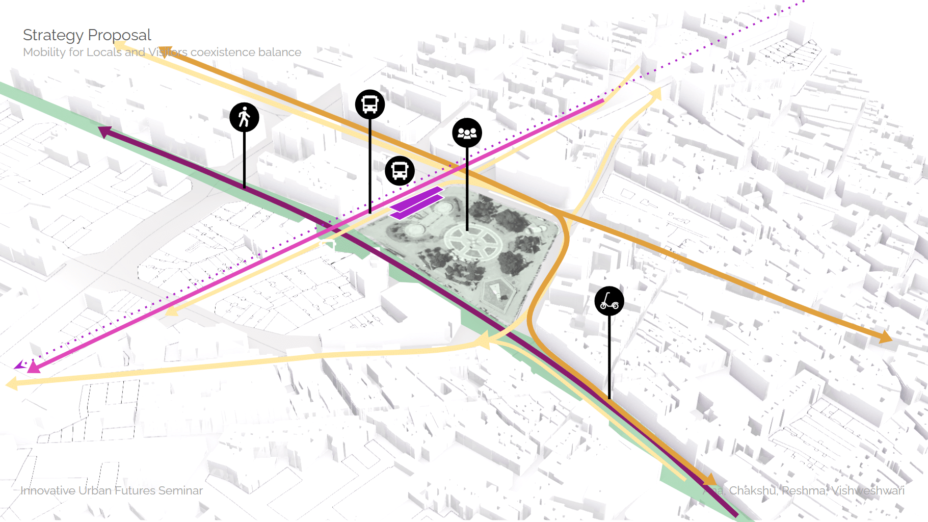
Infrastructure doesn’t just move people. It shapes who they are, where they go, and what kinds of lives are possible. At the northern edge of Barcelona — at the junction of Nou Barris, Sant Andreu, and Santa Coloma de Gramenet — Avinguda Meridiana does all three. It connects the city to its northern territories efficiently. … Read more