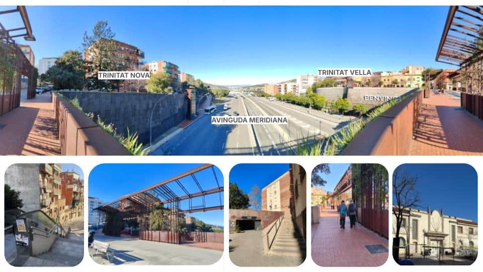
Curbside Intensification
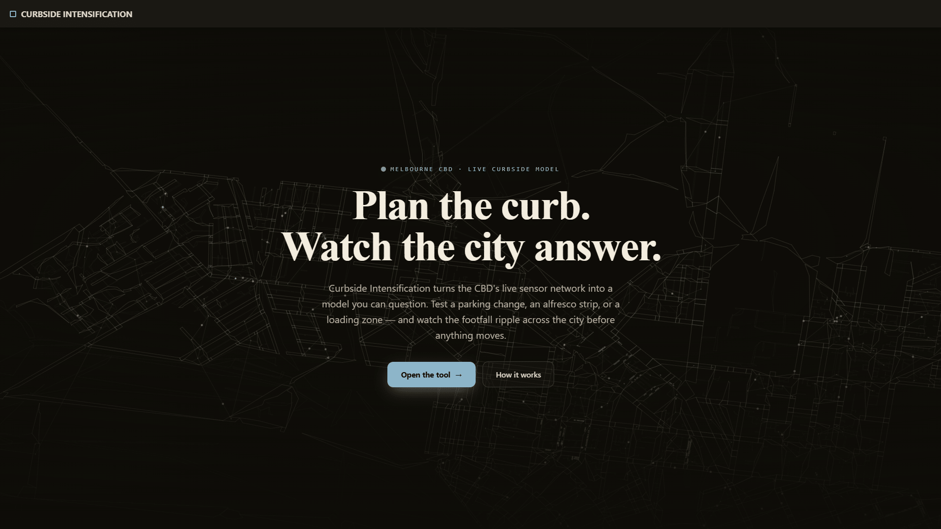
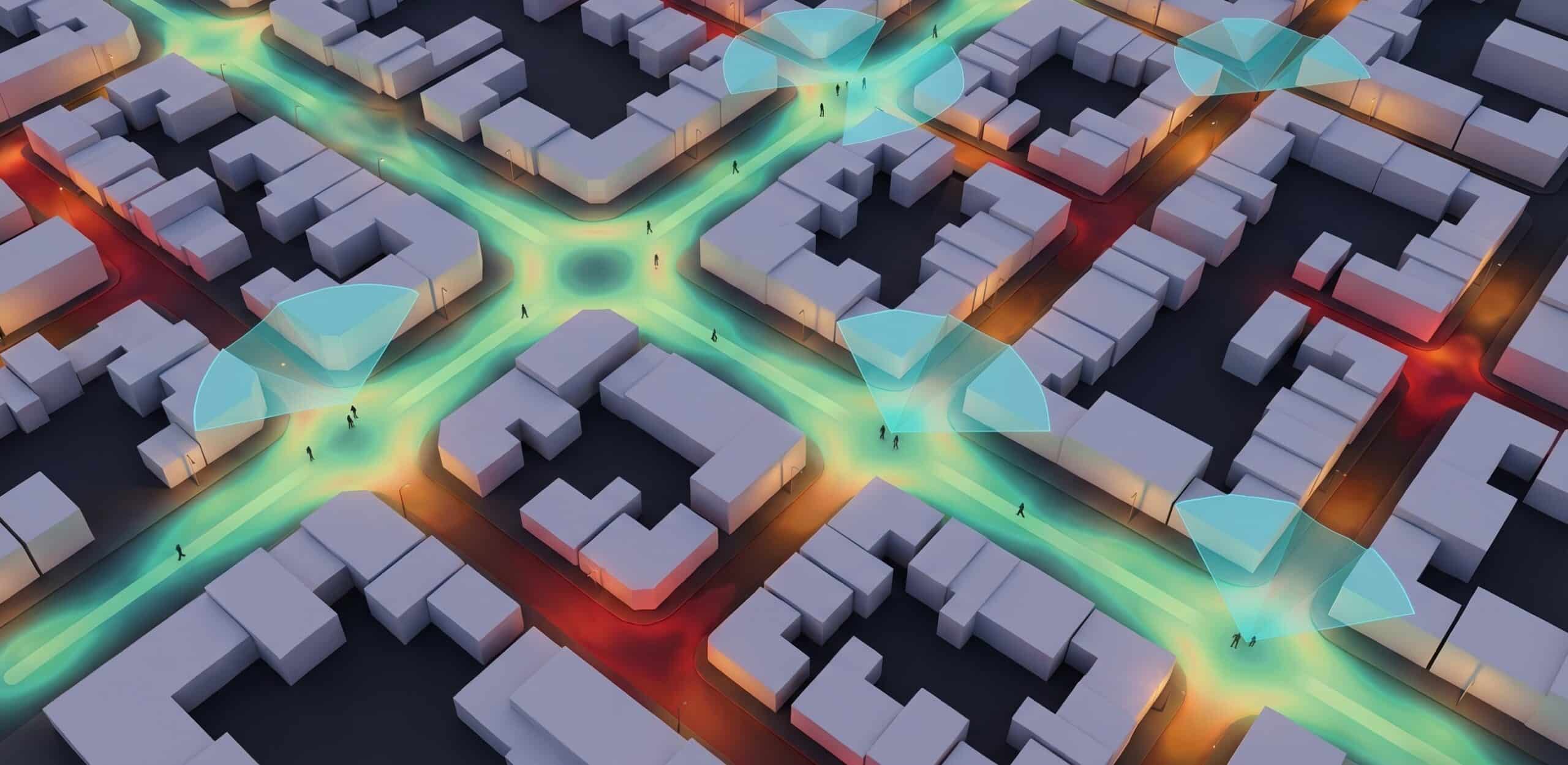
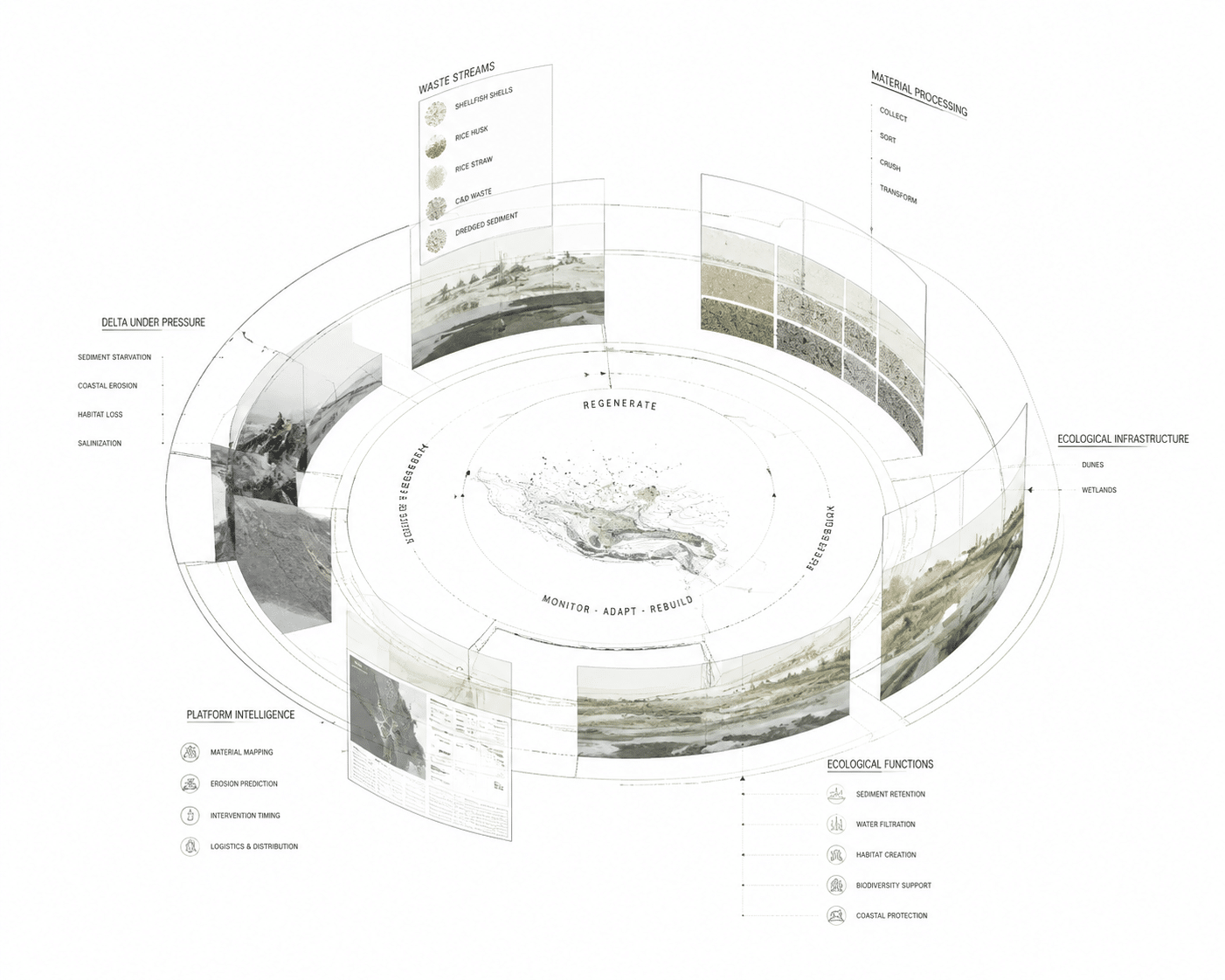
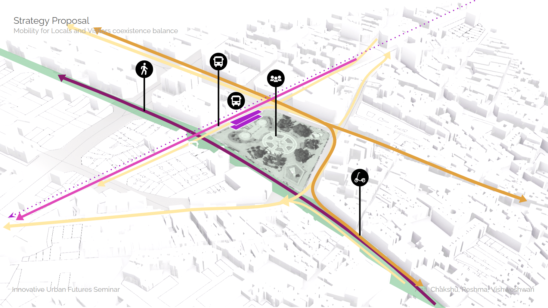
Ertuğrul Akdemir MAAI · Master in AI for Architecture and Business Innovation 25/26 Advisor: Shajay Bhooshan An AI tool that reads how streets behave through the day and tests where the curb could change use, then shows how that change spreads across the city before anything is built. Streets are designed once and rarely questioned. The … Read more