Urban Sprawl: Embodied, Digital Cartographies – Reading Studio, MUPD01 2024/25
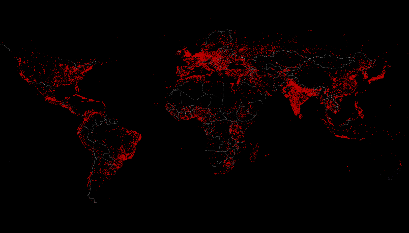
We are living in an urban era. The year 2006 marked a historic turning point when city dwellers first outnumbered rural populations—a transformation that shows no signs of reversing (United Nations, 2018). This shift becomes even more pronounced depending on how we define “urban,” with some estimates placing the urban population at approximately 85% of the global total (Pesaresi et al, 2016), though this figure has sparked debate (Angel et al, 2018). The ongoing disagreement over what constitutes a city reflects a longstanding challenge that has occupied researchers and policymakers across social and architectural fields for decades.
This definitional uncertainty creates a paradox: while cities are recognized as critical battlegrounds for addressing climate change, the evolving nature of urbanization challenges our ability to understand how cities actually function. This leaves us struggling to identify clear cause-and-effect relationships in urban systems.
These complexities raise fundamental questions: Should we continue seeking traditional causal relationships in urban analysis? In our current digital era—where quantum physics and artificial intelligence are reshaping human knowledge—might we reimagine urban studies through computational approaches and data analysis? How can we develop new tools to observe the dynamic, multi-layered nature of urban sustainability? And crucially, how can these technologies meaningfully involve ordinary citizens in conversations about ecological urban transformation?
Learning Objectives
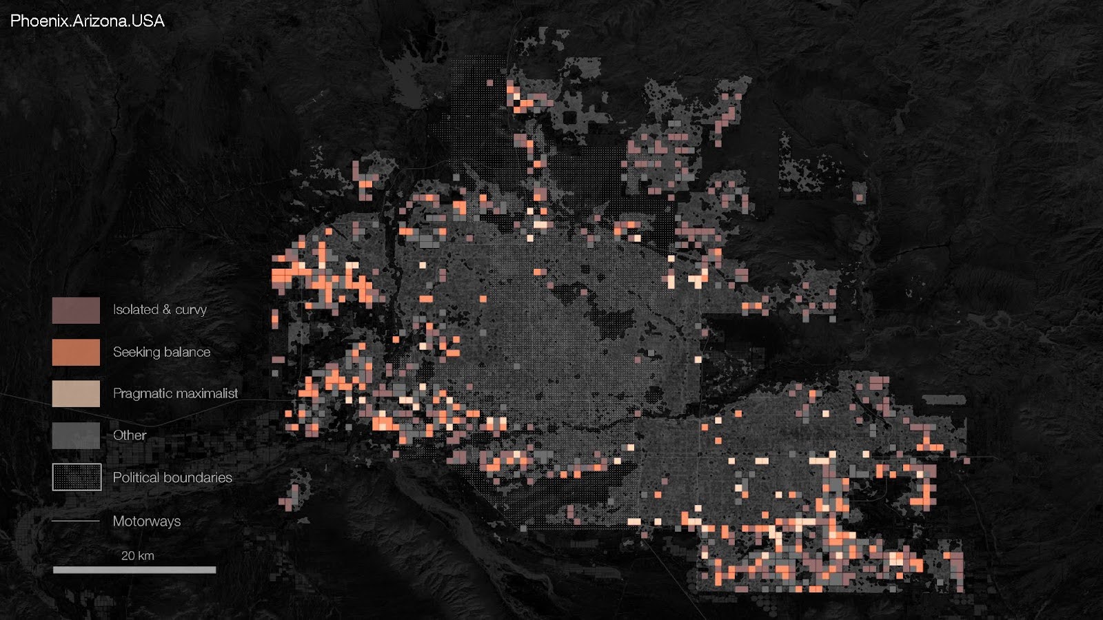
The aim of the course is to equip students with the knowledge and skills necessary to create innovative computational cartographies that effectively represent urban dynamics. It provides a framework to critically analyse data, understand the complexities of urban environments, and utilise advanced tools to create meaningful visual representations. The core competencies are complemented with an exploration of creative and intuitive design processes and practical group exercises.
At course completion the student will:
- Fluently use Rhinoceros and Grasshopper 3D
- Produce data-rich cartographical outputs
- Critically analyse and select appropriate data to capture and represent urban dynamics
- Implements design interventions taking advantages of computational tools