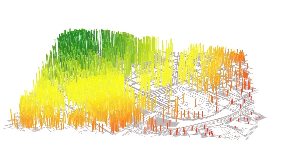
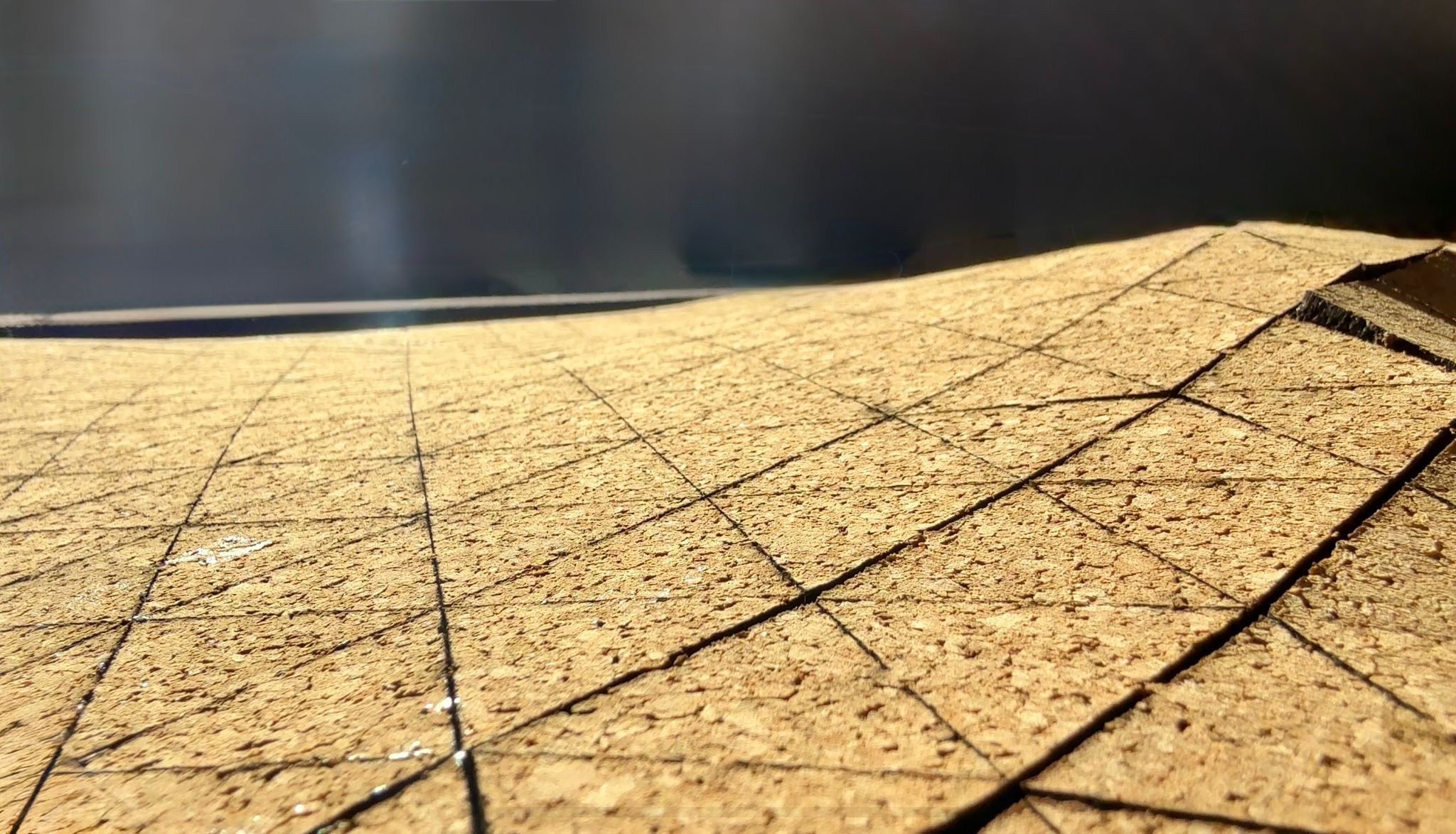
AWW System – Augmented WoodWorking System
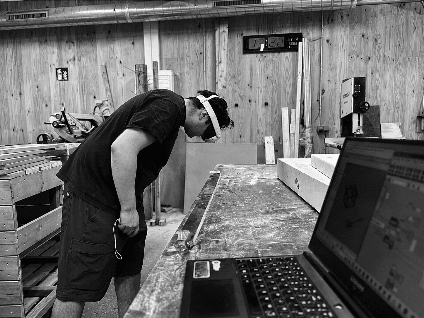
A headset-based AR platform that guides a human assembler through complex joinery step by step, projecting ghost geometry directly onto the physical parts in 3D space. The system closes the feedback loop in real time, reading part placement through the device’s own cameras and advancing the assembly sequence automatically when each joint is correctly seated. … Read more