IAAC’s Master in AI for Architecture & the Built Environment is a unique program oriented towards leading the change in decarbonising human activities and crafting a more sustainable, resilient future urbanisation for our planet. Through an innovative curriculum deeply rooted in AI applications, the program pioneers novel AI-driven solutions that not only respond to the pressing challenges of our time but also set a new standard for environmentally and socially conscious co-design and planning. The Master in AI for Architecture & the Built Environment is training the professionals that city administrations, governments, industries, and communities need, to transform the built environment in the era of digital technologies.


Filters

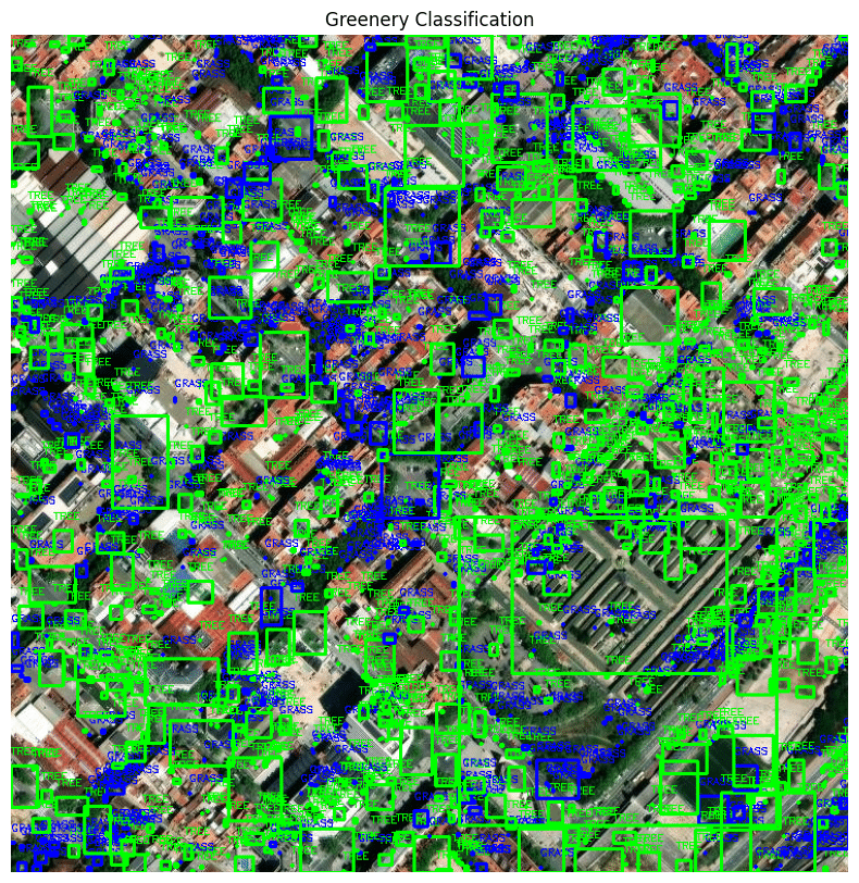
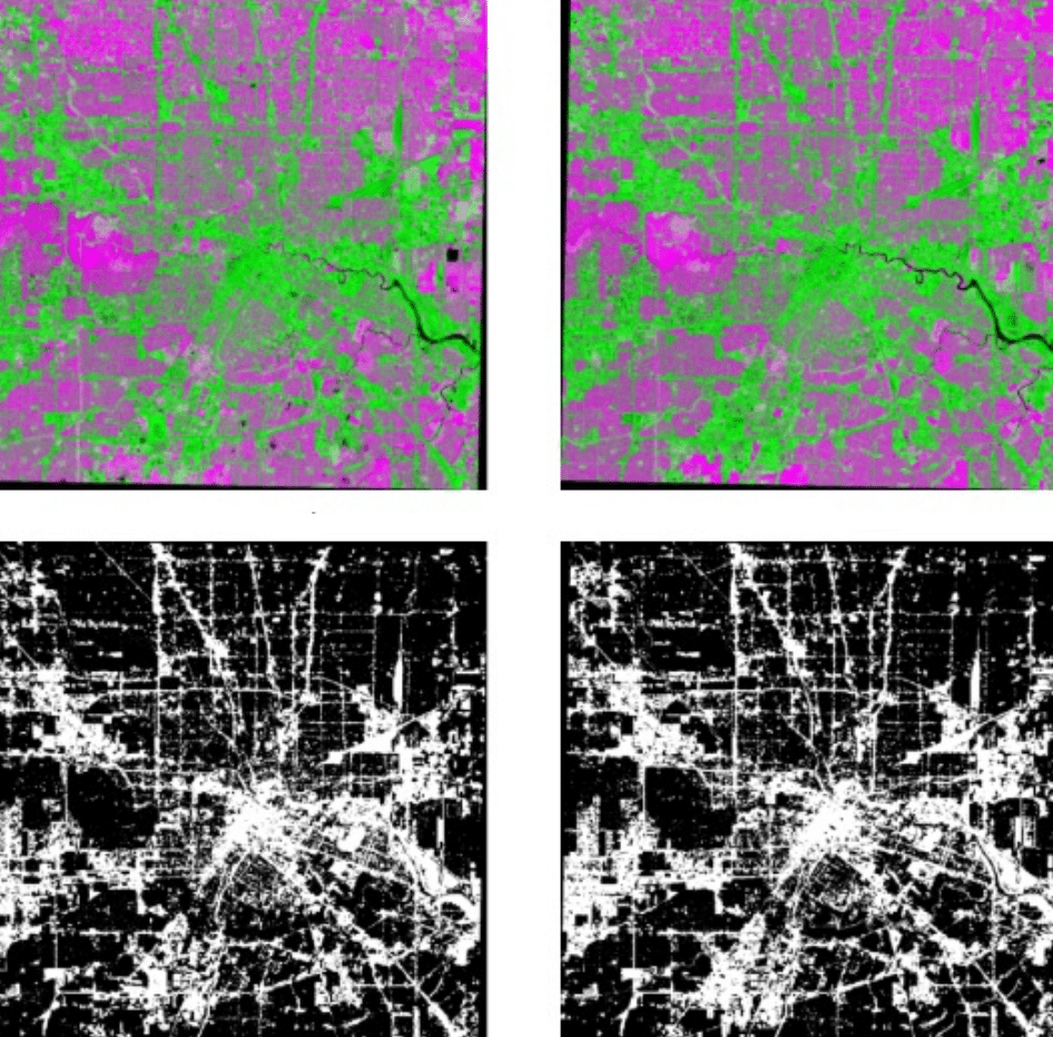
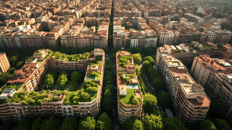
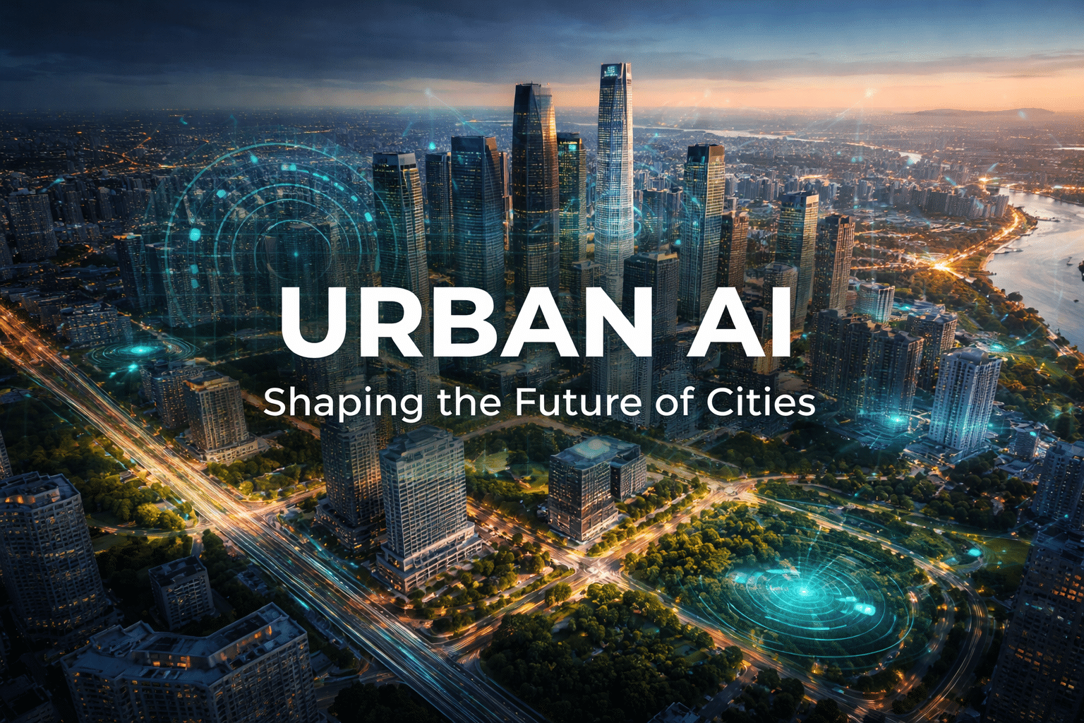
URBAN-Ai: AI based forecasting platform that predicts evolution of urban density and land-use.

The growth of cities on an urban level has been very random and often scattered due to several reasons, like; UNDPREDICTABLE URBAN GROWTH, DYNAMIC ZONING TRENDS and SHIFTING DEMANDS. This has led to the cities being have to be planned reactively rather than proactively. This has led to a problem of cities being inefficient, rising … Read more

GG Worlds [v.2]

Introduction: From Words to Worlds Game design is one of the most creative fields in digital media today but for most developers, turning ideas into immersive worlds remains slow, expensive, and overwhelming. Especially for independent creators, level design, the art of shaping the physical and emotional journey of a player, is often the most demanding … Read more

Urban Vegetation Analysis Using Computer Vision and Deep Learning

(PaintDumpster/environmental_data_workshop at ndvi) – Link to GitHub This project aims to detect and classify different types of greenery in satellite imagery by utilizing color and edge detection techniques. The study area is located in Barcelona, Spain (41.396536, 2.194554). The stable version employs color and edge detection for image segmentation, while an alternative method integrates LiDAR … Read more

Urban Layers

Tracking Morphological Evolution Over Time Urbanization and Vegetation Change Analysis Using Satellite Data Introduction Satellite imagery provides a powerful view of Earth’s surface, but to the naked eye, changes like urban growth and vegetation loss are not always obvious over time.Colors and features can look deceptively similar, making it difficult to accurately assess land cover … Read more

Flood Impact Mapping along the Turia River, València – Flood of 2024

When torrential rain dumped an entire year’s worth of water on Valencia in barely eight hours on 29 October 2024, the Turia spilled over its banks, submerging citrus groves, highways and whole neighbourhoods. More than 200 lives were lost, hundreds remained missing and Spain faced its worst flood disaster in recent history. Events like this … Read more

Green Liminals: Feasibility Study for AI-Driven Budget Optimization for Urban Sustainable Solutions

Abstract The project explores innovative ways to address Barcelona’s sustainability challenges, such as carbon emissions, air pollution, and energy inefficiency. By leveraging AI, IoT sensors, and Nature-Based Solutions (NBS), the project aims to optimize municipal budgets for interventions that transform underutilized urban spaces into productive assets. The study highlights solutions like urban farming, greenery, and … Read more