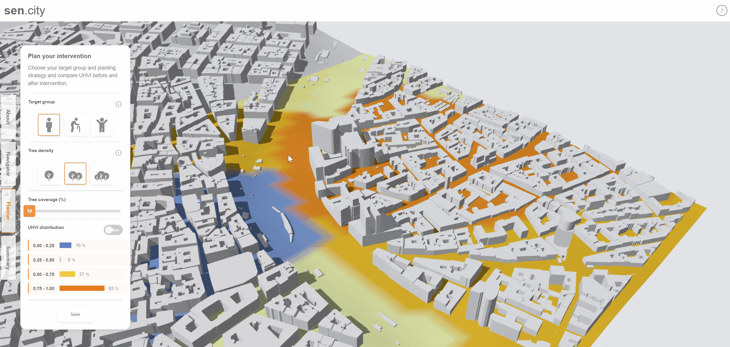
Vitru.views – See Cities at Human Scale
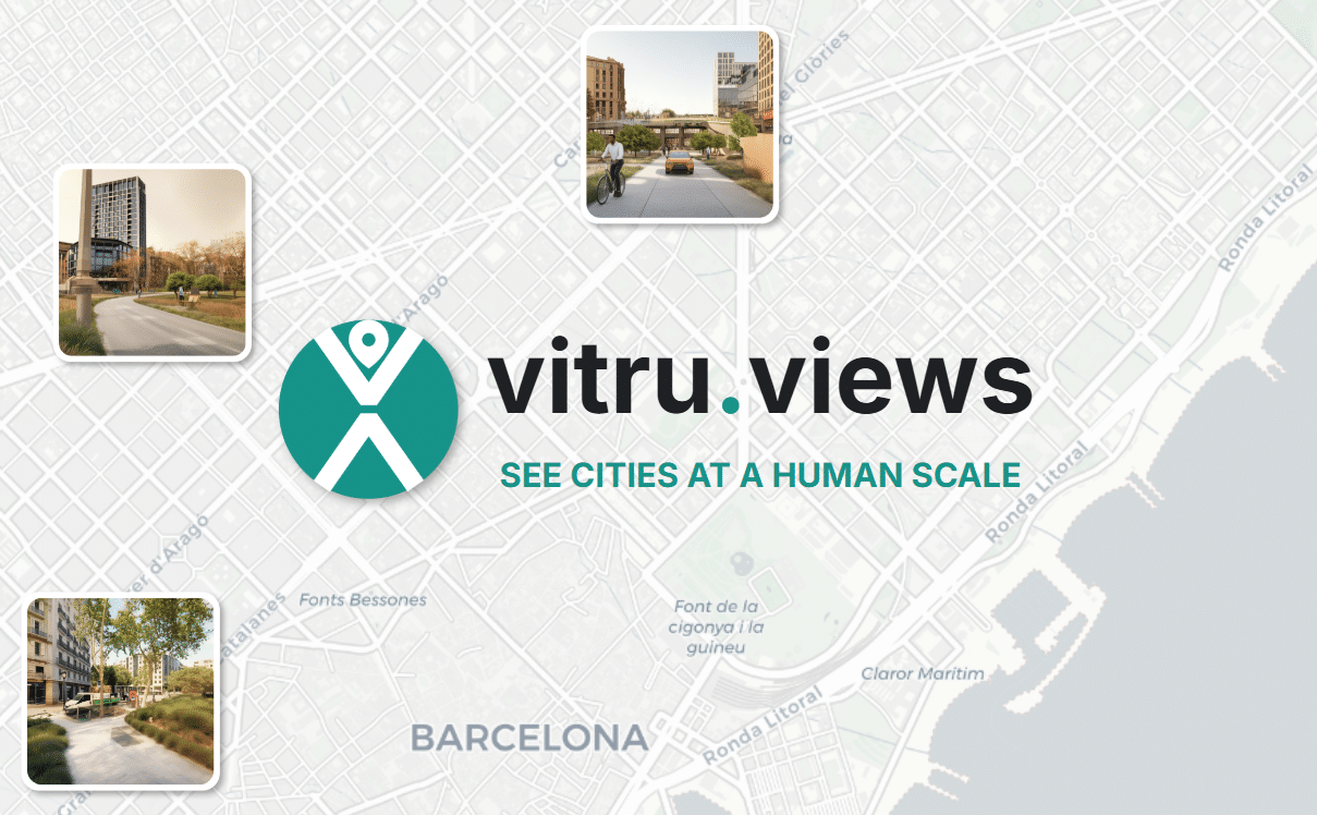
Our cities have long been shaped around cars — wide roads, narrow sidewalks, and green spaces replaced by parking lots. Cars have quietly become the measure of how we design our streets. But what if cities were designed for people instead? As Fred Polak wrote in Images of the Future, the act of visualizing possible … Read more