Encoding Urban Risk: Spatial Feature Analysis and Assessment
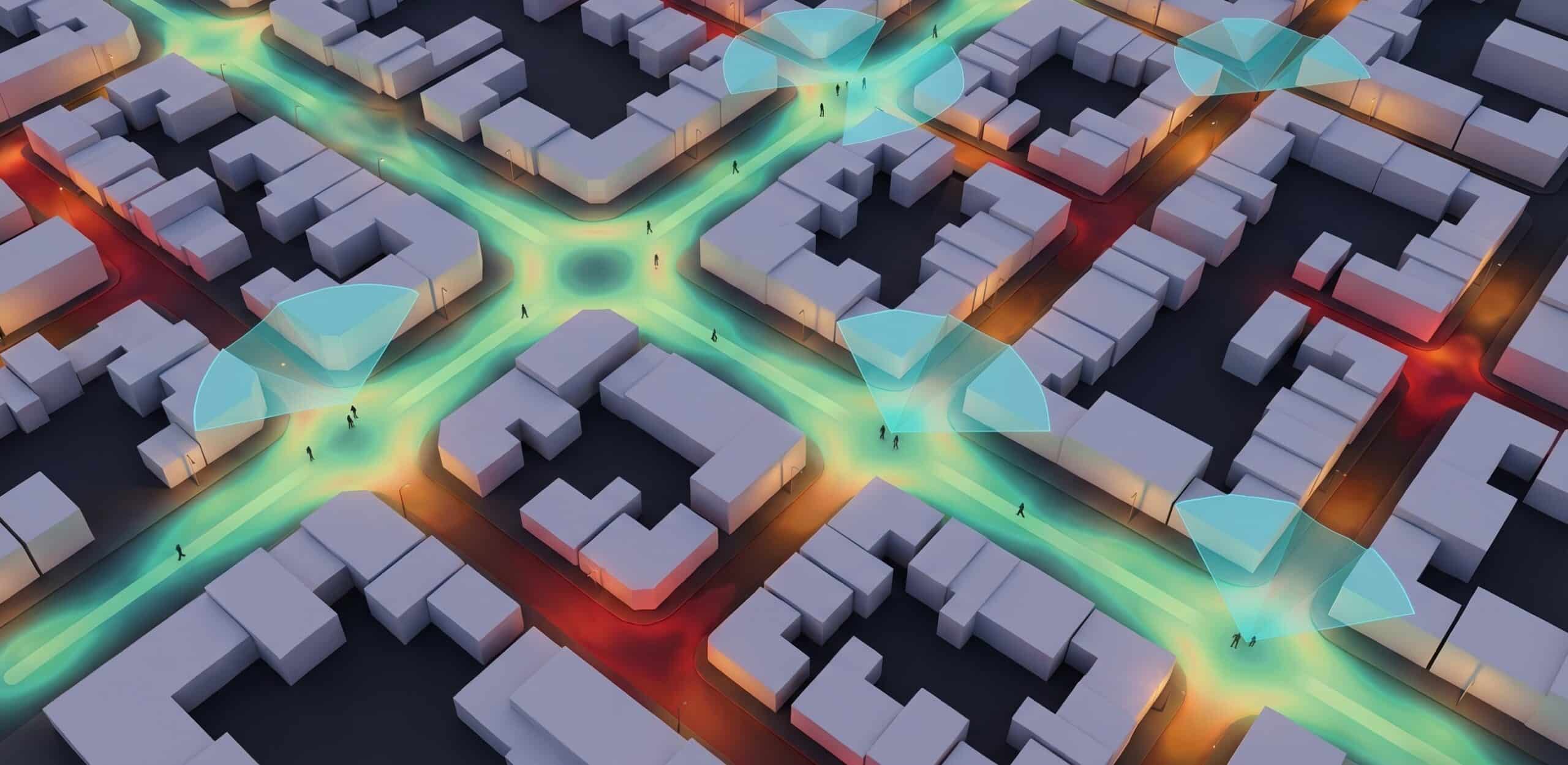
Can Street Geometry Predict Urban Safety Risk? A machine-learning pipeline that classifies street morphology into risk typologies — from OpenStreetMap features to multi-city deployment, dead ends included. This post documents the full arc of our Urban Safety project — not just the results, but the reasoning, the wrong turns, and what we learned from them. … Read more