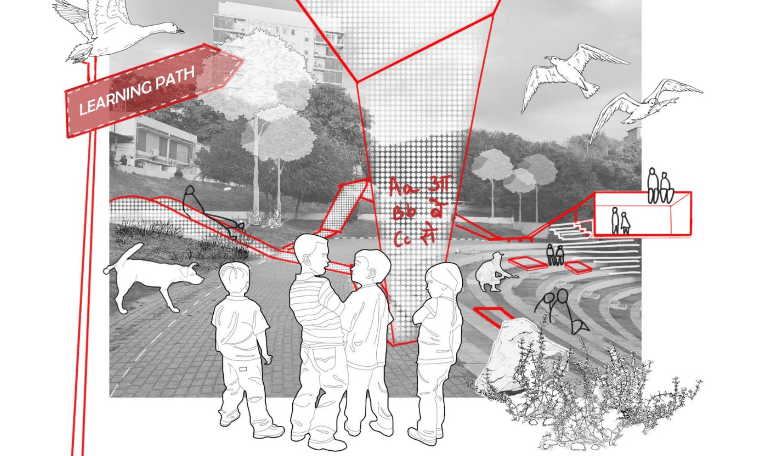
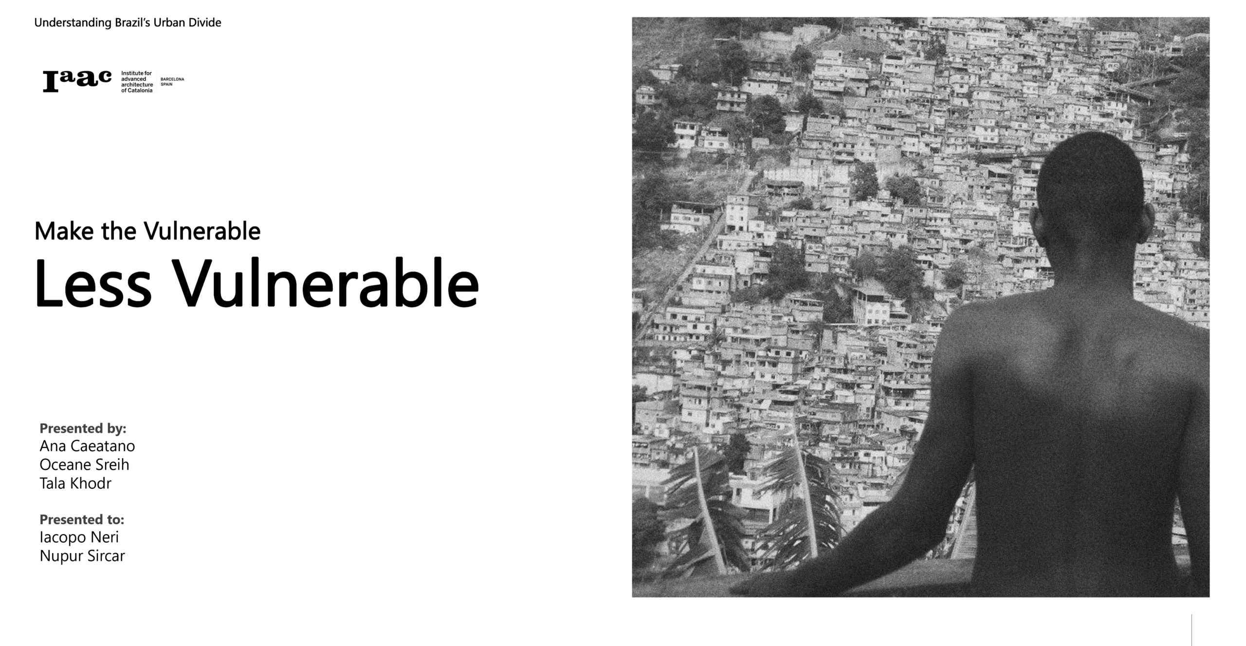
Make the Vulnerable, Less Vulnerable
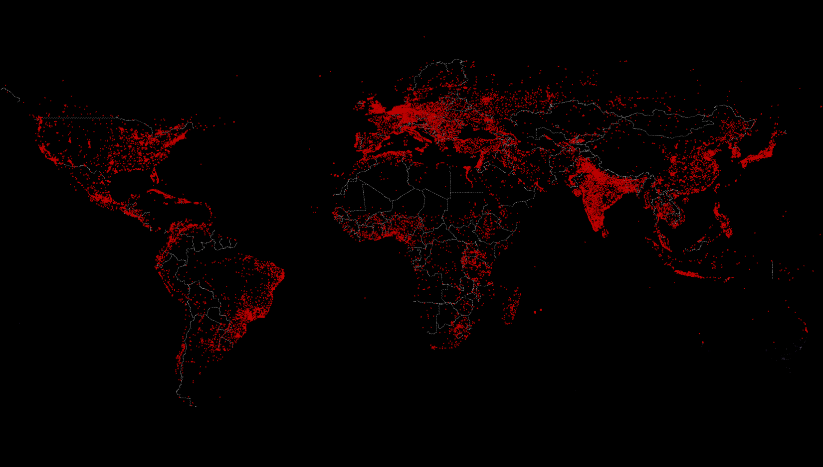
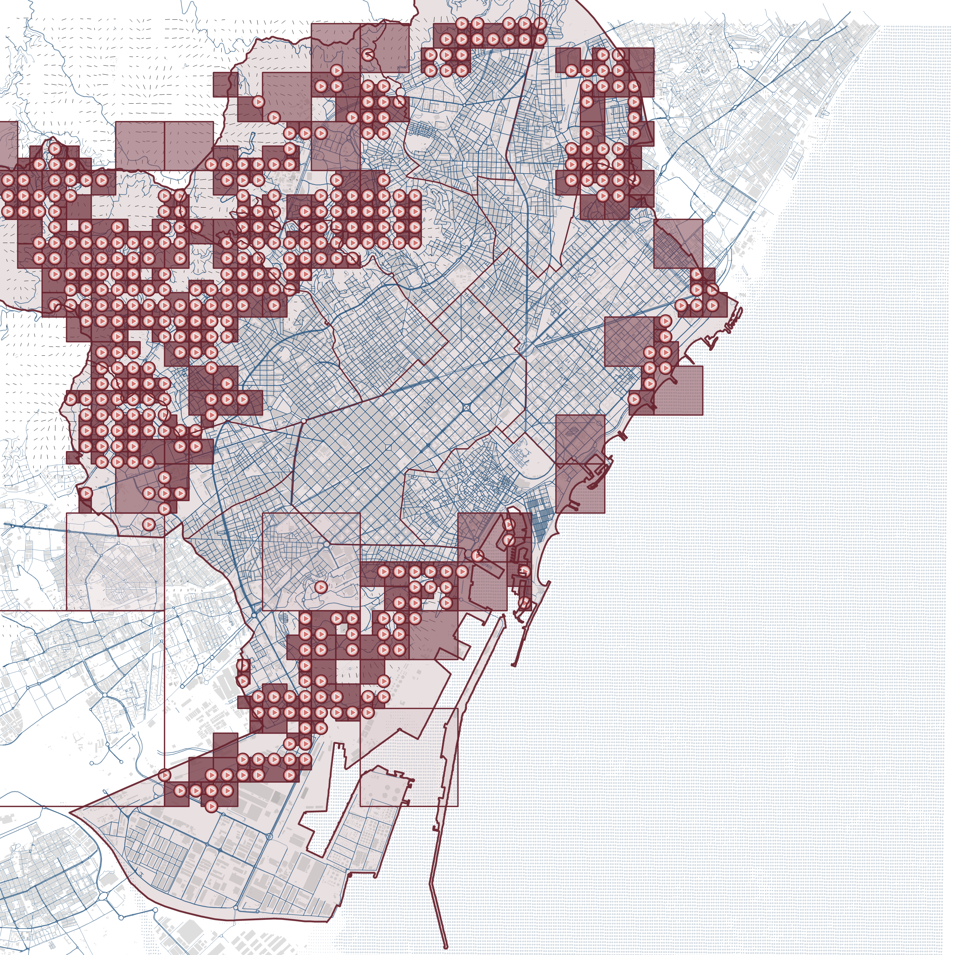
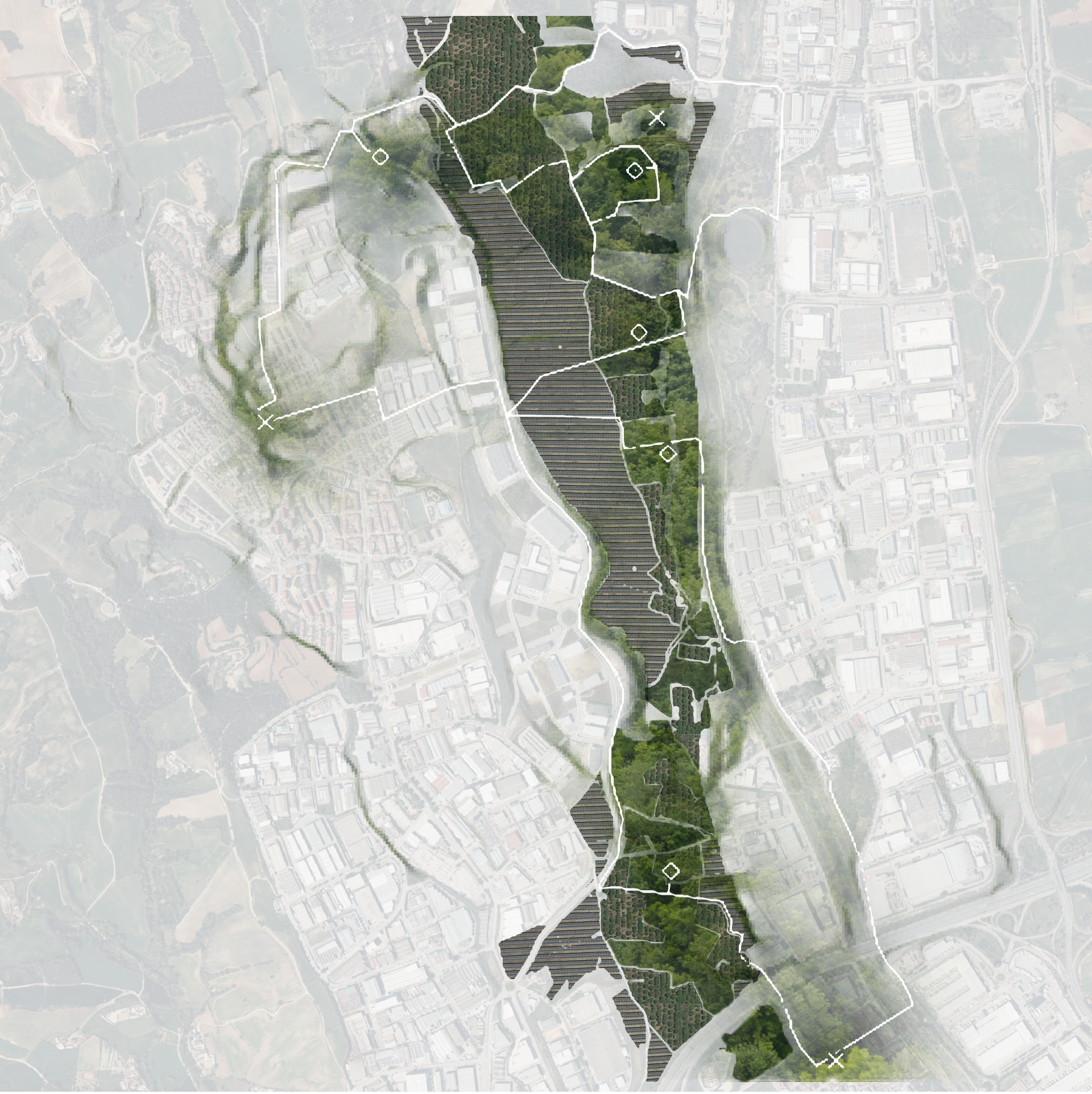
Brazil Vulnerability Cartography Brazil, a vast and vibrant country, is renowned for its breathtaking landscapes from rolling highlands to expansive savannas. It’s known for iconic beaches and bustling urban centers where a dynamic blend of cultures and ethnicities come together. Its cities hum with energy, music, and art. Together, these diverse landscapes and rich social … Read more