Cities in Pixels: Mapping, Moving, and Meaning in the Digital Era
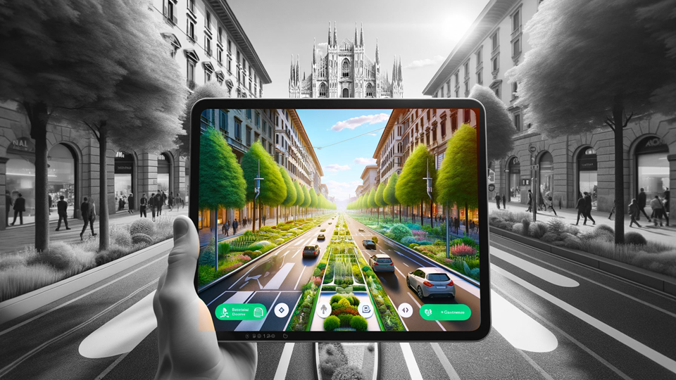
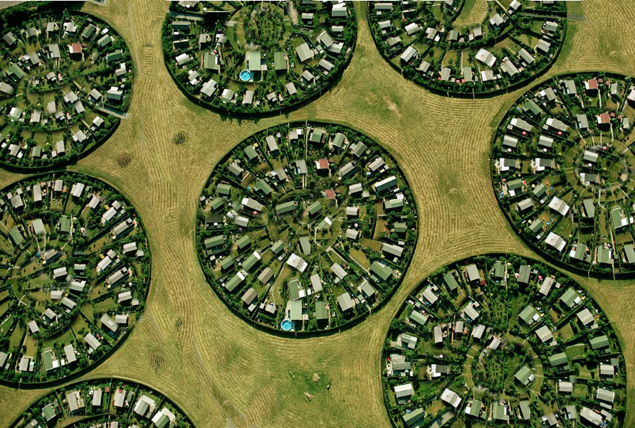
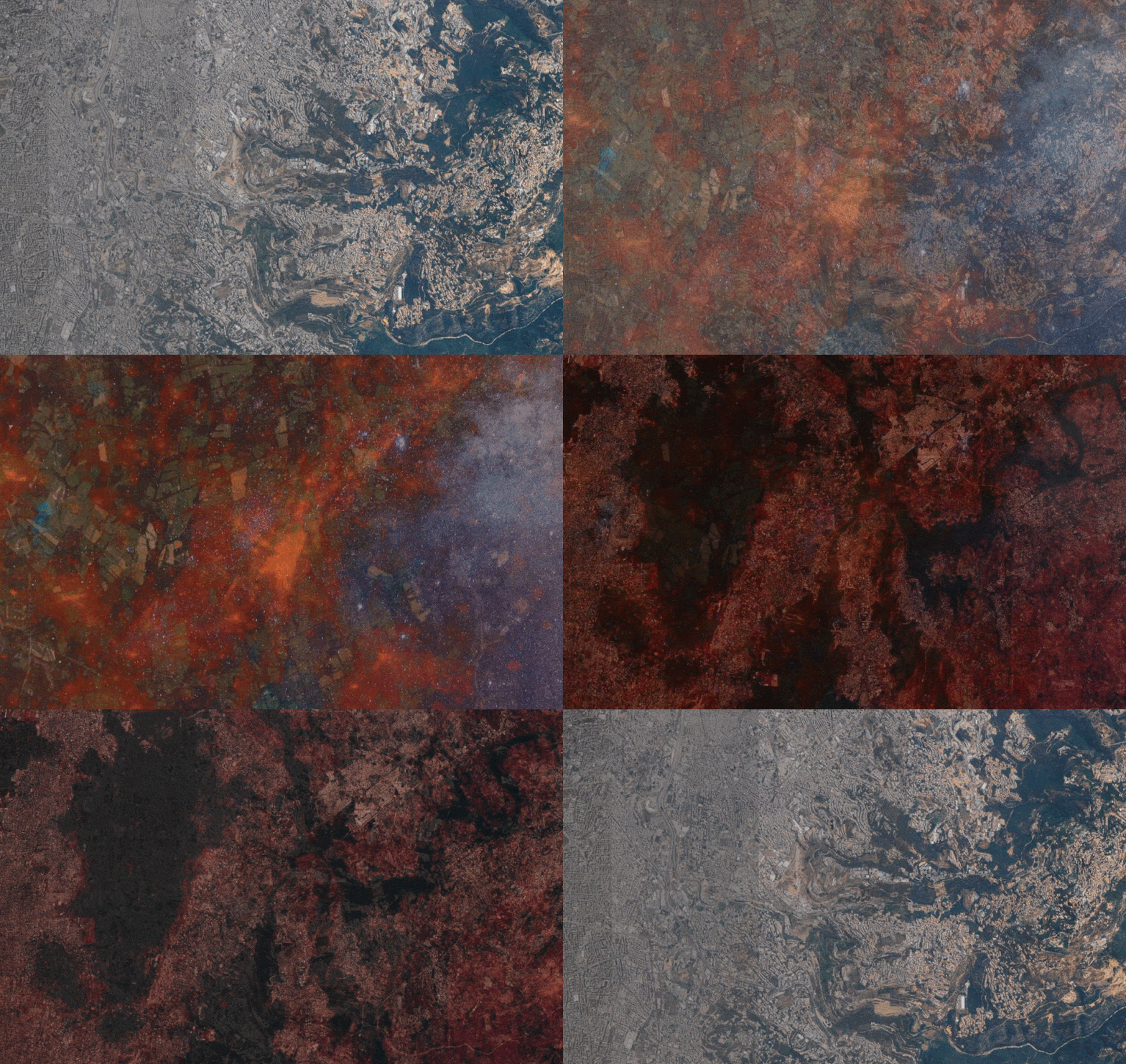
In the age of digital urbanism, cities are no longer understood only through streets, buildings, or neighbourhoods—they are interpreted, navigated, and governed through layers of pixels, data points, and algorithmic models. Our visualization project, Cities in Pixels: Mapping, Moving and Meaning in the Digital Era, examines this transformation using Geographic Information Systems (GIS) as its … Read more

