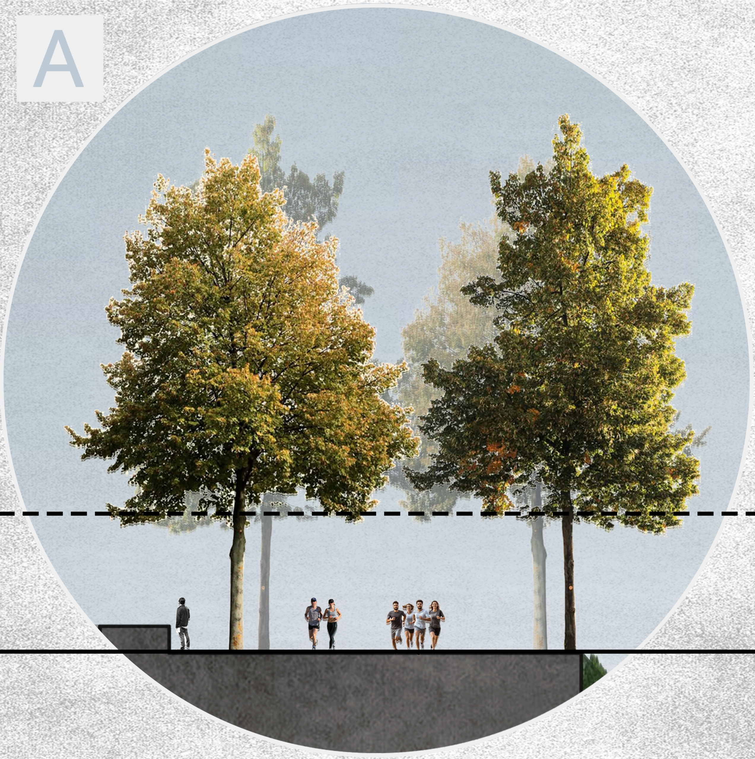
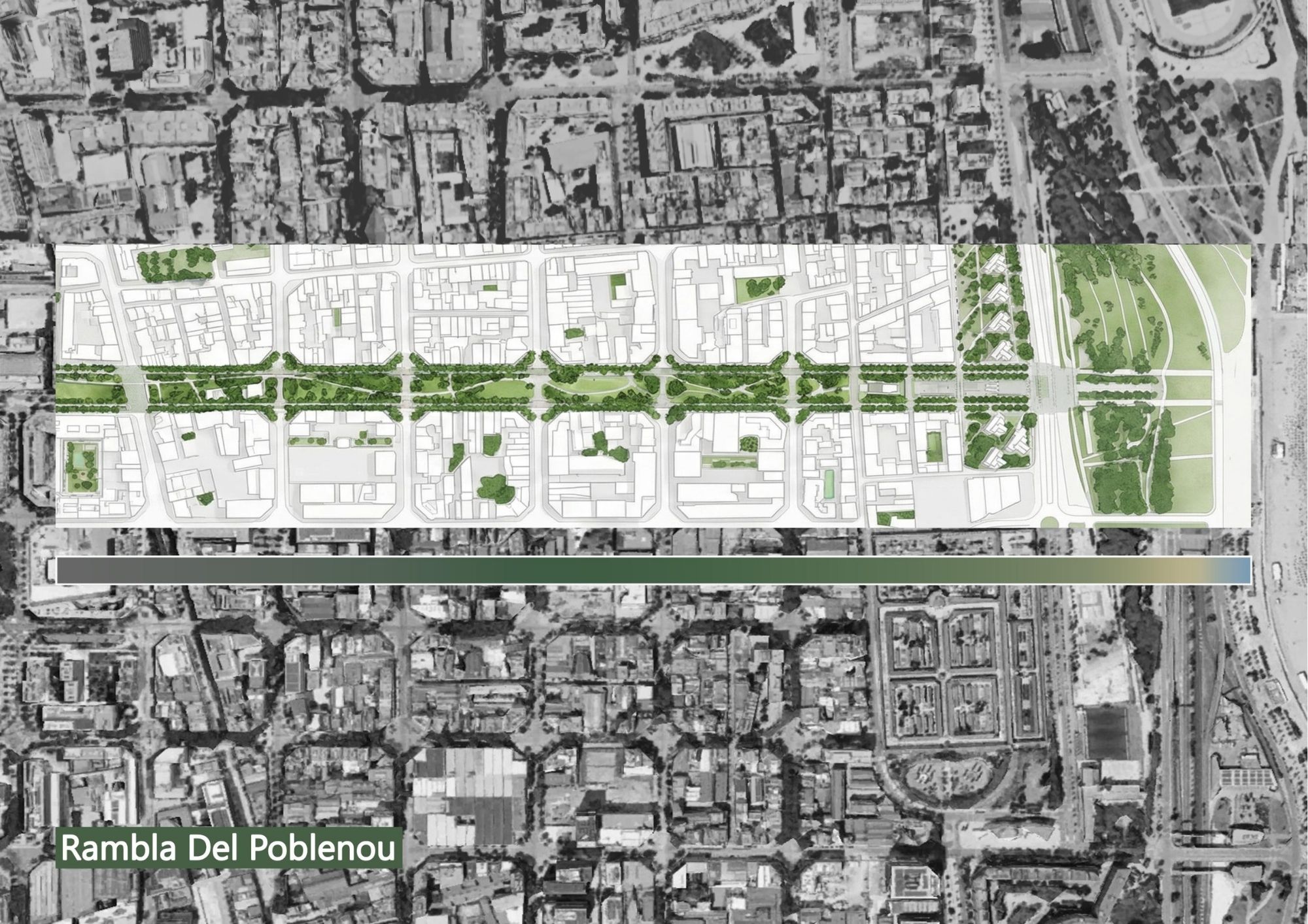
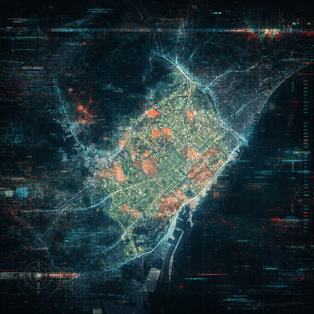
Collectively Forward – a case of Trinitat, Barcelona
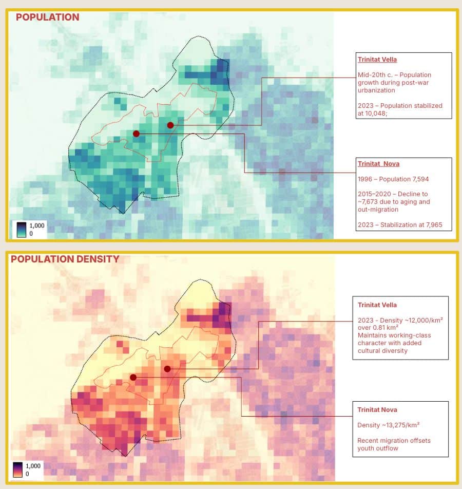
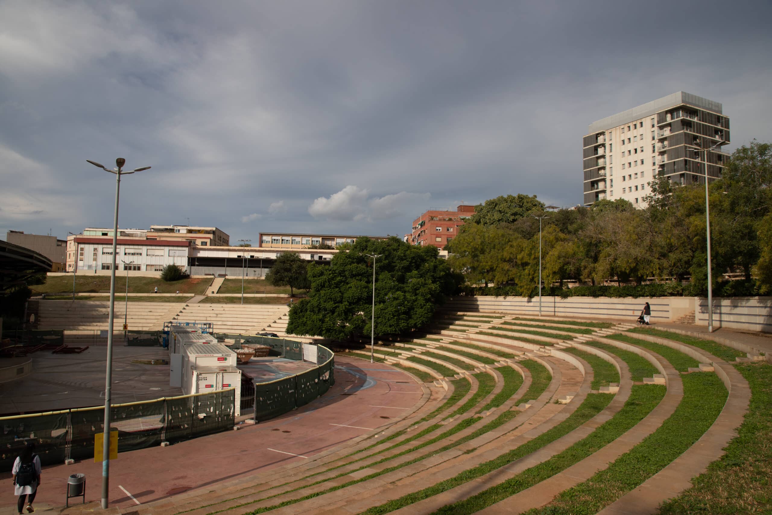
Trinitat Nova, Trinitat Vella and La Trinitat are three neighbourhoods in Barcelona separated by 600 metres and divided by decades of infrastructure built for the city rather than for the people who live in it.** Ronda de Dalt — a six-lane open-cut highway — severs ecological continuity, buries the 10th-century Rec Comtal waterway beneath concrete, … Read more