Reconnecting the Port
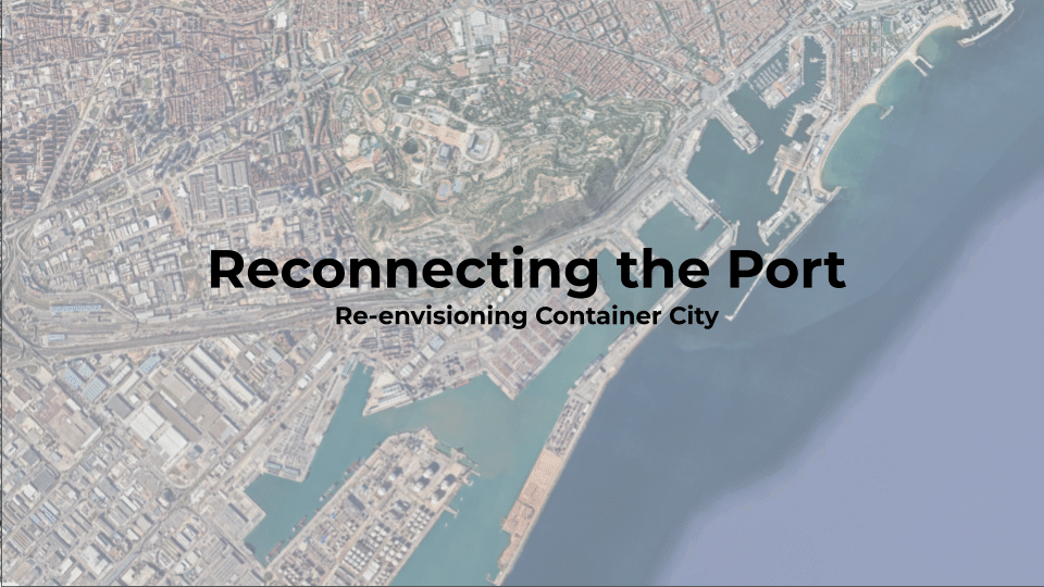
Re-envisioning Container City One of Barcelona’s most strategically located waterfront areas, the container port south of Montjuïc, remains largely disconnected from the inner city. As the city explores the possibility of relocating portions of its container operations in this speculative project and transforming this industrial landscape into a mixed-use district, mobility becomes a more pertinent … Read more