Spatial Data to Economic Intelligence: Diving Deeper

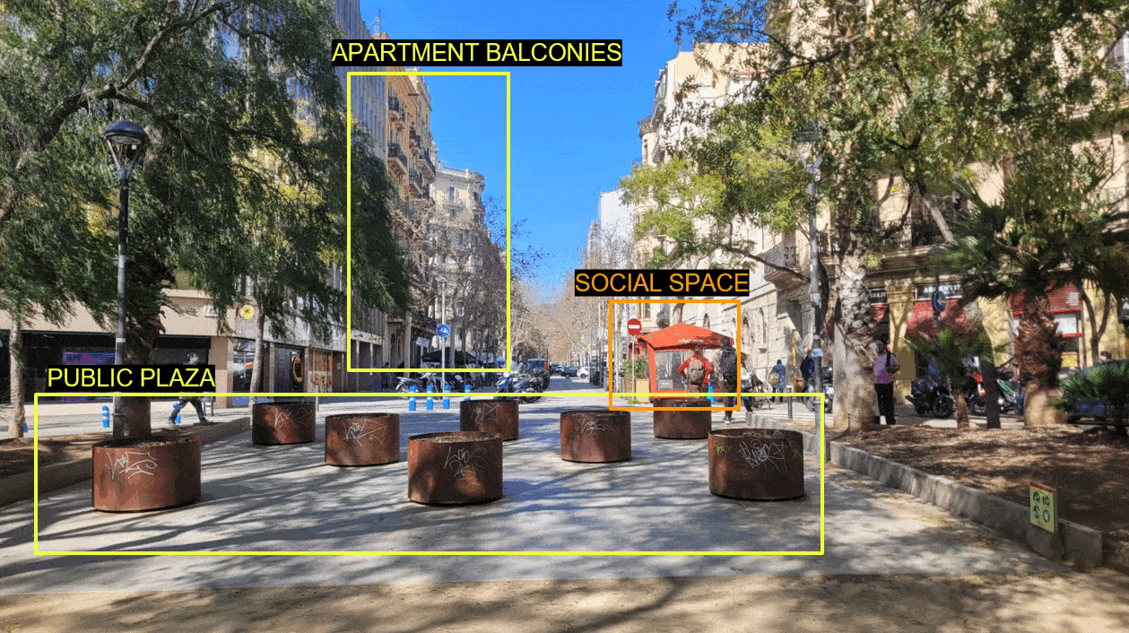
Diving deeper into building reliable interpolation methods The Importance & Significance of the F&B establishments in the City Food and Beverage (F&B) service outlets are significant indicators of urban progress as they reflect evolving consumer preferences, economic vitality, and the integration of social spaces within urban landscapes. These establishments act as hubs for community interaction, … Read more