
The Sant Martí district of Barcelona includes the past and the future of the city, ??with ten neighborhoods that share a common link:
an industrial past.
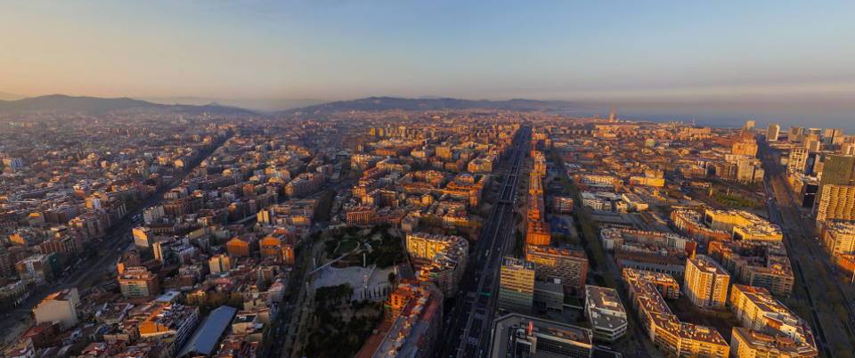
Sant Martí was originally a large territory on the outskirts of Barcelona’s wall, and was hardly inhabited. It used to be marshes, swamps and lagoons belonging to the Besòs river delta. First called “ager provincialis”, this land was meant to provide the city with food.
History
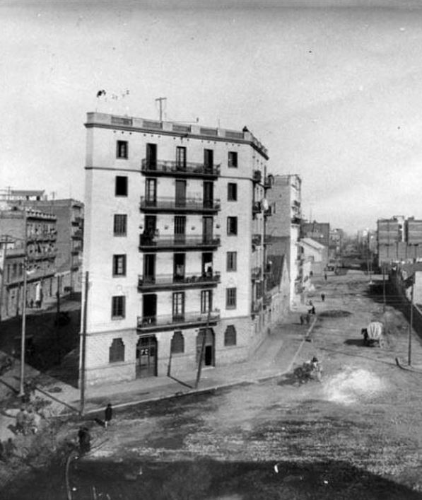
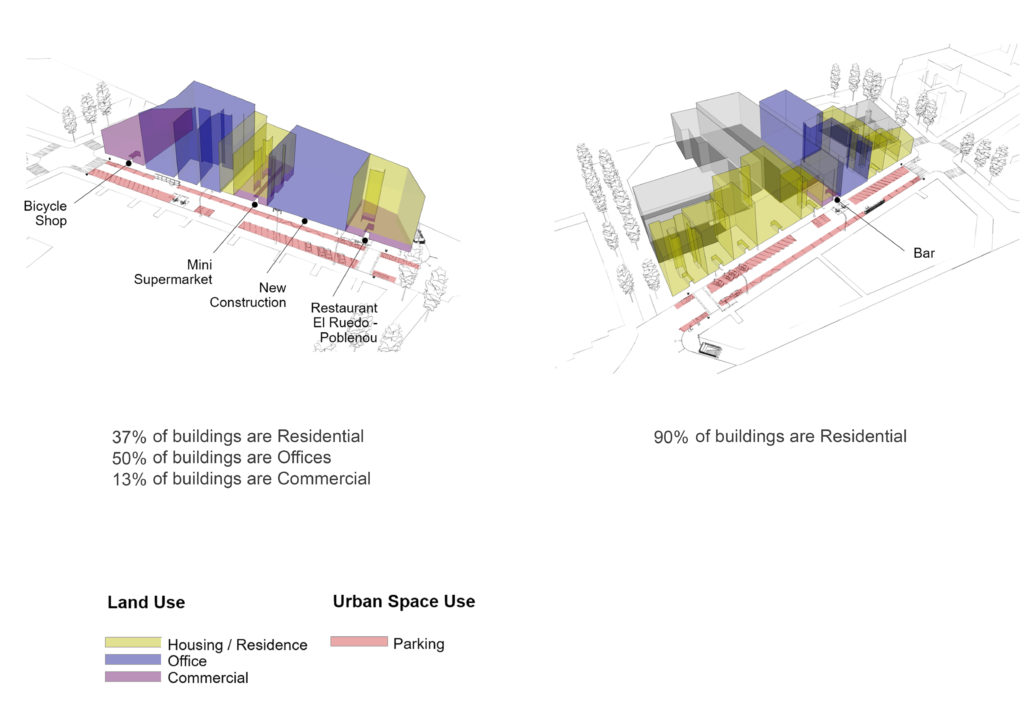
The Pere IV axis, called Carretera de Mataró until 1907, was the main communication route from the city of Barcelona to the north. The street currently has a length of 3.7 km and connects the Ciutadella with the Besòs. The Pere IV axis was home to a good number of the main factories in the country and also a commercial node to supply the new contingent of workers who arrived to work there.
One of the ten neighbourhoods of Sant Martí is El Parc i Llacuna del Poblenou. The cores from this area were established around several parks, and its name translates to “The park and Lagoon of Poblenou”. It mixes residential and innovative business areas with modern and cultural constructions and several successful startup companies.
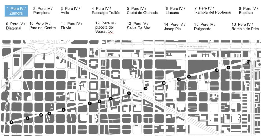
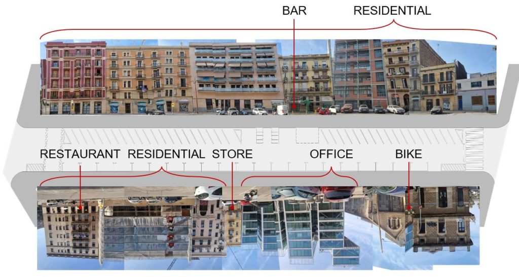
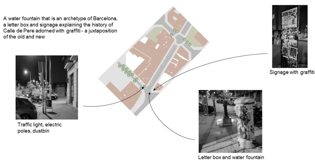
Pere IV/Zamora – Street of Interest
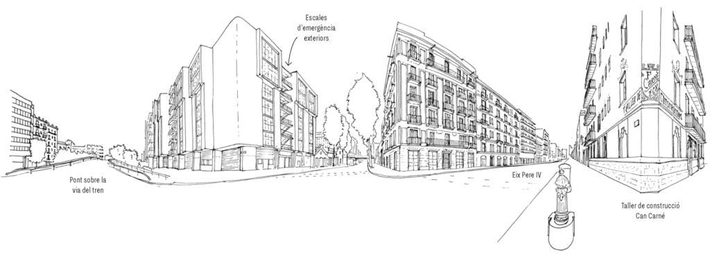
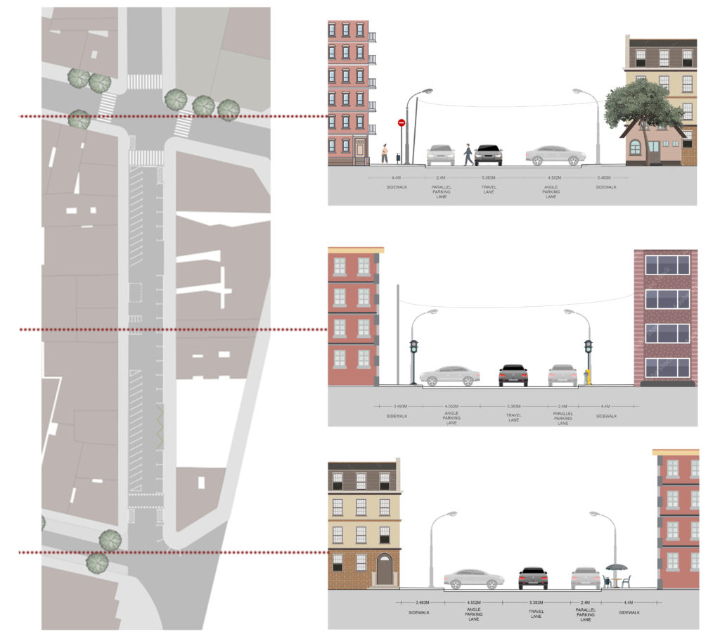
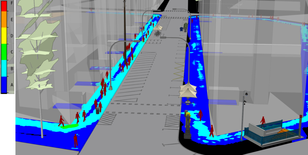
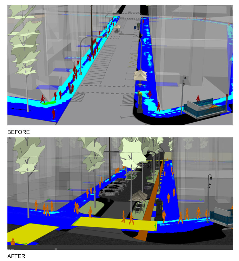
Sidewalk Condition
The sidewalks and travel lane showed tremendous potential for improvement as the problem was not the availability of space, but the judicious utilization of it.
Origin-Destination Matrix
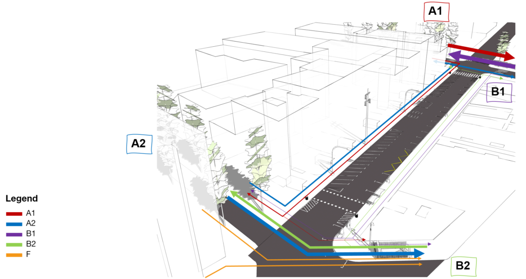
8:00 and 17:00
Proposal
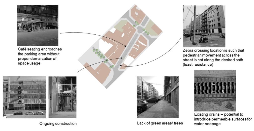
The agenda was to utilize the space more efficiently, optimize pedestrian movement and introduce landscape elements that not only provide natural shading but also address ground water regeneration.
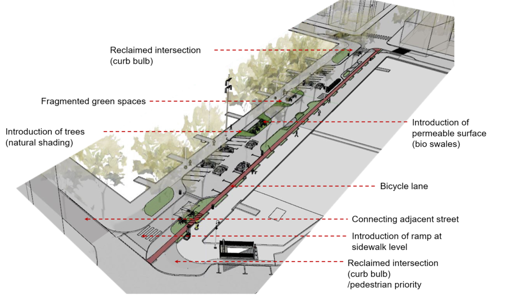
A ramp that connects the sidewalks acts as an extension of the contextual street elements and ensures barrier free movement and slows down speed of incoming traffic. Introduction of green median on the sidewalk ensures unhampered flow of pedestrians and cyclists. Curb extensions in the form of green areas reclaim the vehicular right of way making it more pedestrian friendly. The fragmented green areas ensure pedestrian movement only at designated zebra crossings. Bioswales are introduced as a sustainable water drainage system.
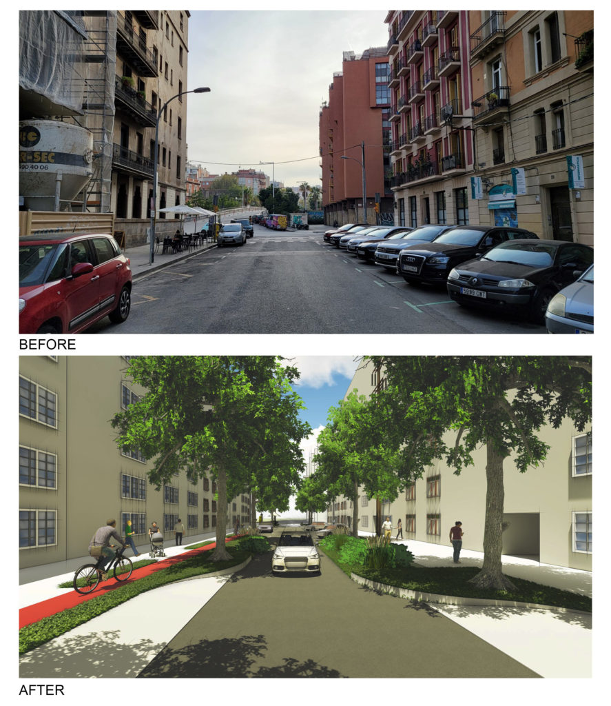
Which one would you walk through?
