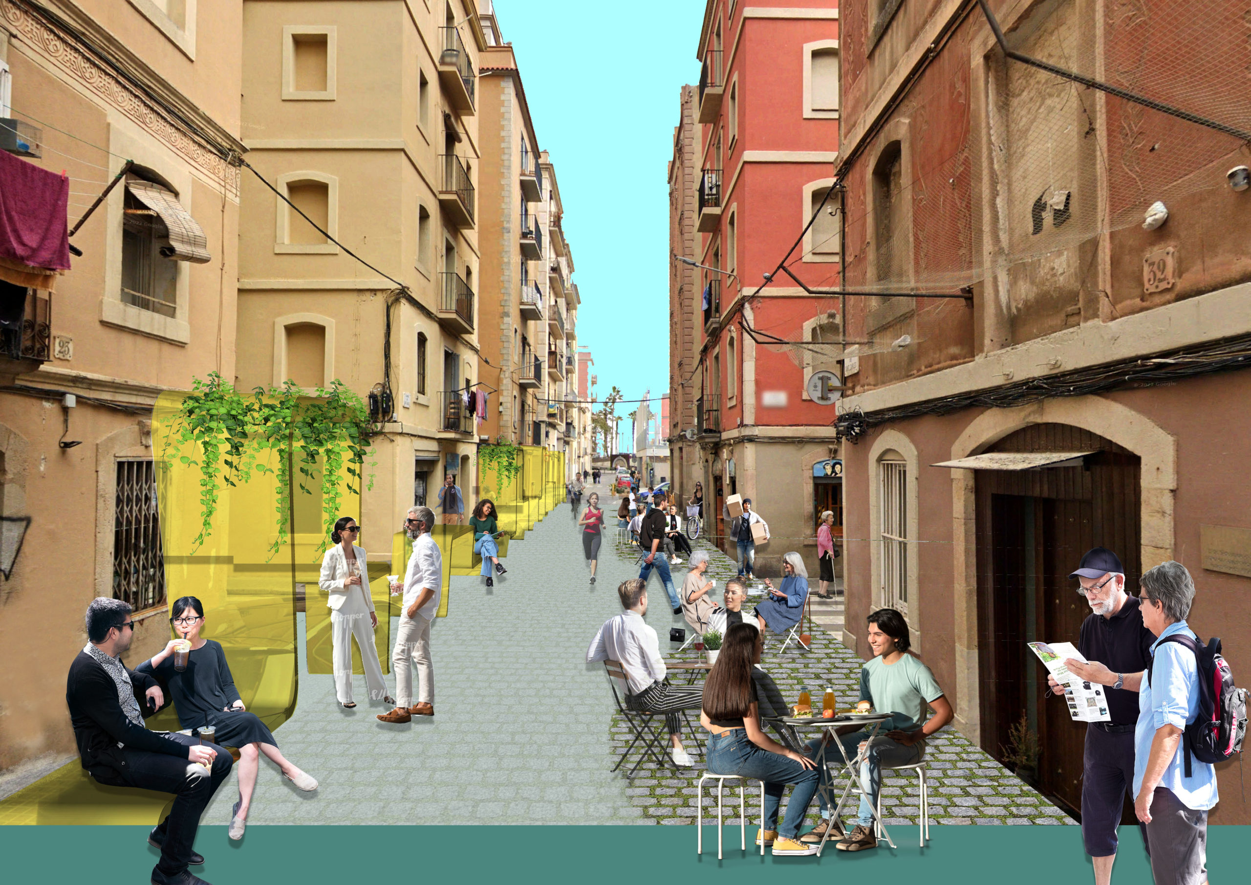
Streets compose, by far, the largest component of the publicly owned territory of cities. They are used daily by most people in a wide variety of capacities and contexts, as transportation facilities, as spaces of consumption and leisure, as places of politics and protest, as places to make a living, and as places to live for the unhoused.
The importance of streets as a critical public space for social interaction is widely recognized by urban planners and cities alike. Urban planners have proposed ambitious strategies to promote pedestrian friendly environments to foster active transportation alternatives (Calthorpe, 1993; Duany, Plater Zyberk, Krieger, & Lennertz, 1991). Cities are investing vast amounts of resources in improving the quality of their streets, in part motivated by the conviction that well-designed streets will improve their citizens’ quality of life. This growing demand for street upgrading and renewal warrants further study on what makes streets desirable to pedestrians. An important step towards better street design is to understand where people walk and whether these choices are influenced by the built environment.
More recent work has incorporated advanced data collection methods to shed light on the relationship between pedestrian walking and the built environment. Examples include using GPS data to track pedestrian movements and using 2D and 3D GIS and machine learning techniques to construct more comprehensive measures of the built environment (Yin, 2017; Yin & Wang, 2016).
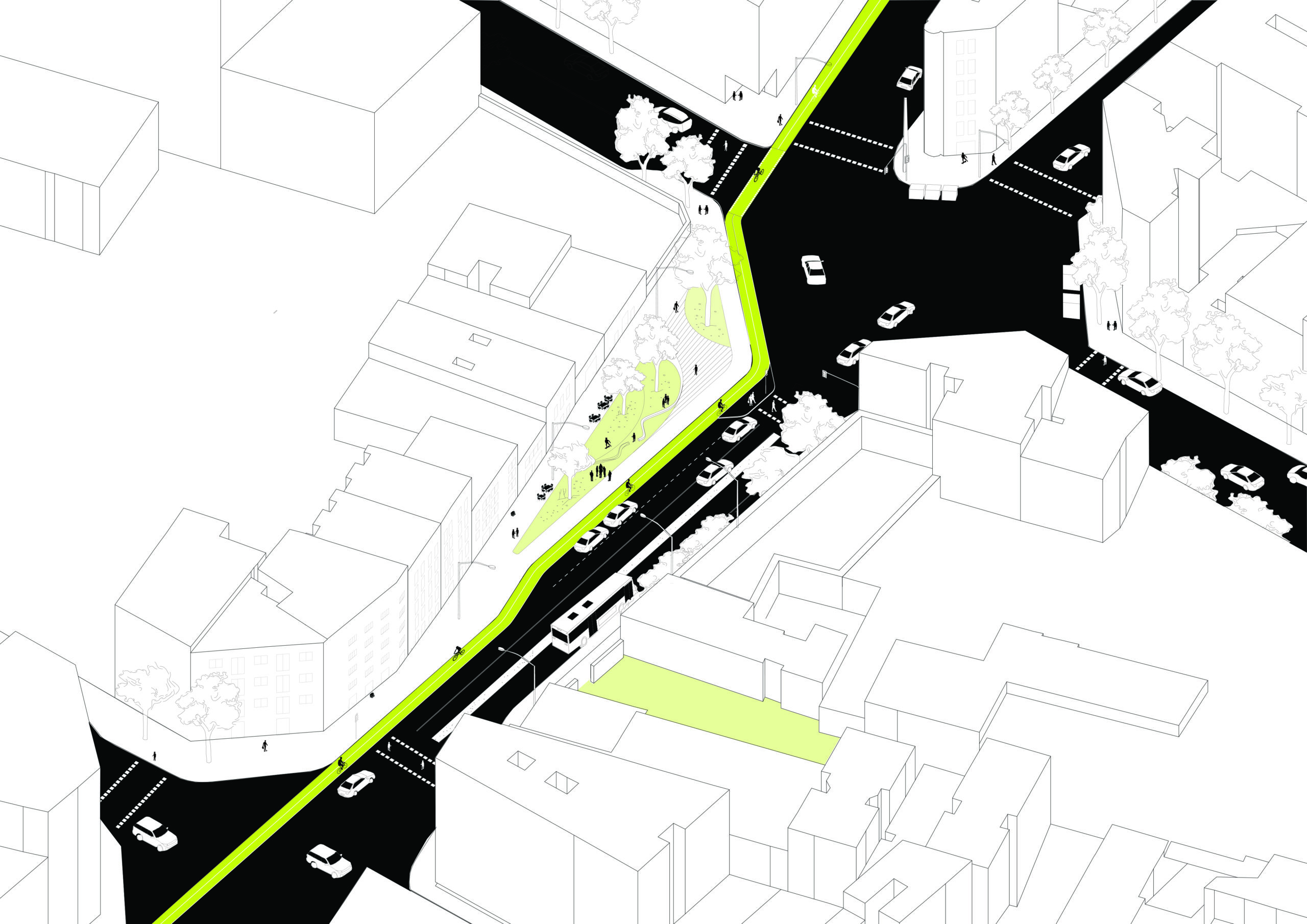
This seminar will focus on sidewalks and the mix of movements occurring over this essential city infrastructure. The area chosen in this seminar extends to the Eixample district, where student groups can narrow the focus area down to the local level for project proposals. Students will investigate pedestrian movements and accessibility on sidewalks, with the help of Massmotion Pedestrian Simulation Software, and with considerations of other modes of transport such as micro-mobility as well as autonomous freight delivery devices, learning key aspects and metrics of walkability, and how data can support transformative processes for better, safer and walkable streets.


