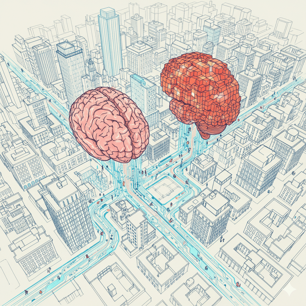
HB02: Urban Congestion as Catalyst
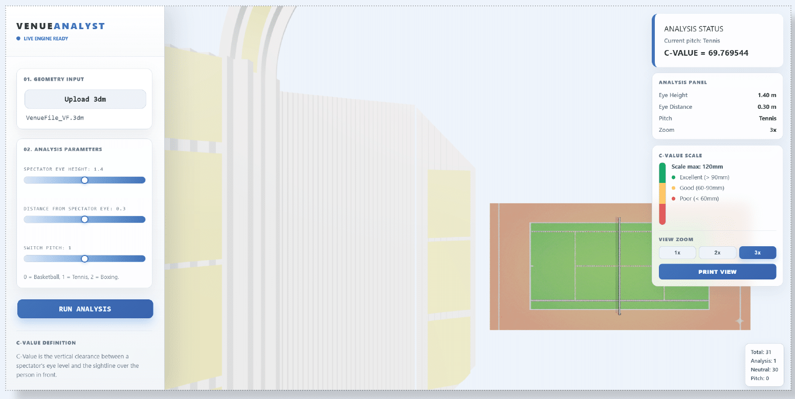
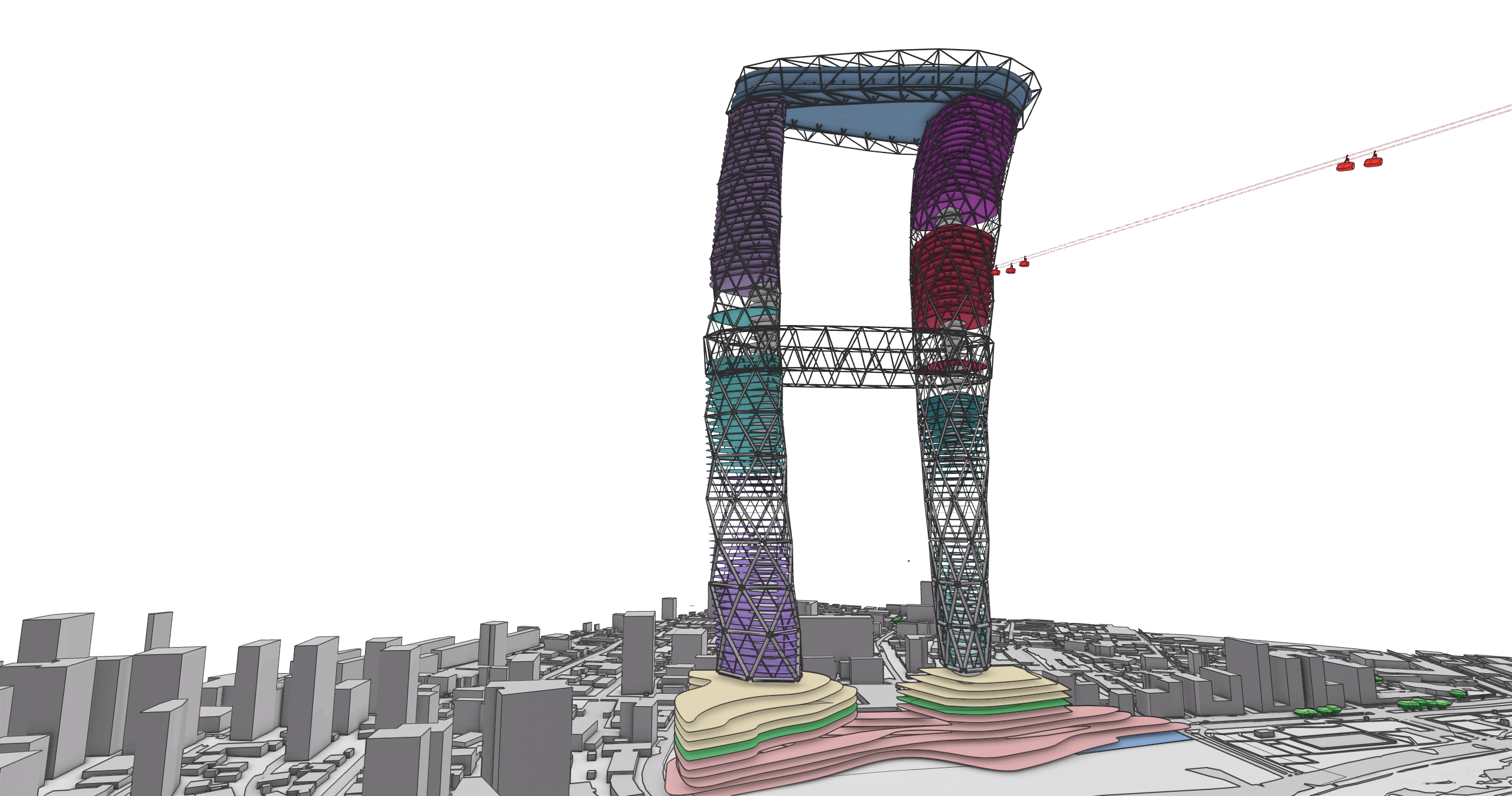
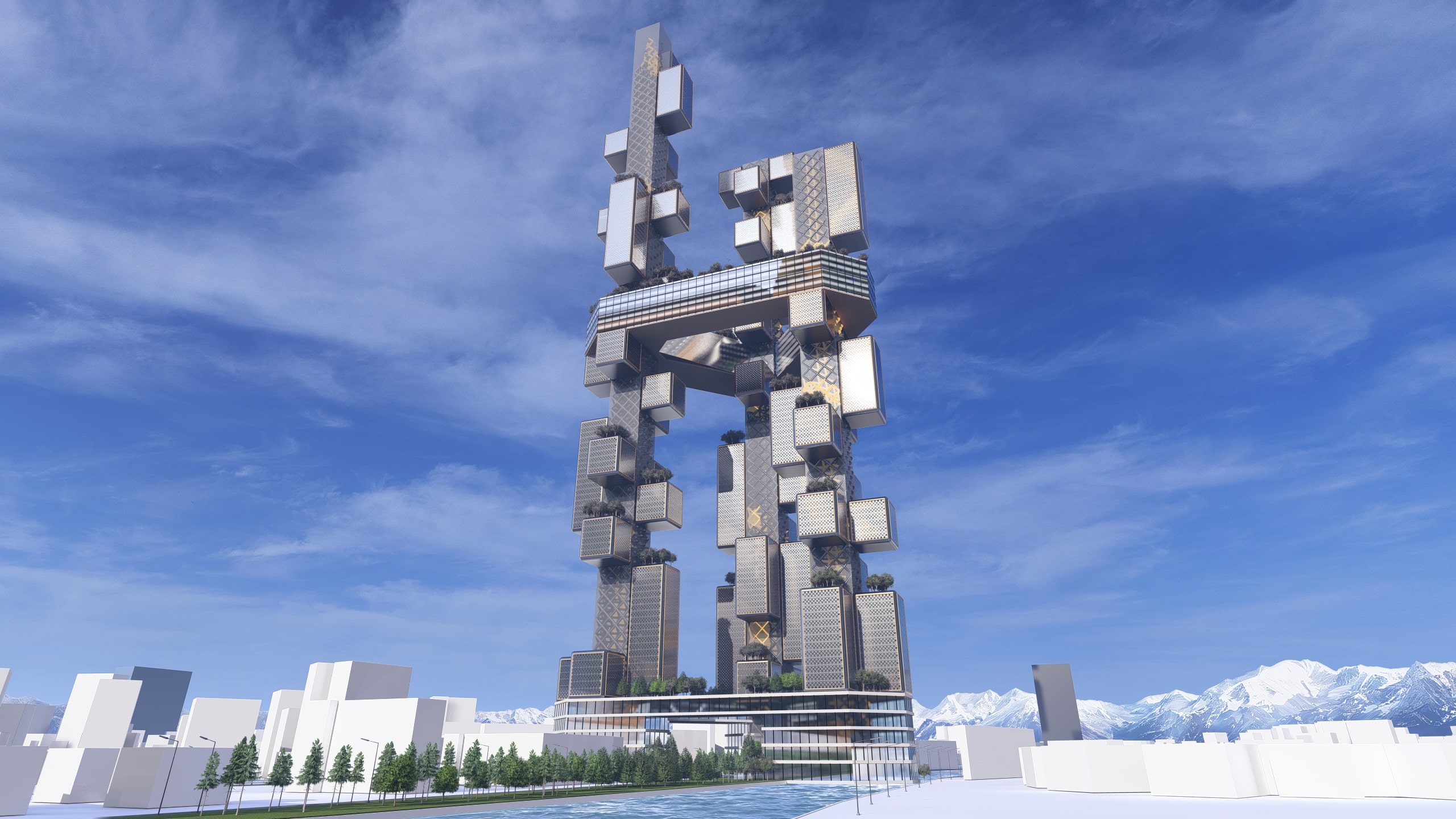
Program Team Hyperbuilding 02 proposes a program-integrated transit hub that reorganizes fragmented mobility networks, shortens commute times, and anchors a high-density mixed-use urban core to improve accessibility and urban performance. The design concept for Hyperbuilding 02 begins with a problem: fragmented mobility networks that create inefficiency, congestion, and poor urban accessibility in high-density environments. Rather … Read more