AI in the AEC industry: from early design stage to building maintenance
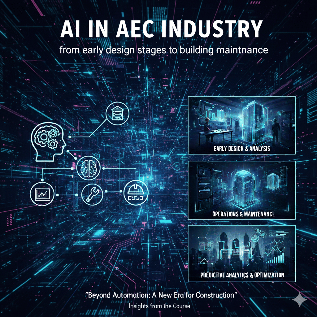
What Is the Purpose of AI in the AEC Industry? Artificial intelligence is not only a technology aimed at automating tasks; insights shared during this course demonstrate that AI plays a far broader and more strategic role in the Architecture, Engineering, and Construction (AEC) industry. Through real-world applications and practical case studies, AI emerges as … Read more