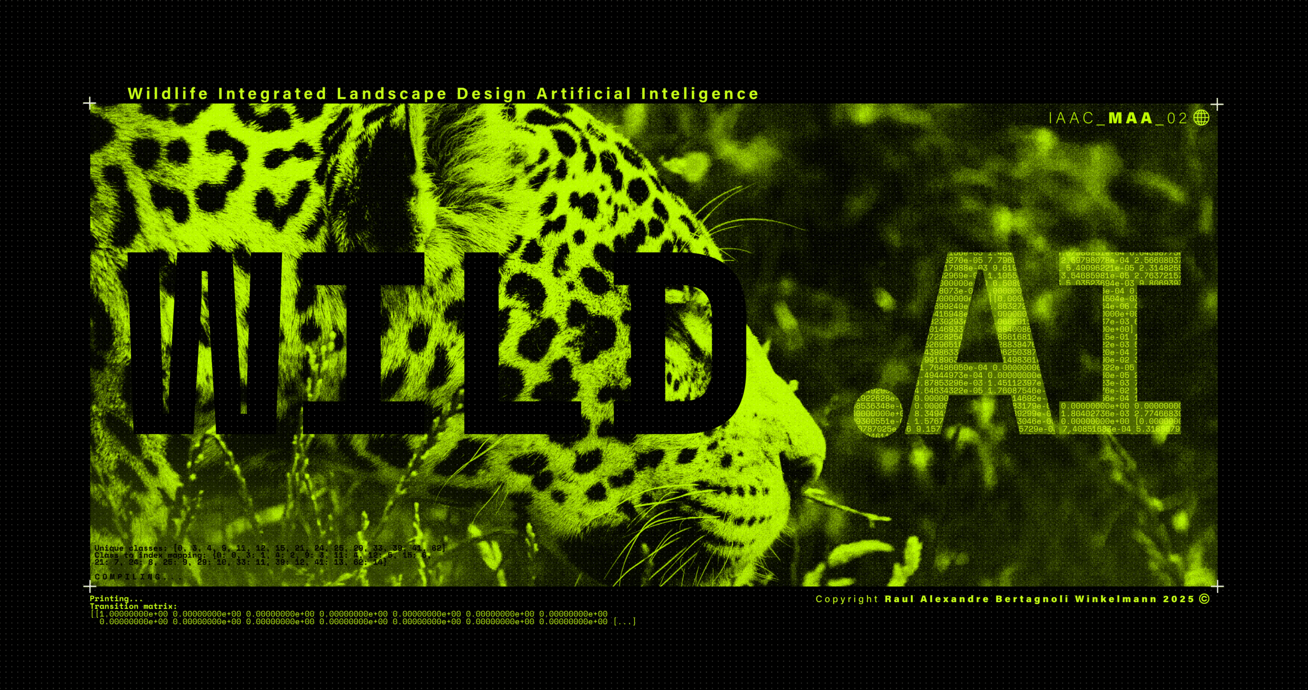
Wildlife Integrating Landscape Design Artificial Intelligence – WILD.AI — Term_III
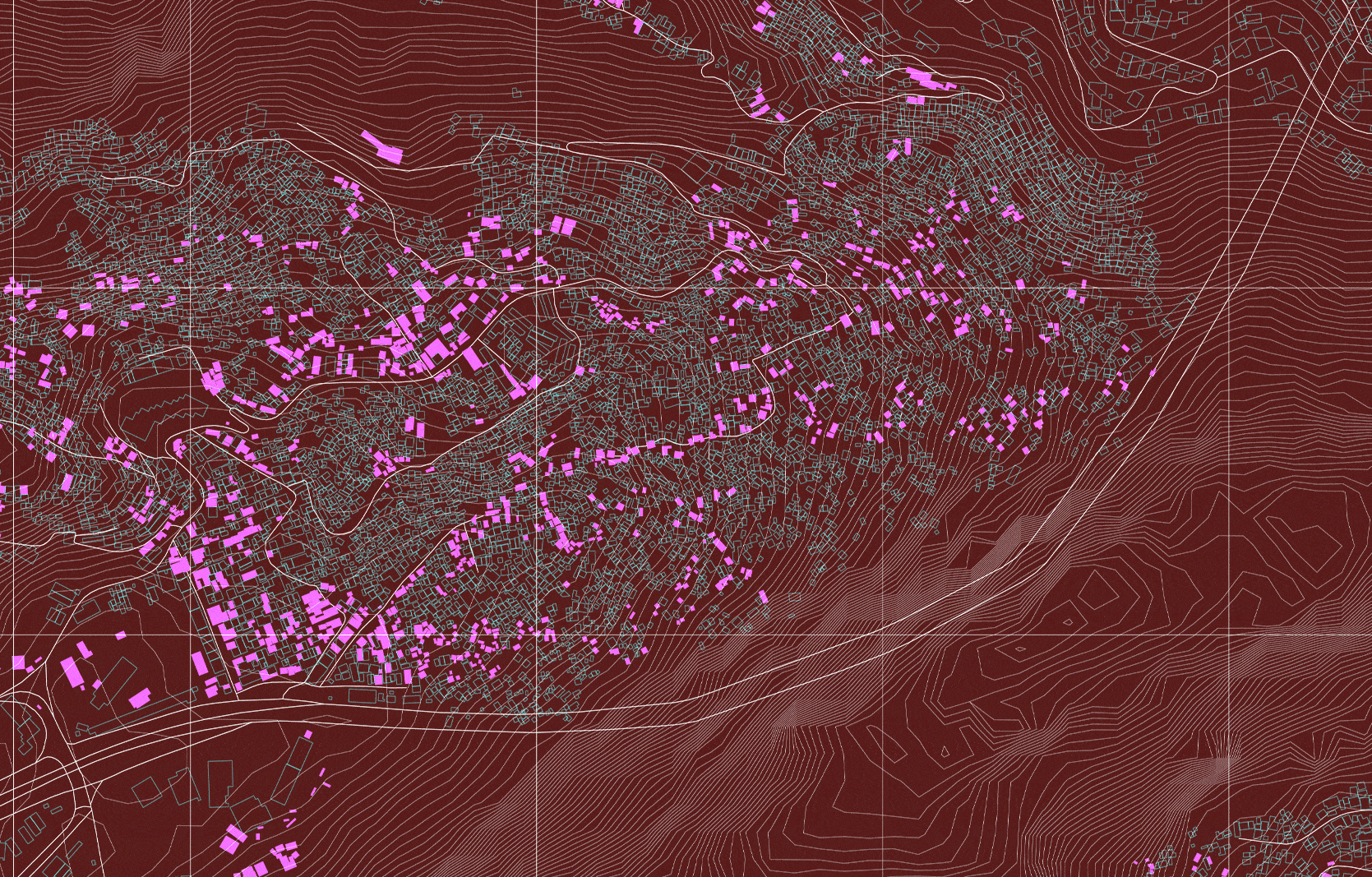
CONTEXT DYNAMICS METHODOLOGY ANALYSIS By subtracting different scenarios from one another: The differences start to become clear as to what areas are consisently lost vs what areas are inconsistently lost. The latter being the one where planners and ecologists should focus their efforts the most if aiming to potentialize action. The figure becomes even clearer … Read more