TÀN 58

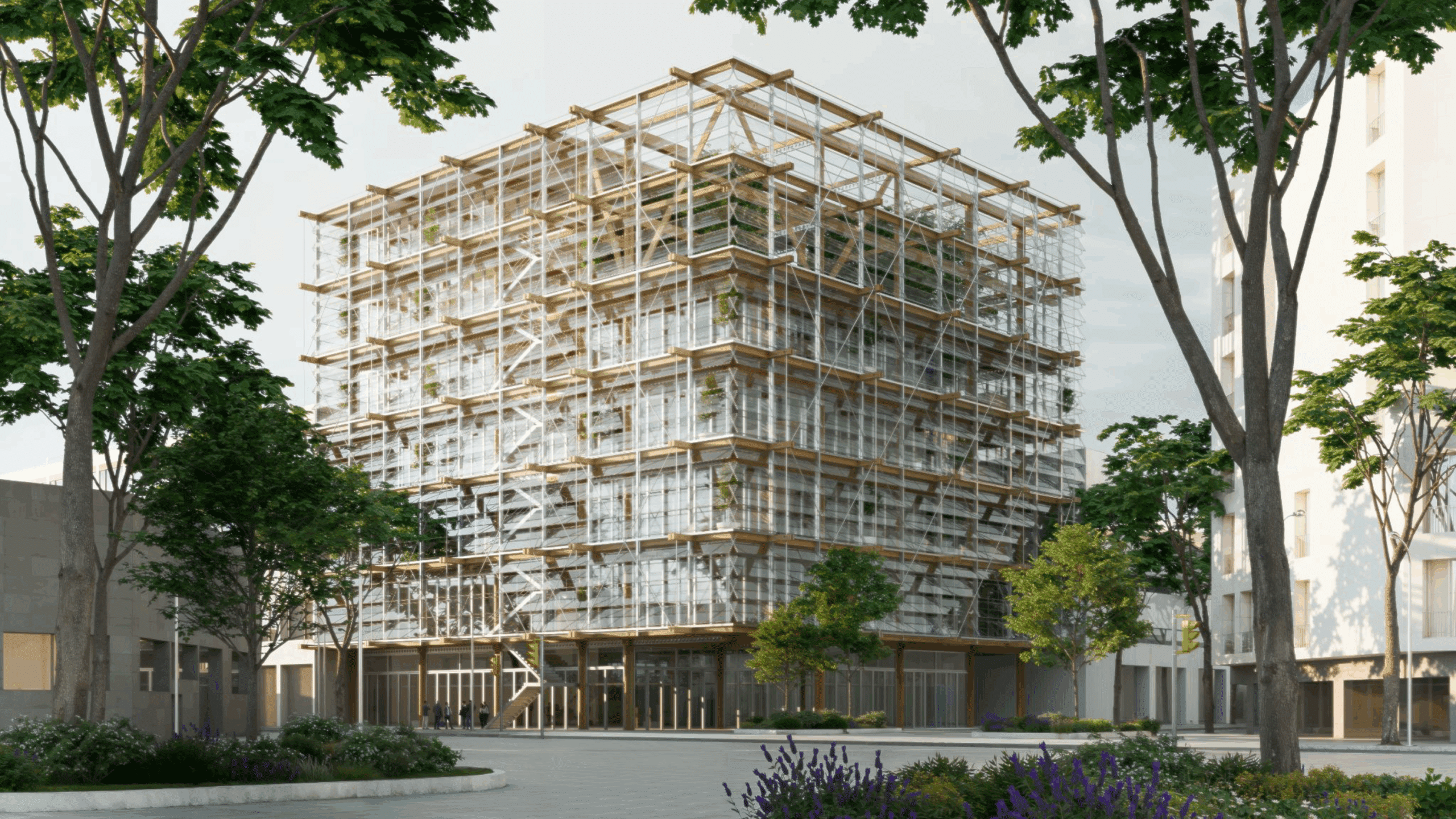
TÀN 58 is a seven-story student housing project located in Poblenou, an industrial district of Barcelona. The building’s form and orientation were shaped through computational studies that optimized daylight access and solar radiation across the site. This analysis led to the introduction of two central atriums, which act as vertical heat sources and organizational cores—spaces … Read more

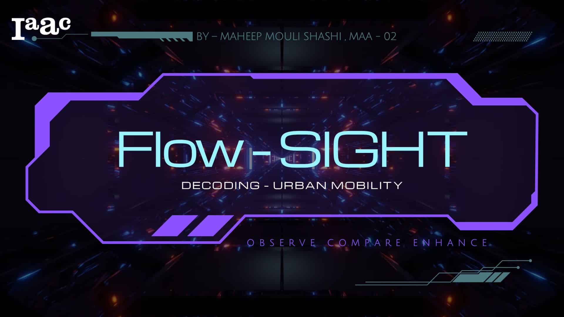
Flow – SIGHT: De- coding urban mobility

Introduction Urban traffic congestion is more than just an inconvenience—it’s a global challenge tied to pollution, stress, and wasted time. While cities are turning to AI-driven systems to ease the gridlock, the question remains: Do these technologies actually perform better than traditional methods?Flow – SIGHT is a comparative research project that investigates traffic systems across … Read more

Quito | in Transition

Quito is located in the north-central part of the Andean region of Ecuador, in south america. Given its high elevation, it is one of the highest capitals in the world. With a population of 1.9M people, it is the second-largest city of Ecuador. It is located in the province of Pichincha in the canton of … Read more

Jakarta

Jakarta’s rapid urbanization has outpaced the development of equitable mobility infrastructure, exacerbating safety disparities, particularly for low-income women navigating the city at night. While formal policies fall short, informal transport networks like Angkot fill critical gaps, despite exposing riders to physical and psychological risks. This study explores how machine learning can be used to fill … Read more

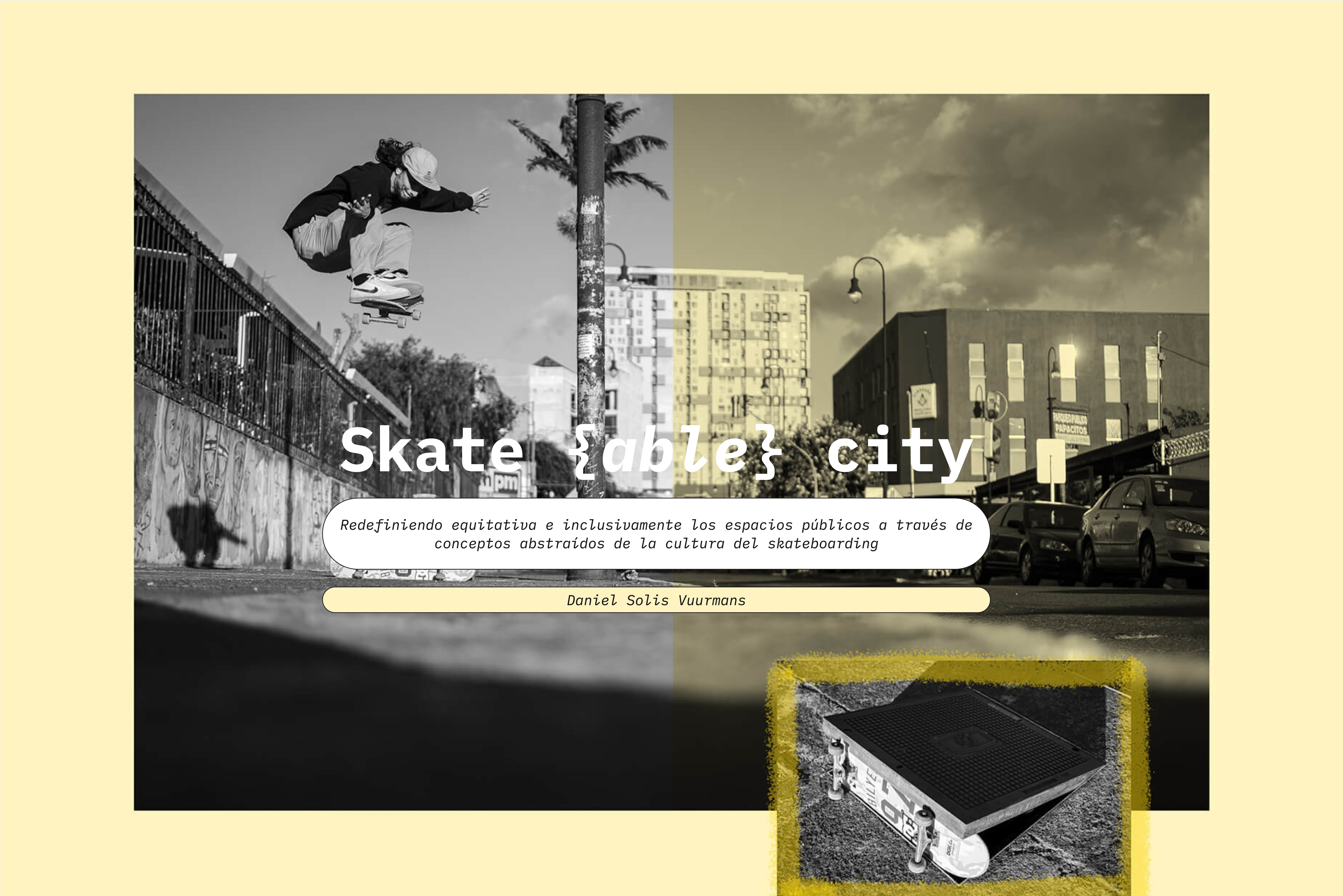
De Skate{able} city a Integr{able} city

Redefiniendo equitativa e inclusivamente los espacios públicos a través de la cultura del skateboarding INTRODUCCIÓNLos espacios públicos de nuestras ciudades están cada vez más diseñados de manera especializada, segmentando y creando bordes entre las actividades.  Esta investigación pretende hacer visible el potencial que tiene el skateboarding como actividad disruptiva y de performance en el espacio público para redefinir, reinterpretar y … Read more

Urban Vegetation Analysis Using Computer Vision and Deep Learning

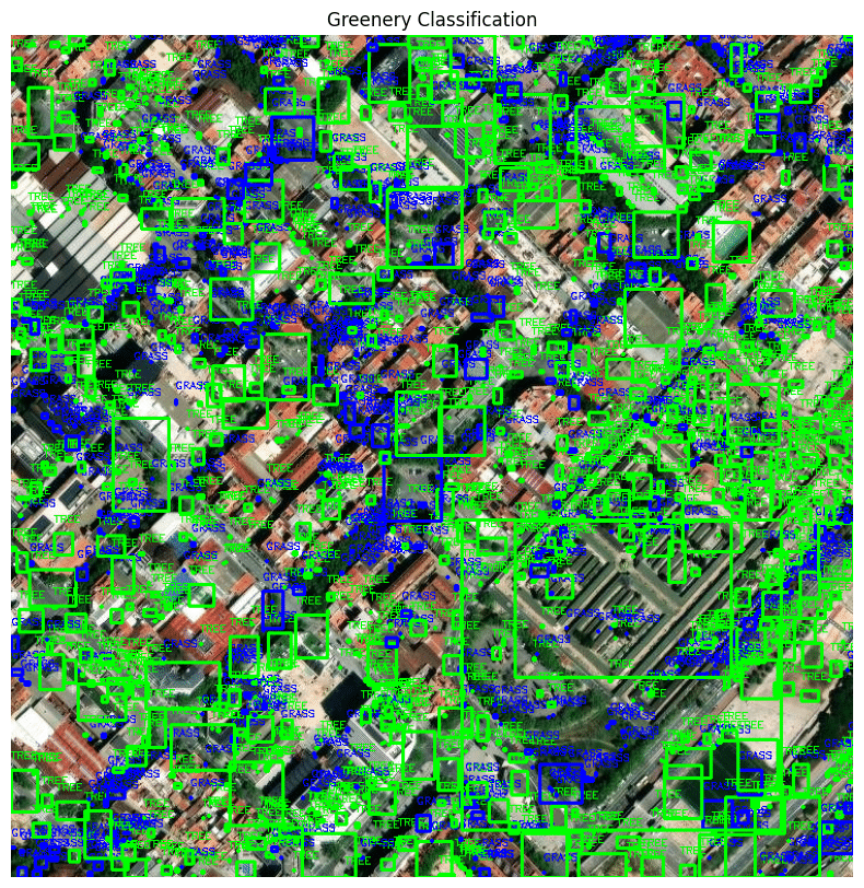
(PaintDumpster/environmental_data_workshop at ndvi) – Link to GitHub This project aims to detect and classify different types of greenery in satellite imagery by utilizing color and edge detection techniques. The study area is located in Barcelona, Spain (41.396536, 2.194554). The stable version employs color and edge detection for image segmentation, while an alternative method integrates LiDAR … Read more

Democratizing Credit: Diving Deeper

City

Diving deeper into building a reliable rating algorithm The Importance & Significance of the F&B establishments in the City Food and Beverage (F&B) service outlets are significant indicators of urban progress as they reflect evolving consumer preferences, economic vitality, and the integration of social spaces within urban landscapes. These establishments act as hubs for community … Read more

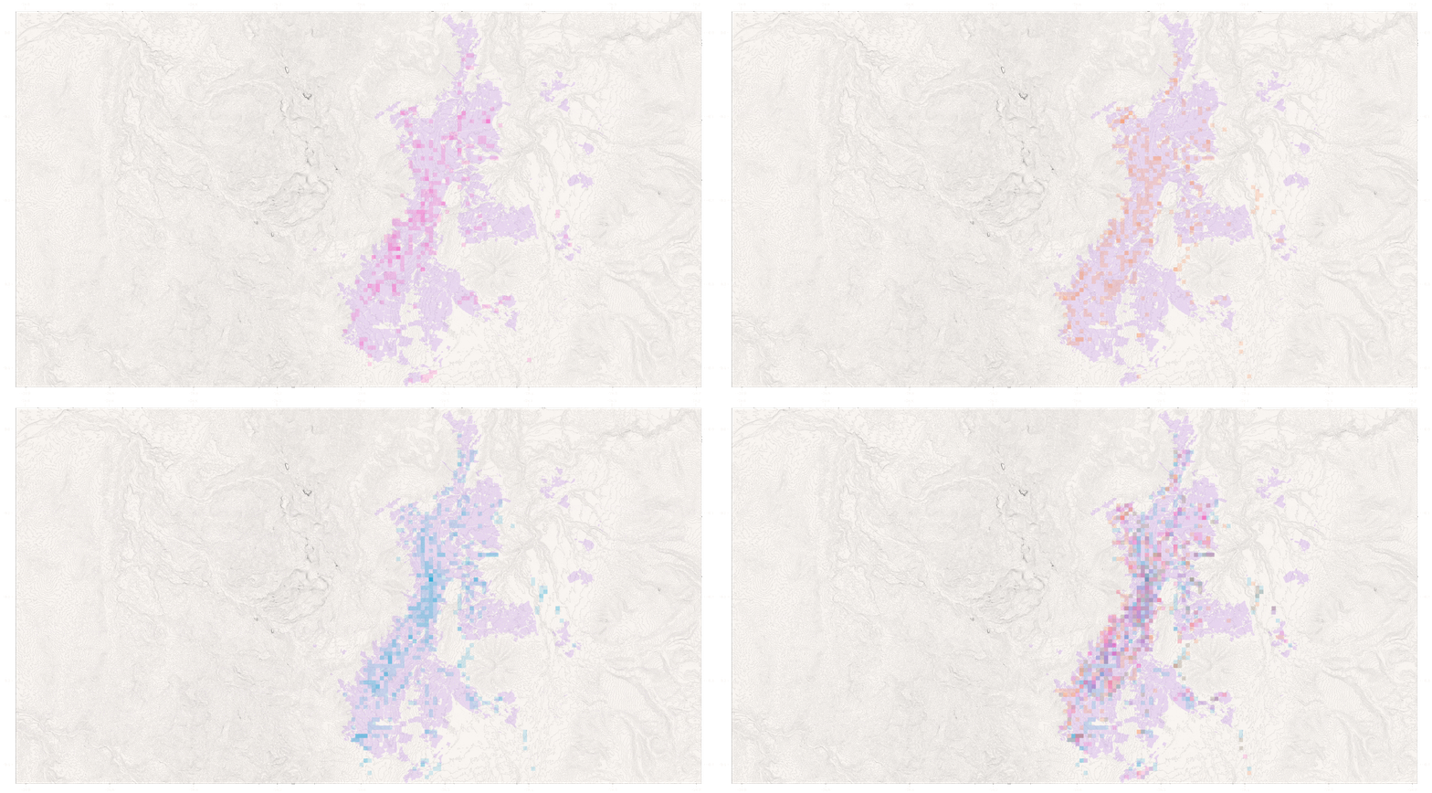
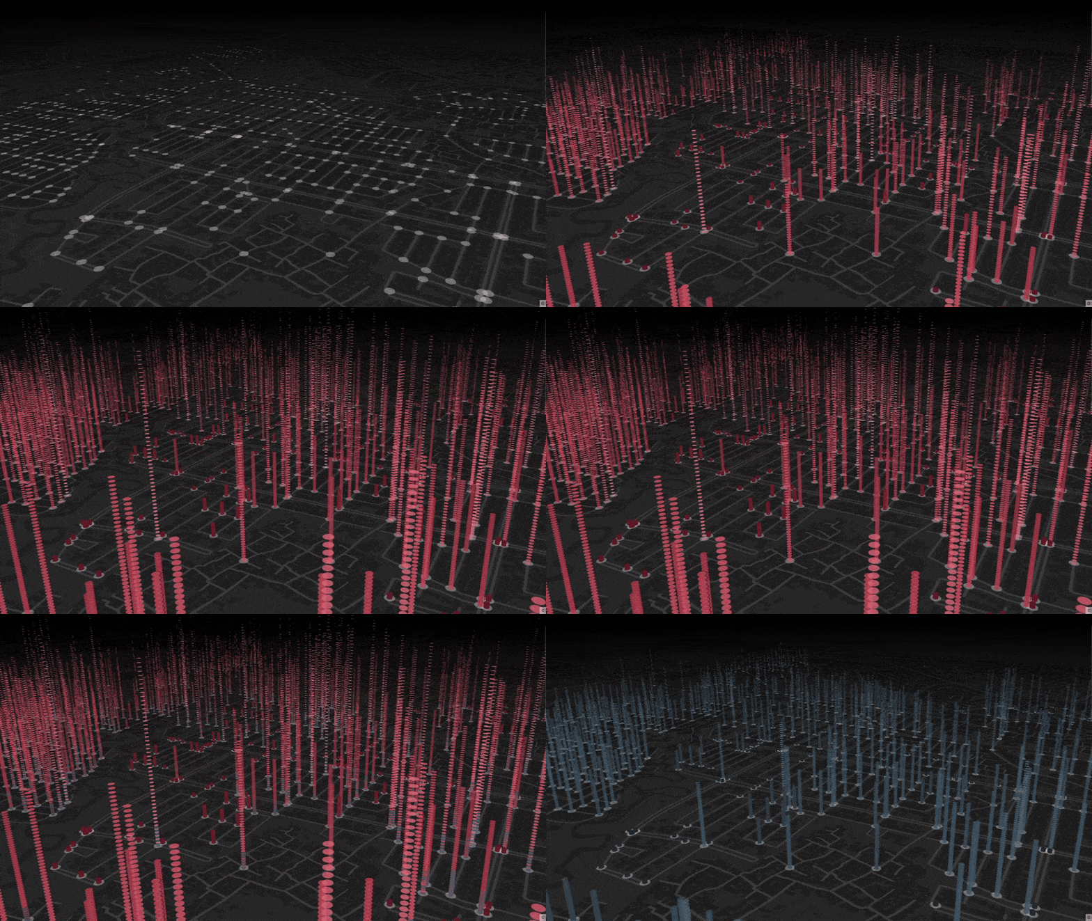
DECODING URBAN MOBILITY

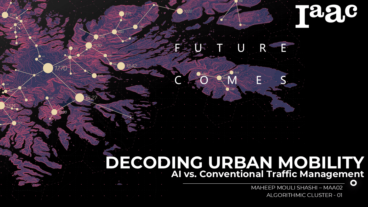
ABSTRACT; Decoding Urban Mobility: This project evaluates the impact of AI-driven traffic management versus conventional fixed-timing methods on urban congestion. It analyzes real-time and historical data—including traffic patterns, weather, demographics, and incident reports—from cities like London, Barcelona, and Los Angeles and compares machine learning models (e.g., LSTM, GRU, XGBoost) with traditional techniques. The study identifies … Read more

Panel.Weaver

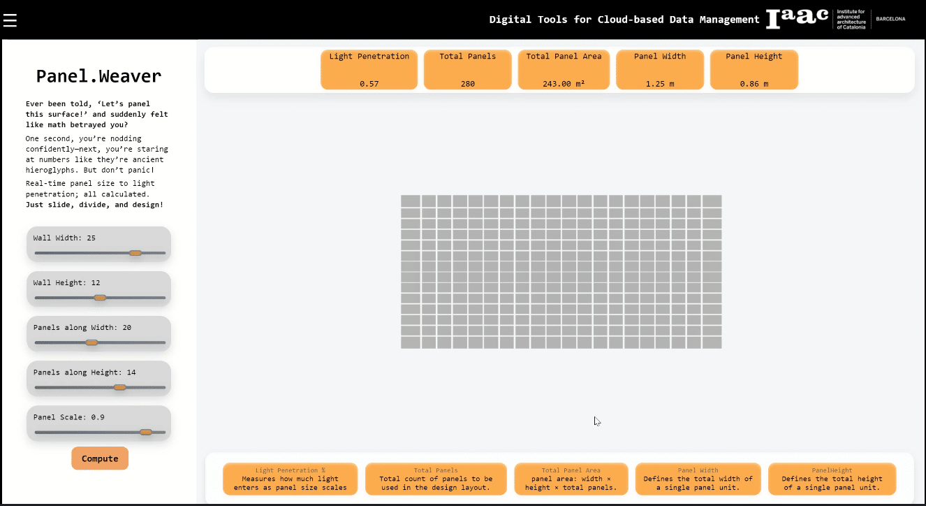
A Digital Tool for Seamless Surface Paneling Have you ever faced the daunting task of paneling a surface, only to get lost in a sea of calculations? Enter Panel.Weaver—a user-friendly digital tool designed to simplify panel-based surface design, making real-time calculations intuitive and accessible. What is Panel.Weaver? Panel.Weaver is a digital tool that allows designers … Read more

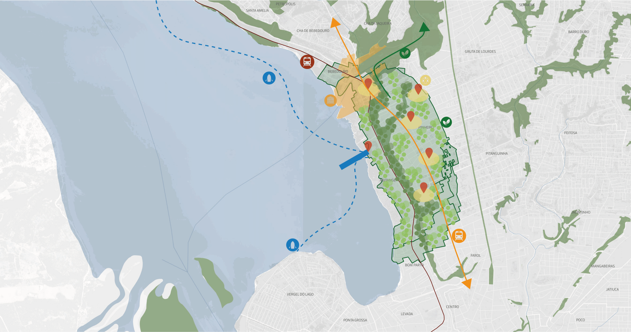
Maceió, La Tierra sobre Aguas

De la ruptura a la regeneración urbana a partir del rescate de conexiones históricas y ambientales Maria Luísa Machado Taller Concepto IaaC – MOeC – 2025 Resúmen Maceió, Alagoas, “la tierra que cubre el pantano”, nació de la unión de sus aguas, con sus primeros asentamientos vinculados a la Laguna Mundaú, el mar y las … Read more

Questioning ‘Mixed-Use’ Space

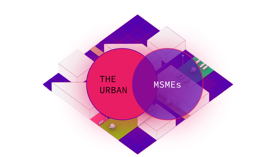
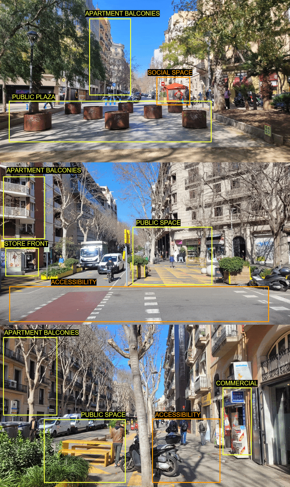
What defines a mixed-use space? How do we visually recognise the coexistence of residential, commercial, and public spaces in a city? Can AI perceive these complex urban conditions as we do? This workshop explores how Visual Language Models (VLMs) interact with urban imagery, using street view images to assess land-use patterns. By comparing Barcelona and … Read more

Container City

Developed as part of a Workshop hosted by IAAC and conducted by Buro Happold representatives, the project envisions the transformation of Barcelona’s Zona Franca waterfront into a mobility-driven, mixed-use district that balances industry, nature, and urban life. The master plan prioritizes seamless connectivity, enhancing public transport, pedestrian networks, and micromobility infrastructure to overcome the area’s … Read more

Stadium District

Perched at the top of Montjuïc hill, in the heart of the Sants-Montjuïc district, stands the Lluís Companys Olympic Stadium, a place where history, sport, and culture come together. From hosting the unforgettable 1992 Olympic Games to becoming a stage for world-class events, this stadium has witnessed some of the greatest moments in Barcelona’s history. … Read more

Apps4Citizens

logo

Barcelona, like many modern cities, experiences the Urban Heat Island (UHI) effect, where built-up areas retain more heat than surrounding natural landscapes. This interactive map visualizes temperature variations across the city, highlighting areas most affected by heat buildup. 🛰️ What This Map Shows: 📍 Heat Hotspots – Areas with high surface temperatures due to dense construction and limited … Read more

Design & Communication Interfaces _ BAT (Building Analysis Tool) Interface, Designing for the visually impaired, Enhancing Accessibility in Healthcare Architecture

In response to the increasing global population of visually impaired individuals, projected to reach 18.5% by 2050, our project focuses on enhancing the accessibility of architectural spaces, particularly in primary healthcare centers. We have developed the Building Analysis Tool (BAT), an solution designed to assist architects in creating environments that cater to the needs of … Read more