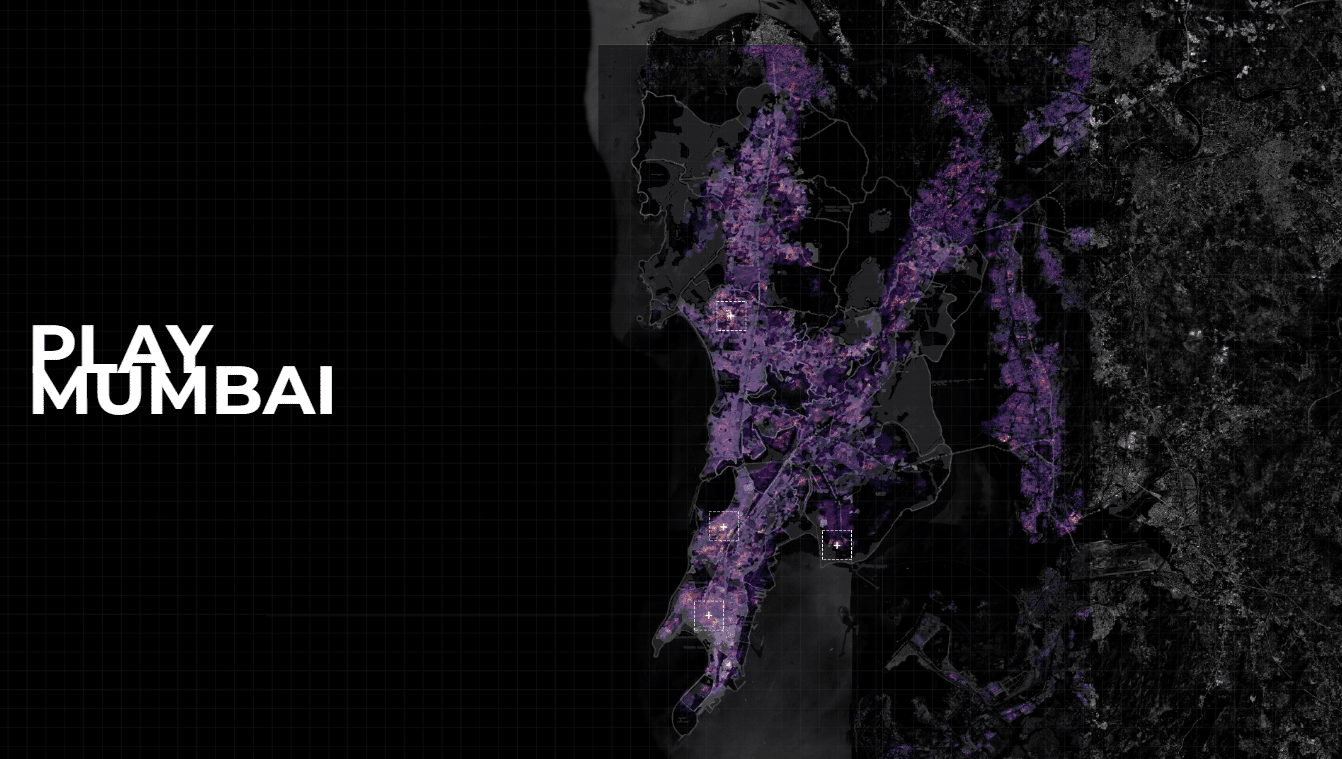
Interactive Block-Based Structural Generation and Analysis Tool

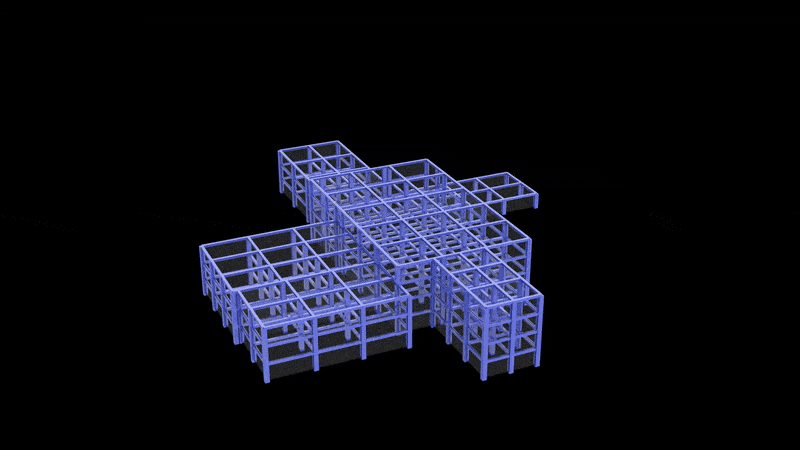
In contemporary architectural practice, the gap between conceptual design and structural analysis often leads to delays, miscommunication, and inefficient iteration cycles. This project proposes an integrated workflow that bridges this divide by creating an interactive interface where architects can receive real-time structural feedback while scanning their preliminary physical model. By combining Unity-based visualization, QR code-enabled … Read more

DRDA- Dynamic Robotic Design Activities

ABSTRACT Autonomous parametric furniture assembly using modular blocks and ROS-driven industrial robots promises to revolutionize on-demand manufacturing. In this work, we introduce DRDA (Dynamic Robotic Design Activities), a unified framework that seamlessly links customer-driven design to autonomous multi-robot execution. A user-defined geometry and style, which our custom block-selection and toolpath-generation engine converts into collision-free pick-and-place … Read more

Reclaiming Public [Space] – the decolonial future through the ideologies of the First Nations people of Australia. 

About This project investigates how colonial patterns of urban design in Footscray have historically shaped and continue to shape the experiences of mobility, vulnerability, and belonging among First Nations people. By tracing the spatial legacies of dispossession and infrastructural violence, the work critically maps how extractive logics have severed Indigenous connections to place. In response, … Read more

Woman & Water in Rundu: a mobility justice framework

Ndama, the fastest-growing informal settlement in Rundu, Namibia, faces critical challenges in water accessibility shaped by gender, age, income, and spatial isolation. With women disproportionately responsible for water collection under unsafe and inequitable conditions, our study combines interviews and spatial data to map intersectional vulnerabilities. We developed an interactive tool that simulates real-world constraints—heat, crime, … Read more

SYNTHETIC AI AGENT SURVEY SIMULATION

Safety Perception in Jakarta Why Simulate Perception in Urban Spaces? In the realm of smart city design and urban analytics, one of the most nuanced yet underexplored datasets is perceived safety. This perception isn’t easily quantifiable, yet it critically influences how public spaces are used, trusted, or avoided. Traditional surveys are the go-to method for … Read more

Caminando Por Mi Barrio: participación, juego y derecho al espacio público.

¿Cómo se habita una ciudad cuando no te preguntan cómo debería ser? Este proyecto explora nuevas formas de participación urbana desde el cuerpo, el cuidado y la imaginación. Caminando por mi barrio es una herramienta lúdica que surge como respuesta a una ciudad segregada, insegura y diseñada sin nosotras. Aquí comparto los avances de esta … Read more

HOSTILE

Architectural Alienation In a world that is rapidly urbanizing itself, architecture holds immense power to shape the lives of individuals and how they experience the public space. Yet, architectural design often neglects the various needs of the community it is supposed to serve, leading to alienation and exclusion, particularly for marginalized populations. – 1.1.Hostile design  … Read more

Valldaura D&D Kit

Dungeons & Dragons (D&D) is a tabletop role-playing game where players create characters and embark on adventures guided by a Dungeon Master. Through storytelling, strategy, and dice rolls, players explore worlds, battle foes, and solve challenges in an open-ended, cooperative experience. The game is played using polyhedral dices, character sheets, and often miniatures on gridded … Read more

GG WORLDS [v.01]

GenAI for Game Environment Creation OverviewUrban environments in games play a crucial role in crafting immersive, dynamic worlds that captivate players and enhance storytelling. These settings not only shape the game’s atmosphere but also introduce strategic challenges and reflect cultural, social, and architectural identities, making virtual spaces feel authentic. However, creating high-quality, realistic game environments … Read more

Cesium: Visualizing the World in Unity

Creating a Visual Medium for the Visualization of Urban Data Using Cesium in Unity Engine for Geospatial VisualizationCesium for Unity bridges 3D geospatial data with Unity’s real-time development environment, enabling developers to create immersive, real-world simulations and applications. By integrating high-accuracy global datasets, 3D Tiles, and dynamic data feeds, it provides a robust framework for … Read more

Landscape as a Climate Catalyst

Climate Hope, Regenerative Agriculture and Soil Restoration Up to 40% of the world’s land is degraded Poor land management and conventional agricultural practices have degraded soils, reducing their ability to store carbon and absorb water, accelerating climate change and threatening food systems. Soils store 3x more carbon than the atmosphere, but 50-70% of their natural … Read more