HOSTILE
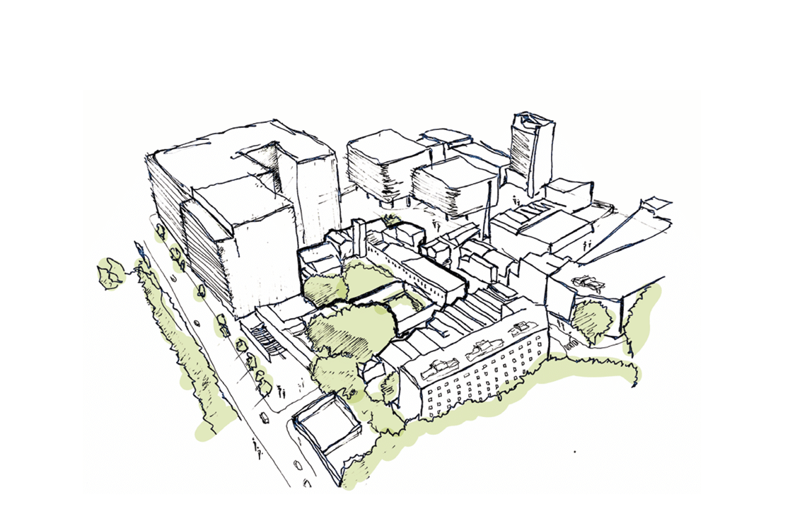
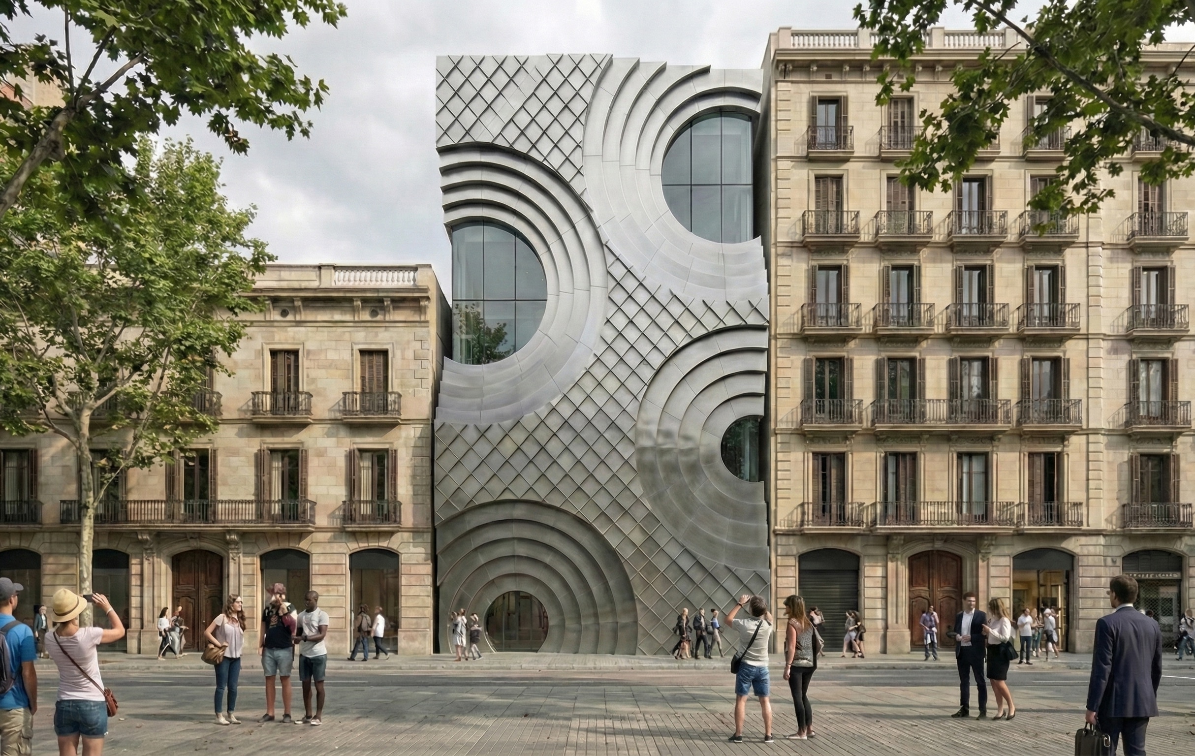
Architectural Alienation In a world that is rapidly urbanizing itself, architecture holds immense power to shape the lives of individuals and how they experience the public space. Yet, architectural design often neglects the various needs of the community it is supposed to serve, leading to alienation and exclusion, particularly for marginalized populations. – 1.1.Hostile design … Read more
From Above the Acropolis: Satellite Analysis of Vegetation and Urban Heat in Athens
The project is situated in Athens, Greece, which overheats in the summer. We wanted to test a hypothesis: The overheating is the result of too much hardscaping (asphalt, concrete, brick) and not enough greenery. We wanted to compare the NDVI (a measure of greenery in a city) taken from Satellite images to Land Surface Temperature … Read more
Urban Layers
Tracking Morphological Evolution Over Time Urbanization and Vegetation Change Analysis Using Satellite Data Introduction Satellite imagery provides a powerful view of Earth’s surface, but to the naked eye, changes like urban growth and vegetation loss are not always obvious over time.Colors and features can look deceptively similar, making it difficult to accurately assess land cover … Read more
Flood Impact Mapping along the Turia River, València – Flood of 2024
When torrential rain dumped an entire year’s worth of water on Valencia in barely eight hours on 29 October 2024, the Turia spilled over its banks, submerging citrus groves, highways and whole neighbourhoods. More than 200 lives were lost, hundreds remained missing and Spain faced its worst flood disaster in recent history. Events like this … Read more
GG WORLDS [v.01]
GenAI for Game Environment Creation OverviewUrban environments in games play a crucial role in crafting immersive, dynamic worlds that captivate players and enhance storytelling. These settings not only shape the game’s atmosphere but also introduce strategic challenges and reflect cultural, social, and architectural identities, making virtual spaces feel authentic. However, creating high-quality, realistic game environments … Read more
Topographical Risk + Geomorphology
Understanding the complexity of urban flooding Across the globe, cities are facing the increasingly visible consequences of climate change, with floods and landslides ranking among the most destructive urban hazards. In Brazil, the city of Petrópolis offers a critical lens through which to study the layered vulnerabilities of urban settlements exposed to extreme rainfall, unstable … Read more
TOWARDS ENERGY JUSTICE IN INFORMAL SETTLEMENTS Vol II
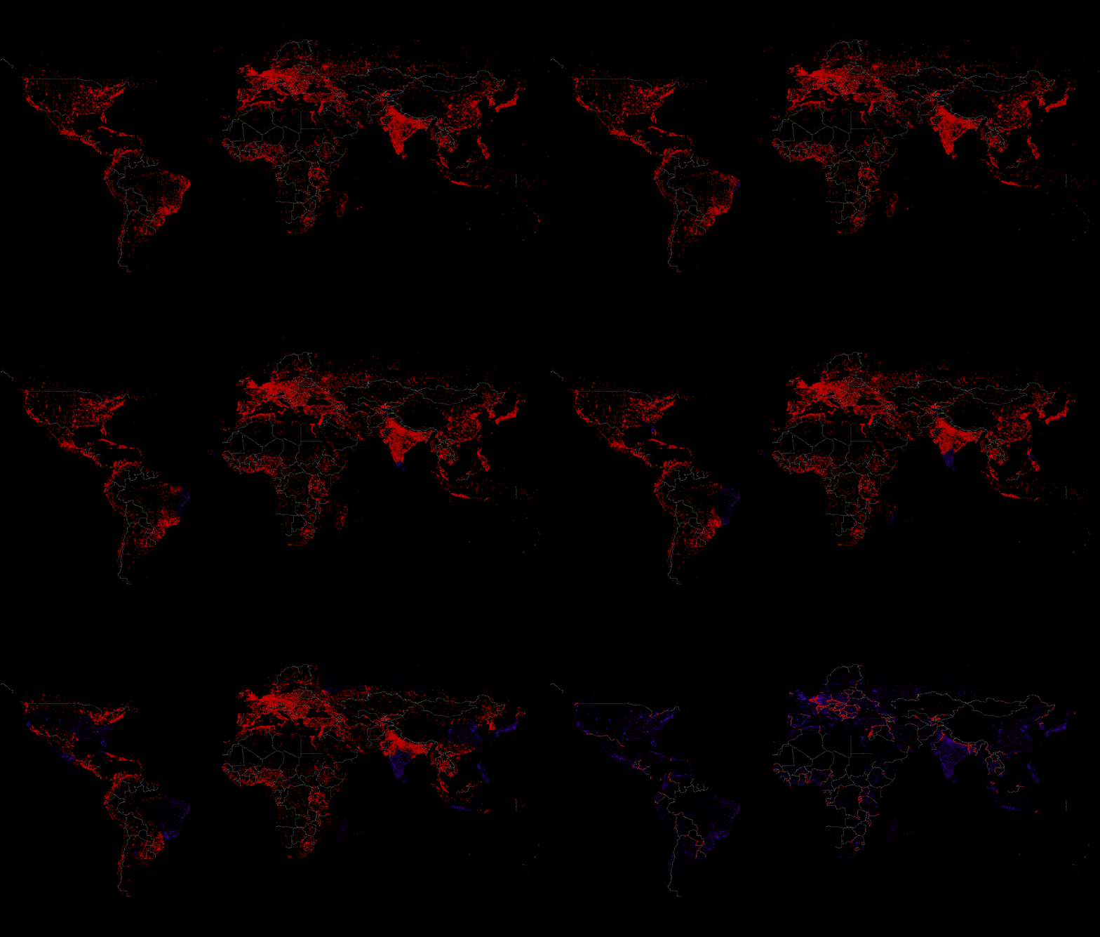
A Methodological Approach to Urban Morphology and Hybrid Energy Systems in the Global South Project Statement: “Even as we advance in Energy Innovation, our cities continueto grapple with deep inequalities. In this research, I proposerethinking Urban Morphology—not merely as the physicalform of our settlements, but as a strategic lever for equitableenergy solutions. The conceptual Energy-Morphology … Read more
CONVEA
USING CORK AS A DELINEATOR OF INTERNAL CLIMATIC PROGRAMS a. initial machine phenomena studies b. first iteration of phenomena recreated c. second iteration of phenomena model on column site d. photographs of second iteration
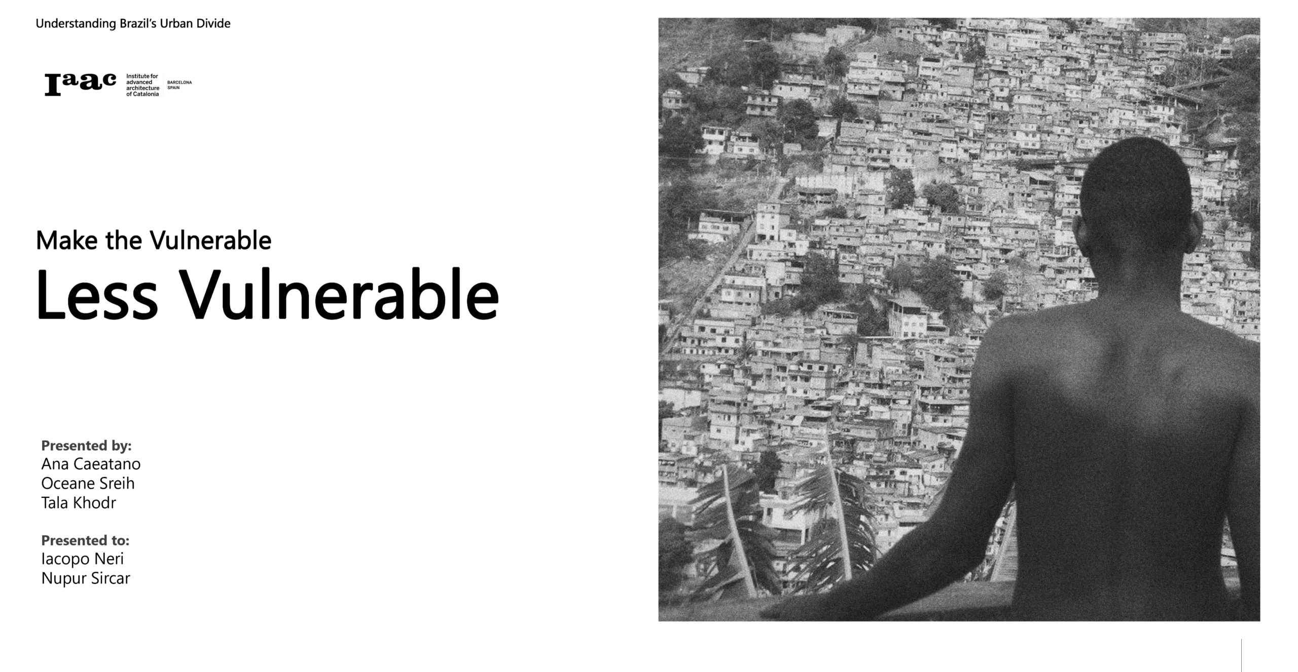
Re Rio: Infrastructure Justice
What is Infrastructure Justice? Rio’s Context State of the Art Rio Maps Sao Goncalo Proposal Thank you!
Urbanism Around Landslides: A Remote Sensing Approach
The Landscape of Risk India has witnessed 3782 major landslides between 2015–2022.Regions like Himachal Pradesh, Uttarakhand, Kerala, and the North-East are especially vulnerable. Landslides disrupt cities, block roads, damage homes — and in some cases, like Wayanad in 2024, result in loss of lives and millions in damages. The Research Question How can remote sensing … Read more
VISUALISING VISIBILITY OF WOMEN+ SAFETY
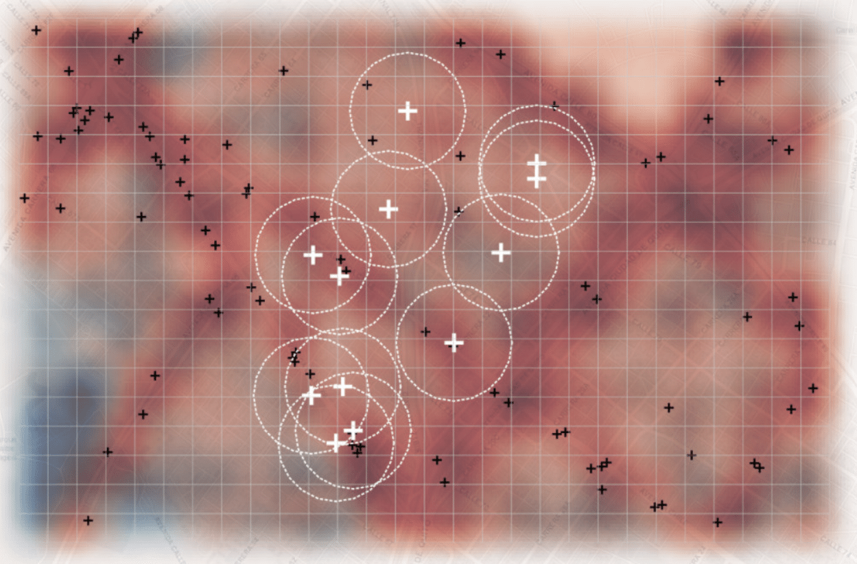
Overview Visualizing Visibility of Women+ Safety is a research initiative aimed at evaluating how the design of public spaces influences perceptions of safety for women+ in India, particularly in Delhi. The central question driving this study is: “How can we assess the current paradigms of urban design to better understand and improve perceptions of safety … Read more
Democratizing Credit: Diving Deeper
Diving deeper into building a reliable rating algorithm The Importance & Significance of the F&B establishments in the City Food and Beverage (F&B) service outlets are significant indicators of urban progress as they reflect evolving consumer preferences, economic vitality, and the integration of social spaces within urban landscapes. These establishments act as hubs for community … Read more
SecondMatter
SecondMatter challenges architecture’s extractive processes and wasteful material cycles by upcycling Construction Demolition Renovation Waste (CDRW) into structural and non-structural applications. It blends ramming, which compacts granular materials into high-strength forms, with jamming-inspired interlocking of irregular aggregates. Large concrete waste pieces form a reinforced core, wrapped in a rammed mix of fine brick and concrete … Read more
FLOOD RESILIENCE TOOLBOX
Flood Resilience Toolbox: AI-Powered Solutions for a Sustainable Future Flooding is the most frequent and costly natural disaster worldwide, with annual damages exceeding €38 billion. By 2050, this figure could rise to $64 billion, impacting millions of lives. Coastal cities, particularly in Southeast Asia, are at high risk due to rapid urbanization, sinking land, and … Read more