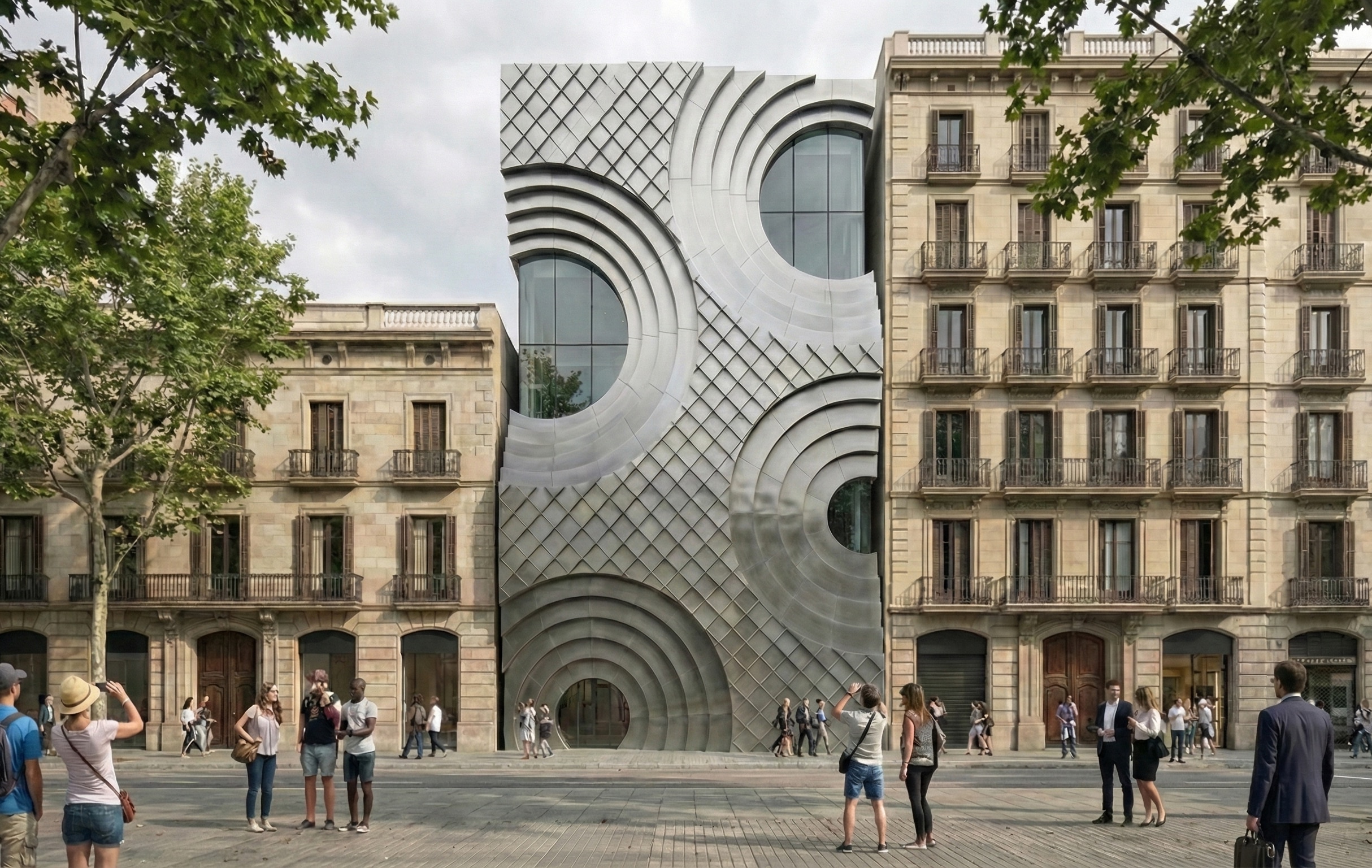
Anatomy of a Machine: Stroke

Introduction This project investigates the dialogue between human gesture and robotic motion through painting. Over three weeks, students study brush behavior, paint flow, and stroke dynamics, beginning manually and progressively translating gestures into robotic trajectories. The final outcome is an A2 robot-made painting, accompanied by a vectorial drawing and a 60-second video, reflecting the anatomy … Read more

CoolStreets Lab

PROBLEM SOLUTION CoolStreets Lab provides scalable, practical micro-scale heat-risk maps that help cities identify where to cool, shade, and protect their most vulnerable areas. COMPETITION BUSINESS MODEL Target Customers Business Model Early Validation Expert Interviews Key Insight Municipality Feedback Unit Economics TEAM FUNDING NEED WHAT THIS COVERS WHY THIS AMOUNT This is the minimum budget … Read more

Voices from the basement

Acoustics is the field of physics studying the mechanics of waves such as vibrations, sounds, ultra- and infra-sounds. Room acoustics is a sub-branch focusing on the behavior of sound in a room. The following diagrams showcase the acoustics reflection from the ceiling of the Valldaura lab basement. In both drawings, the initial sound is initialized … Read more

Axisential Fabrications

Architecture is entering a moment where the boundaries between design, technology, and material production are dissolving. As cities demand faster construction, customized spaces, and environmentally intelligent solutions, traditional methods alone no longer match the pace or precision required. Digital fabrication has emerged not just as a complementary tool, but as a transformative force reshaping how … Read more

Cities in Pixels: Mapping, Moving, and Meaning in the Digital Era

In the age of digital urbanism, cities are no longer understood only through streets, buildings, or neighbourhoods—they are interpreted, navigated, and governed through layers of pixels, data points, and algorithmic models. Our visualization project, Cities in Pixels: Mapping, Moving and Meaning in the Digital Era, examines this transformation using Geographic Information Systems (GIS) as its … Read more

Silent Light

Introduction to Programming and Physical Computing Seminar Faculty: Daniel Mateos, Adai Suriñach, Antoine Jaunard Group Members: Amalia Anna Korgiala, Camilo Hernán Contreras Concept The project aims to design a sensor that can work with light or sound sensors, inspired by a library luminaire. The sensor can be placed in various areas and scales, such as … Read more

Hoarder.data

Problem Tersa is a public company that runs a waste incineration plant in Sant Adrià del Besòs, serving much of the Barcelona metropolitan area. Over the years, local associations and residents have raised concerns that the plant may exceed emissions limits of toxic substances and caused pollution. Despite all the concerns, the investigating judge archived … Read more

The ClimaColour Code

Abstract Environmental conditions are more often than not invisible and something that is felt rather than visually perceivable. The ClimaCode provides our spatial surroundings with their own language that enables them to better communicate with us as humans.  By translating climatic conditions, such as temperature and humidity, into light, the device communicates its climatic ‘mood’ … Read more

Cymat-E

CONCEPT Cymat-E explores the concept of an acoustic radar, a device that can detect and visualize the ideal audible range, or the distance where sound is heard most clearly and comfortably. The idea takes inspiration from how radar systems map physical space, but instead, we are mapping sound space. Using microphones and sound analysis, the … Read more

Andromeda

Andromeda

Andromeda is a Rhino-native copilot that turns briefs, context, and massing into a single, interpretable graph so designers can enrich masterplans, evaluate KPIs, and bake results back to Rhino, without leaving their workflow. Built for early-stage masterplanning, it aims to raise social value, connectivity, accessibility, and overall urban quality by unifying data, guiding program allocation, … Read more

EcoNodes

EcoNodes is an AI-driven urban planning platform designed to identify and prioritize the city’s most heat-stressed and impervious junctions for strategic green interventions. By combining satellite imagery, street view segmentation, and environmental datasets, EcoNodes highlights the urban nodes that lack vegetation, suffer from poor air flow, or trap excessive heat. The tool empowers planners to … Read more

Spatial Data to Economic Intelligence

Using Street View and Remote Sensing methods to infer ground level socio-economic realities The Challenge: The Urban Data Blind Spot Urban economies are dynamic, fast-evolving systems—but the data used to understand them is often static, delayed, or incomplete. In many cities, a significant share of economic activity unfolds beyond the reach of traditional measurement frameworks, … Read more

TÀN 58

TÀN 58 is a seven-story student housing project located in Poblenou, an industrial district of Barcelona. The building’s form and orientation were shaped through computational studies that optimized daylight access and solar radiation across the site. This analysis led to the introduction of two central atriums, which act as vertical heat sources and organizational cores—spaces … Read more