Alfafa Colony: BIM & Smart Construction

Project Concept Establishing a Martian food colony around a Mohole, designed based on growth morphology of alfalfa for efficient organization and development using L-systems. These terminologies are further explained below. Moholes Moholes on Mars are massive cylindrical excavations in the regolith, reaching up to 1 km in diameter and 7 km in depth. With temperatures … Read more

‘ATTRACT•DEVELOP•KEEP’

Tackling the Internet of People through Fortifying & Diversifying the economy in Viladecans, Spain Introduction Viladecans is a dynamic and thriving municipality with a rich history, diverse economy, and vibrant community life. Its strategic location, economic opportunities, and quality of life make it an attractive place to live, work, and visit in the Barcelona metropolitan … Read more

“Parque de la Autoconstrucción para la Paz en ciudad de San José de Costa Rica. “

“Architecture is Not the Knowledge of Form but a Form of Knowledge.” -TSCHUMI Antes de iniciar en el difícil talento de puntualizar, me veo obligado a preceder una serie de importantes aspectos. Explico lo que explicaré. El presente texto, ilustra una serie de pequeñas intervenciones para el manejo de residuos sólidos urbanos y exploración de … Read more

Ant Hill Colony – Collaborative Workflow

Our collaborative workflow started through identifying our site location on the federate model which at the beginning, to align with our supporting program “Spiritual,” we chose our site at the top of the hill, where we can explore both elevation and subtractive models. Here is our early collaborative process workplan where we envision that our … Read more

Cosmos Cultivated

Building Agricultural Abundance on Mars The Mars underground sanctuary residential complex envelops vertical farming beneath its protective skin and 3D-printed wall system, where sunlight delicately filters through, embracing the celestial surroundings and meticulously crafting a breathtaking habitat on the Martian surface. 01_design concept & reference The initial endeavor aimed to pioneer the voxel settlement concept, … Read more

Integrative Ant Hill Colony

Our group project is Ant Hill Colony on Mars, which has both above/below ground elements and underground heart, tunnels and pods. The project concept derived from “learning from ant colony,” therefore, the geometry shapes were more organic and natural. Originally, we recreated this by starting with LiDAR technology to identify the soil characteristics, then applying … Read more

Red de Sistemas de Circuitos Terapéuticos para la Movilidad Autónoma

Como una de las estrategias de Intervención de los Espacios Accesibles Universales Autónomos. “Red de circuitos de Espacios Accesibles Universales Autónomos, para la recuperación de Espacios Públicos en la comuna de La Florida, Chile” ¿Qué pueden aportar para la recuperación de los espacios públicos, las personas que se les denomina con Movilidad Reducida o con … Read more

VeloVerd La Verneda: Urban Synthesis

Incorporating the principles of Industry 4.0, our architectural project redefines urban living by seamlessly integrating sustainable design strategies with advanced manufacturing techniques. With a focus on promoting bicycle culture and health, our industry manufactures bikes. In this module, we synthesised the previous modules into a holistic design. The design principles from thermodynamics, exosystemic structures, metabolic … Read more

VirtuPaint

In the world of home improvement, painting is a powerful way to transform any space. Yet, the journey from envisioning to executing a painting project can be filled with uncertainty—from choosing the right colors to calculating costs and materials needed. This is where VirtuPaint comes into play, simplifying the planning process with precision and creativity. … Read more

Estrategias de Resiliencia Hídrica (Zona Metropolitana Tijuana, Mx)

Fuente propia

Como dice el dicho: “Agua que no has de beber, déjala correr”pero… habrá que marcar una diferencia en el “¿cómo la bebemos (usamos)?¿cómo la dejamos correr (regresamos) de manera adecuada?” En una región metropolitana ubicada entre las ciudades espejo de Tijuana y San Diego, se manifiesta una problemática marcada por la explotación industrial de recursos … Read more

Soundscape

Crafting Tranquil Spaces with Acoustic Walls Within this digital realm of sound innovation, The app ” Soundscape ” provides users to craft tranquil spaces, leveraging the pivotal role of acoustic walls as the architects of tranquility. In spaces like home piano rooms, users can tailor every aspect of the acoustic landscape to create harmonious and … Read more

Genius Loci

View some of the collected data here: Street Types and Property Information Genius Loci was inspired by the work the of Sarah Williams in her book ‘Data action – Using data for public good’. In today’s data-driven world, the use of data has become increasingly pervasive, shaping various aspects of our lives from policymaking to … Read more

ReWeave 2.0

The Context Aim State Of The Art The Workflow System Architecture Robotic Cell Scanning – Robotic cell Scanning Nesting – Initial Experiments Nesting Custom logic Iteration A Nesting Custom logic Iteration B Binder – Geopolymer with alkaline activators –  Sodium silicate Binder – Geopolymer with alkaline activators –  Sodium silicate and Sodium hydroxide Binder – … Read more

Agent Simulation_Measuring Intervention Impact

Visualizing an urban simulation of free-agents affected by a specific intervention The Objective The objective of the project was to simulate the movement of people within a specific neighborhood in the city of Viladecans, Spain, and visualize the difference the movement patterns of the free agents would take prior to the intervention vs post intervention. … Read more

GrBuff – Giving Green Spaces Back

Initial Sketch Idea To develop an interface which allows users to visualize the co-relation of green spaces within the buffer zones of building design. The distance of the building from the boundaries will determine how high the built plot will be and it will suggest the number of floors and wall height dynamically on the … Read more

Espacios vacantes en la Ciudad Próxima

A partir del avance tecnológico y las nuevas formas de movilidad, la ciudad se encuentra disponibilizando espacios que quedarán vacantes en el corto, mediano y largo plazo. Ejemplos de estos son las estaciones de servicio, cajeros automáticos, garajes comerciales, shopping malls, kioscos de diarios y revistas, entre otros. Con este contexto, el interrogante que surge … Read more

Urban Impact Analyzer

In the dynamic landscape of urbanization, migration towards cities is an undeniable trend. With this migration comes a myriad of challenges, notably the exponential rise in land costs and the often haphazard nature of urban development. As cities expand, there’s a pressing need for thoughtful and strategic construction that not only addresses the demands of … Read more

MUNICIPIO DE MASAYA/ TERRITORIO SOCIO- PRODUCTIVO. Bioeconomía, Paisaje productivo y Gobernanza multinivel.

Nicaragua, considerado uno de los países más pobres de América Latina, basa su pequeña economía en la industria liviana, los servicios y la agricultura; beneficiándose de la inversión extranjera directa y las remesas. Se contabiliza entonces que el 64.5% de la población trabaja en agricultura y la contribución al PIB de dicho sector es del … Read more

Theories of the Urban_II

Questioning the rhetoric. The brief In the epoch of the Anthropocene, characterized by humanity’s profound impact on the Earth’s geology and ecosystems, the discourse surrounding resilience to climate change has become increasingly prominent. As societies grapple with the consequences of human-induced environmental transformations, there is a growing recognition of the need to question and analyze … Read more

Aquamines

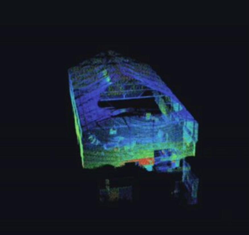
Translating Point Clouds into BIM Geometry For the first settlers on Mars, we have envisioned a colony of Aqua-Miners with the primary task of harvesting water as a resource from the ice beneath Mars’ surface, storing it and recycling it for sustainable use. Our approach to this problem has been exceptionally data-driven. Our idea is … Read more

EVALUATE

Evaluate is an App that helps Investors and Planers to position their building on an uploaded Terrain, and visualize its Setbacks and Feasibility in terms of cost and total floor area. By automating this simple process, one can evaluate any building Plot simply by having its terrain, instantly and without bothering with checking specific Area … Read more

Darien: Closing the data Gap

Imagine a massive highway stretching from Alaska all the way down to the tip of Argentina. That’s almost possible through the Pan-American Highway, except for one crucial interruption: the Darien Gap. The Darien Gap is a sprawling, dense jungle separating Panama and Colombia, an obstacle that breaks the otherwise continuous highway. But the Gap isn’t … Read more