AEGIS

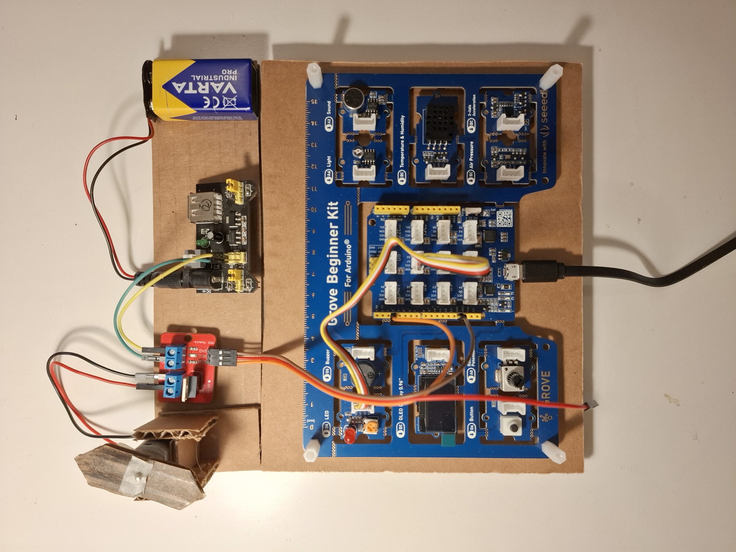
Autonomous Environmental Guard and Intelligence System – A Physical Computing Prototype for Disaster Monitoring and Early Warning Team Members: Pratik Kurtarkar, Varad Hande Prototype Model The objective of the project is to create an intelligent system to monitor remote and inaccessible areas that are fragile, sensitive and vulnerable to natural disasters. In light of recent … Read more
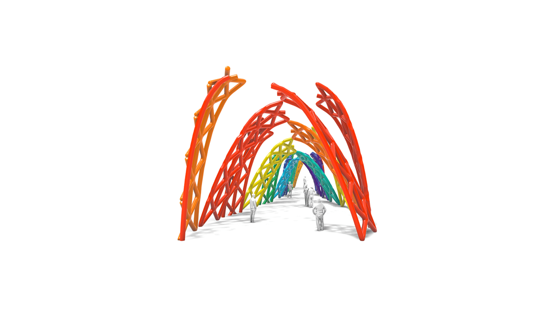
Fluid Landscapes: Hydro-Morphology

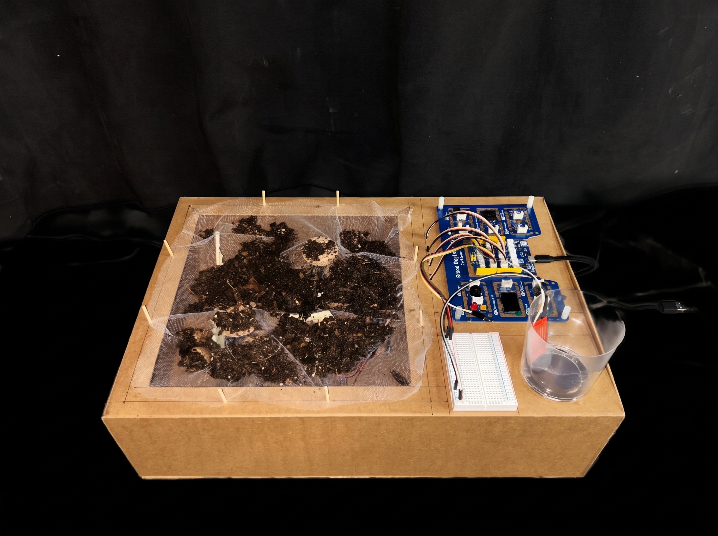
Exploring responsive topography through physical computing and adaptive water management. Rethinking the Relationship Between Water and Terrain Water is one of the most fundamental resources on Earth, shaping landscapes, sustaining ecosystems, and supporting human life. However, challenges such as flooding, drought, and soil erosion highlight the increasing need for more adaptable approaches to water management. … Read more

Encoding Urban Risk: Spatial Feature Analysis and Assessment

Can Street Geometry Predict Urban Safety Risk? A machine-learning pipeline that classifies street morphology into risk typologies — from OpenStreetMap features to multi-city deployment, dead ends included. This post documents the full arc of our Urban Safety project — not just the results, but the reasoning, the wrong turns, and what we learned from them. … Read more

NoiseXcape: Can Open Data Help Us Predict Urban Noise?

Introduction Noise is one of the most pervasive environmental stressors in cities. Long-term exposure has been linked to sleep disturbance, cardiovascular disease, reduced cognitive performance, and lower overall quality of life. Yet despite its importance, detailed noise maps are surprisingly difficult to obtain. Producing official noise maps requires measurements, traffic models, and considerable technical effort. … Read more

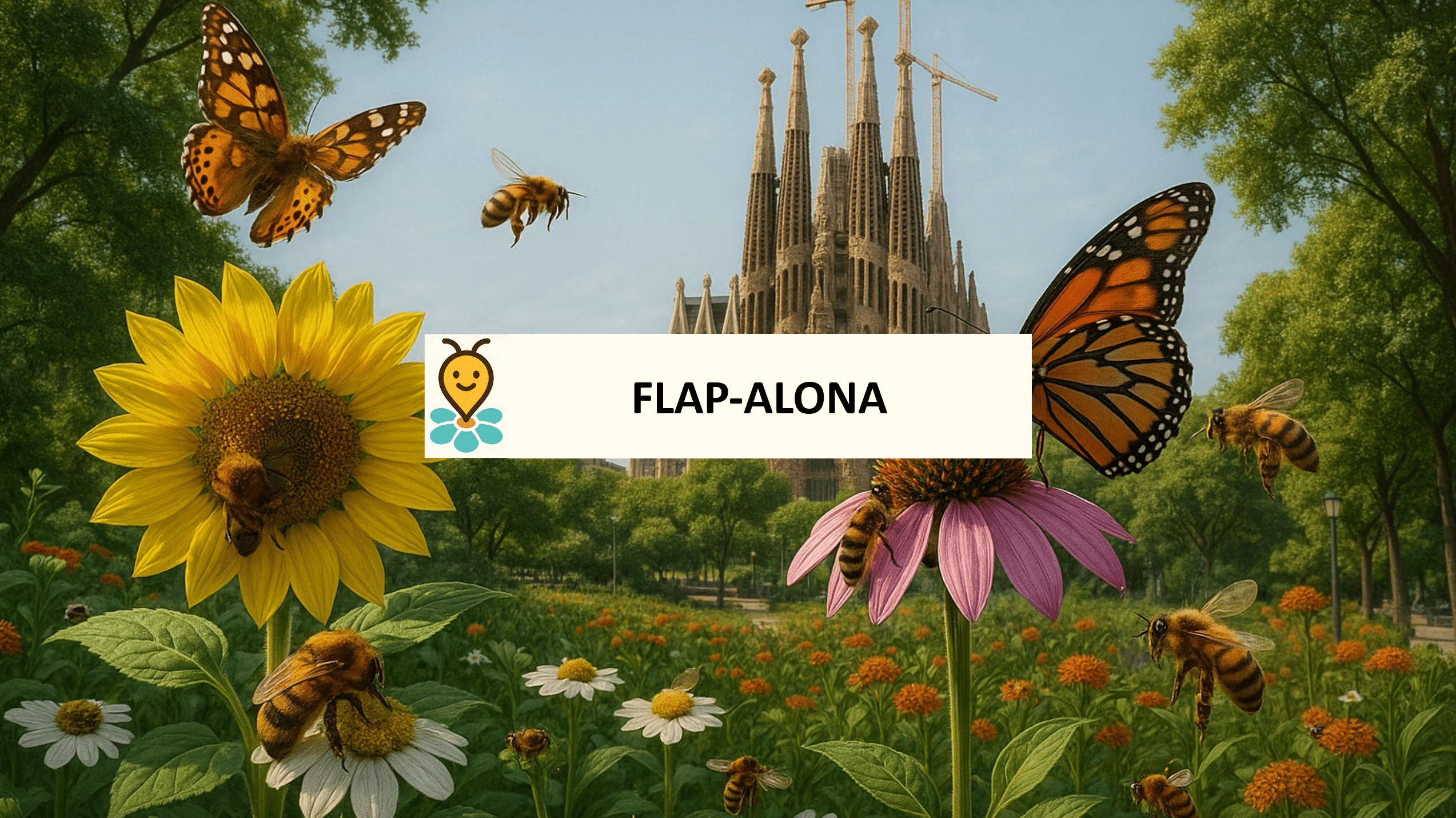
Flap-alona – butterflies, pollinators and Barcelona’s gardens

Pollinators, bees, butterflies, moths, bumblebees, quietly keep our ecosystems alive. They enable flowering plants to reproduce, sustain wild biodiversity, and support much of our food supply. Yet many of these species are in decline worldwide, threatened by habitat loss, chemical use, urban sprawl and climate change. In cities like Barcelona, where green spaces, gardens, parks … Read more

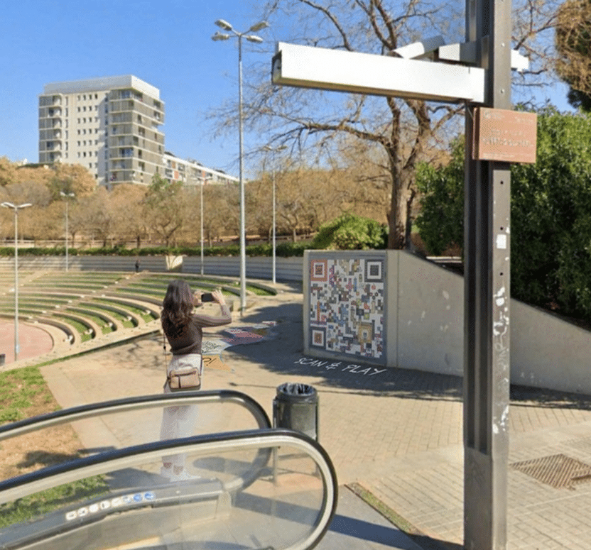
Connexió (Connection)

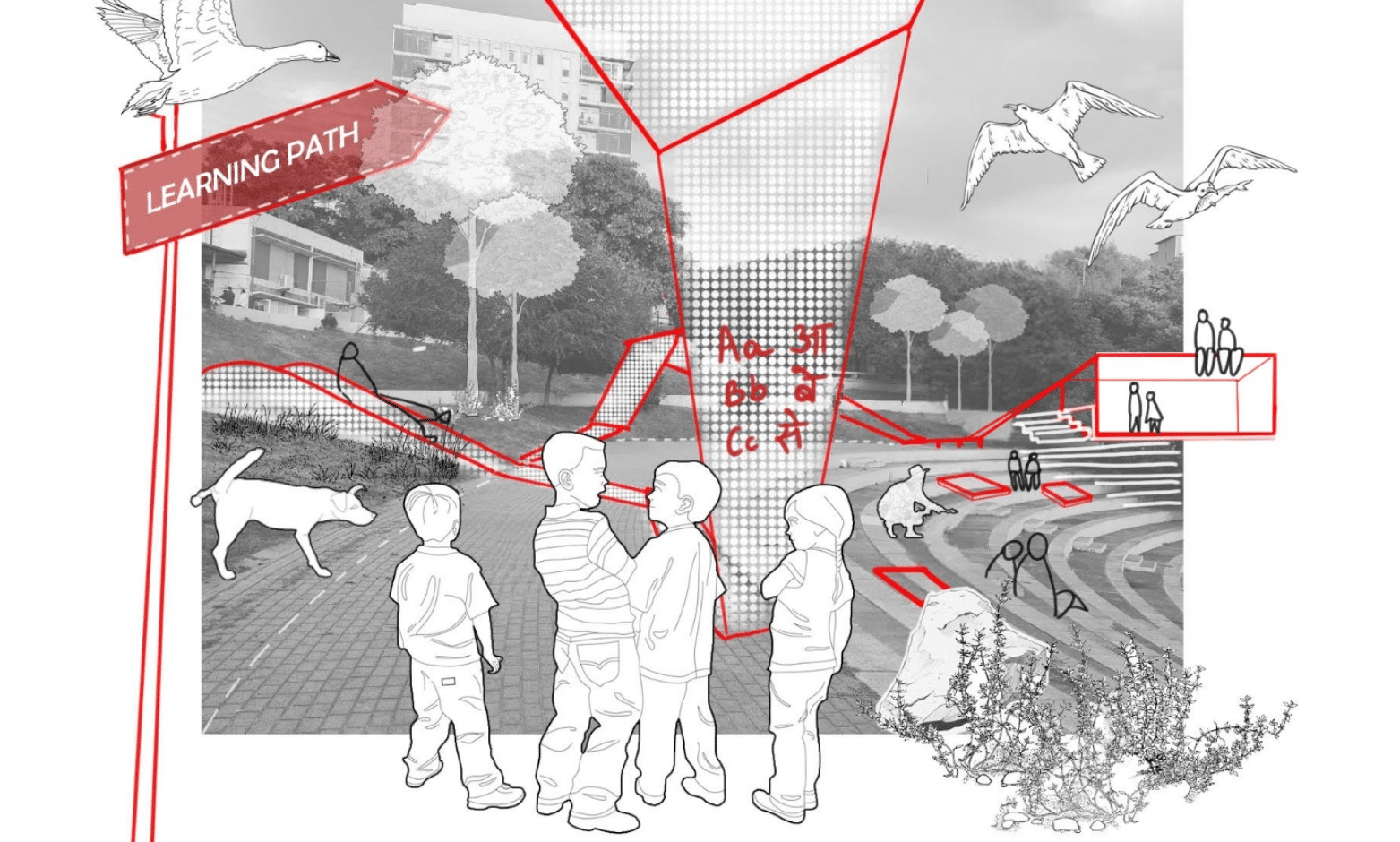
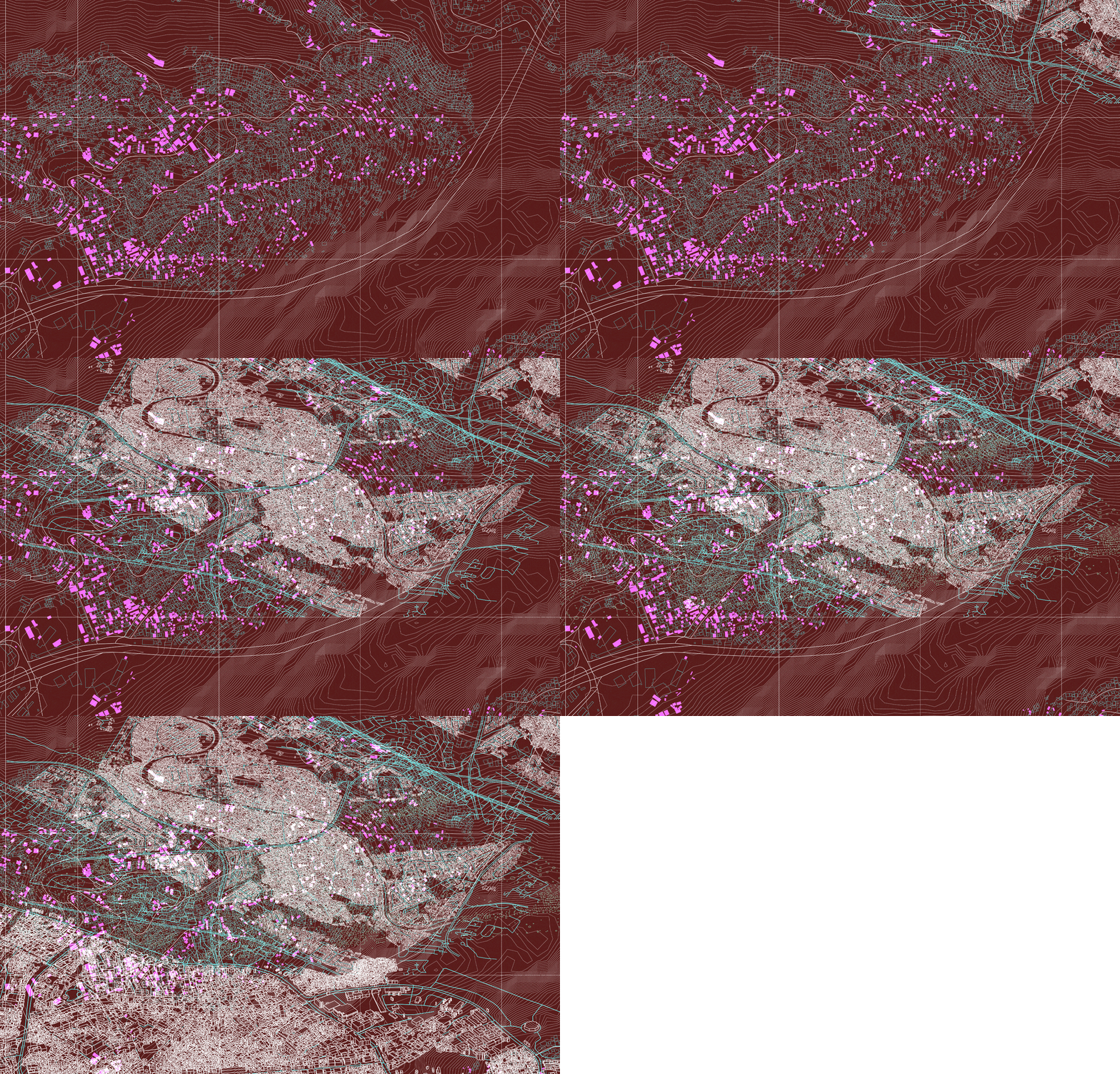
Santa Coloma de Gramenet, located to the north of Barcelona, is bordered by the Besòs River on the west and the Marina Mountain Range on the north. The city’s terrain features an irregular relief that rises to 303 meters at Mount Castellar, its highest point, a topographical character also visible within Parc dels Pins. The … Read more

Diálogos Urbanos (04)

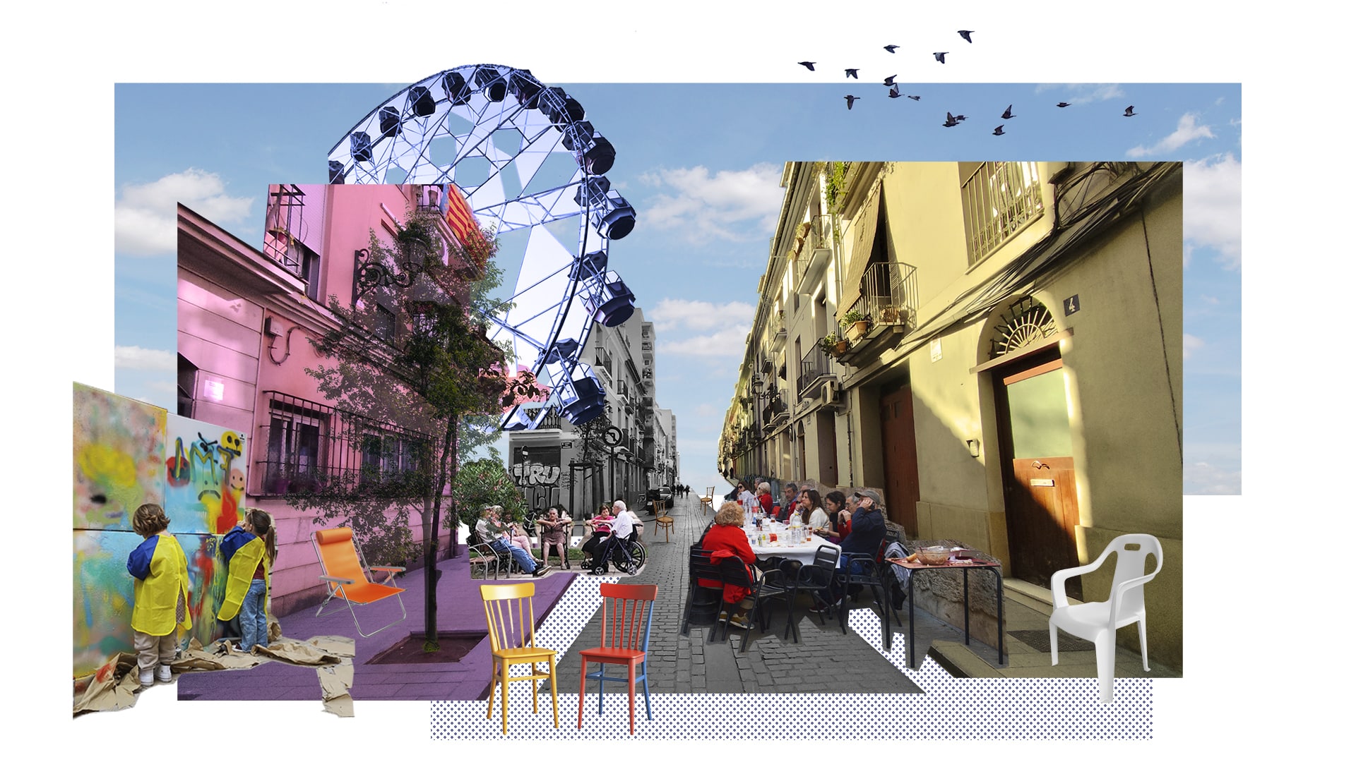
Prácticas afectivas en la interfaz público-privada de Ciutat Vella – València 1_ PRELUDIO Diálogos Urbanos surge en la intersección entre un proyecto de investigación, un registro coreo-carto-biográfico, una interfaz de reflexión sobre la ciudad que habito, y algunos puntos de fuga hacia imaginarios futuros desde una práctica de diseño que recupere la dimensión afectiva y … Read more

ACTIVOS URBANOS EVOLUTIVOS

Sobre latencias y oportunidades del abordaje de la vacancia en la Ciudad de Mendoza RESUMEN La problemática de los pasivos urbanos, definidos como terrenos subutilizados o infraestructuras obsoletas dentro del tejido urbano, constituye un fenómeno global con implicaciones territoriales y socioeconómicas a escala local. La expansión urbana no planificada, caracterizada por patrones de crecimiento de … Read more

Skate {able} city

Redefinir el espacio público desde el skateboarding: hacia una Integr{able} City En las ciudades contemporáneas, el diseño del espacio público tiende a responder a lógicas de especialización funcional, segmentando sus usos y trazando bordes rígidos entre actividades. Esta fragmentación limita la convivencia, reduce la espontaneidad y empobrece la diversidad de apropiaciones que constituyen la esencia de … Read more

EMI: Engine for Morphological Integration

An algorithmic roadmap that converts self-organized settlement morphology into clean-energy action: the Energy-Morphology Index mines open roof- and density data, ranks each building’s readiness, and matches “Ready / Promising / Not-Ready” clusters to modular solar toolkits—turning self-organized settlements into engines of energy justice

Spatial Data to Economic Intelligence

Using Street View and Remote Sensing methods to infer ground level socio-economic realities The Challenge: The Urban Data Blind Spot Urban economies are dynamic, fast-evolving systems—but the data used to understand them is often static, delayed, or incomplete. In many cities, a significant share of economic activity unfolds beyond the reach of traditional measurement frameworks, … Read more

Flow – SIGHT: De- coding urban mobility

Introduction Urban traffic congestion is more than just an inconvenience—it’s a global challenge tied to pollution, stress, and wasted time. While cities are turning to AI-driven systems to ease the gridlock, the question remains: Do these technologies actually perform better than traditional methods?Flow – SIGHT is a comparative research project that investigates traffic systems across … Read more

Urban Legibility beyond Vision

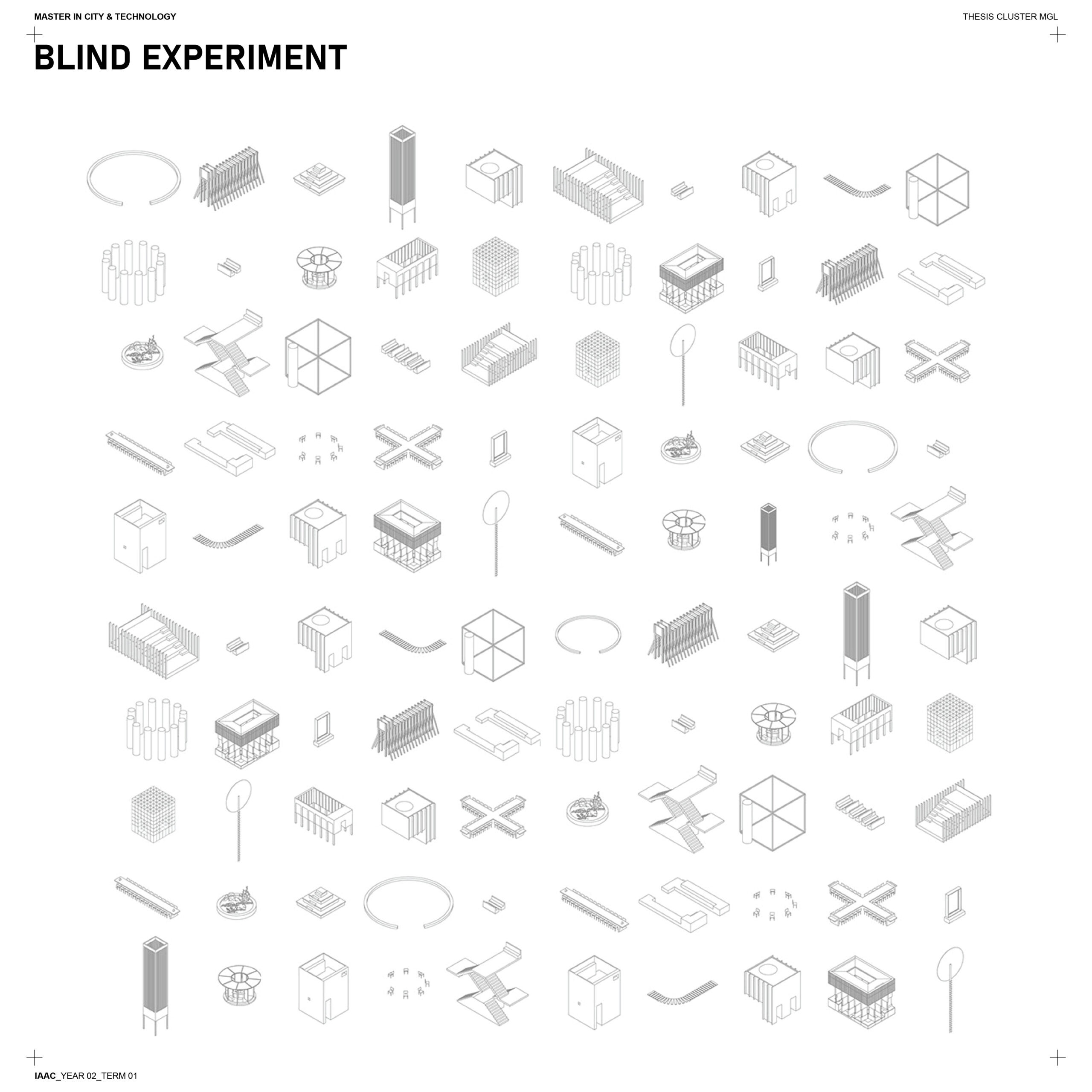
An exploration how to enhance independent mobility for blind individuals by addressing psychological and systemic barriers. Using a participatory design approach, it goes beyond assistive tech to build an ecosystem of tools, behaviors, and spatial strategies that support confident navigation. A taxonomy with blind participants organise emotional, spatial, and user insights into a practical design … Read more