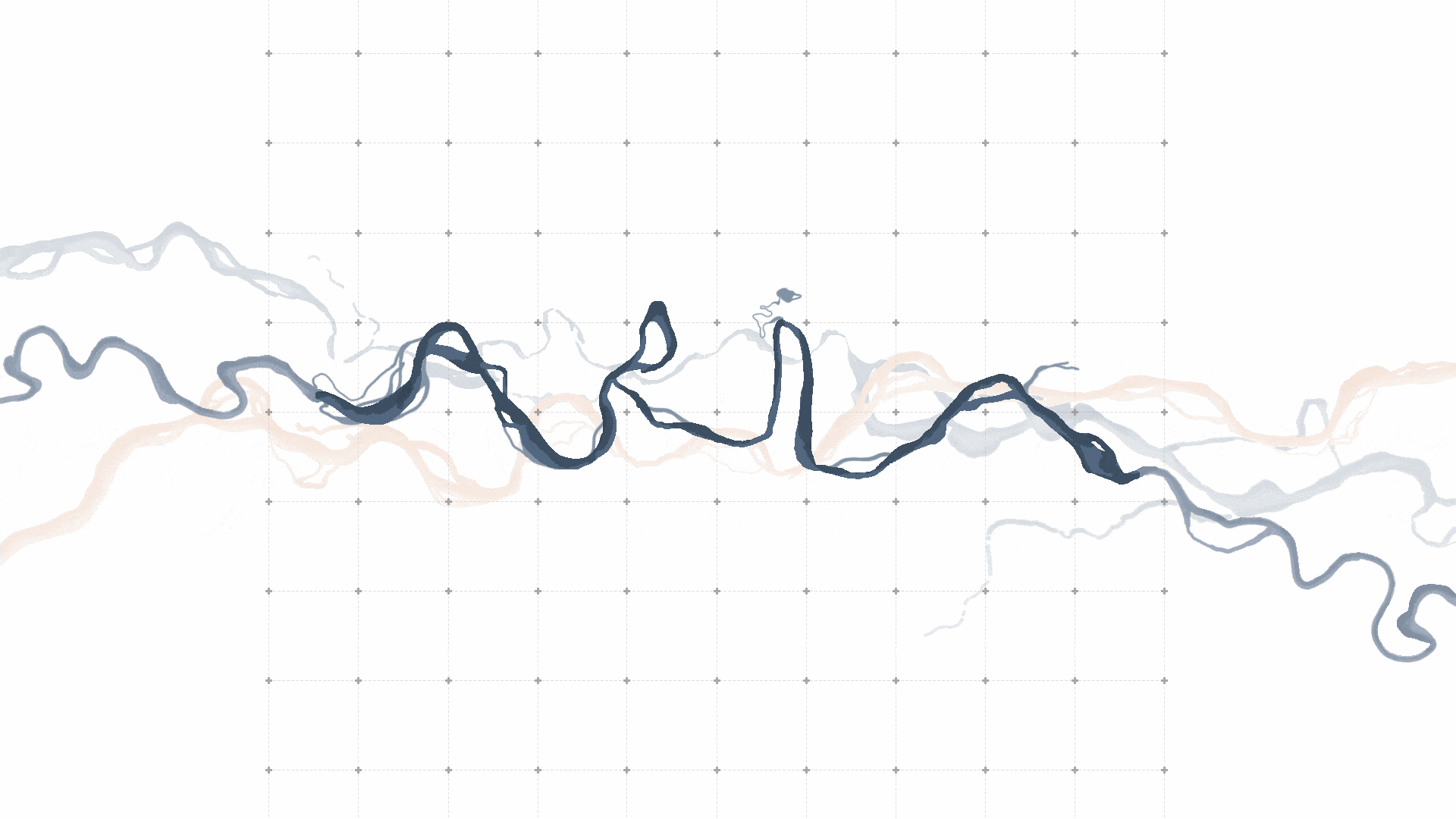
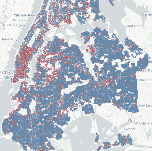
The Can Ricart Regeneration Project

Design Ethos This project seeks to explore how issues of stagnation and obsolescence can be tackled whilst still enabling socio-economic and technological developments of our urban spaces. It will explore how they can be applied within architecture to evaluate how we can more effectively address issues of erasure whilst still permitting modern interventions and advancements … Read more

St. Julian’s – Environmental Analysis Research

Saint Julian’s City in Malta Saint Julian’s is Malta’s nightlife and tourism epicenter (Paceville), causing extreme population density and infrastructure strain in summer. Its coastal development makes it highly vulnerable to climate change impacts like sea-level rise, while its energy-intensive industry contributes to Malta’s emissions. Environmental Analysis to Inform Design Environmental Analysis Workflow The workflow … Read more

Barcelona Housing & Metro Analysis Explorer

Throughout the course of Urban Data, we learnt several different ways of handling multiple datasets to finally form a dashboard for the same. In this exercise, we worked using VS Code to create a Dashboard for the comparison of Barcelona’s available rental or buyout housing like what idealista does but the also have it depended … Read more

Flap-alona – butterflies, pollinators and Barcelona’s gardens

Pollinators, bees, butterflies, moths, bumblebees, quietly keep our ecosystems alive. They enable flowering plants to reproduce, sustain wild biodiversity, and support much of our food supply. Yet many of these species are in decline worldwide, threatened by habitat loss, chemical use, urban sprawl and climate change. In cities like Barcelona, where green spaces, gardens, parks … Read more

$pot Finder

Preview of our dashboard with cost per m2 map on the right and a bar graph on the left

Opening a business is a bold investment. Factors (many out of business owners’ control) can determine whether or not local businesses thrive or struggle. Location matters, especially for businesses that depend on foot traffic. But the bigger questions are tough to answer: where should the business open? What is a fair rent to expect? Which … Read more

Topographies of Work

This drawing explores how architecture transforms when it stops imposing its order and allows the forest to define its own conditions. It explores a shift from “building in a forest” to “building as a forest”. In the drawing Valldaura Lab is not an object placed in the forest, it is an interpreter of the forest … Read more

Inclusive Wayfinding

This project focuses on accessibility and orientation between nearby schools and Parc dels Pins in Santa Coloma de Gramenet. It emphasizes children and inclusion. Through co-creation with local schools, the design tests inclusive wayfinding strategies using sensory and tactile signage. These aim to improve safety, visibility, and spatial awareness. The process brings together children, educators, … Read more

Our Sprint Through Parc dels Pins

We had an incredible, whirlwind five days co-creating public spaces with Pablo Muñoz, Luisa Torres, Josefina Ovalle Parot, and the amazing community of Santa Coloma de Gramenet. It felt like a rapid-fire game—running around the park, talking to people, collecting stories, analyzing data in GIS and Grasshopper, figuring out who to design for, and then … Read more

Connexió (Connection)

Santa Coloma de Gramenet, located to the north of Barcelona, is bordered by the Besòs River on the west and the Marina Mountain Range on the north. The city’s terrain features an irregular relief that rises to 303 meters at Mount Castellar, its highest point, a topographical character also visible within Parc dels Pins. The … Read more

Wildlife Integrating Landscape Design Artificial Intelligence – WILD.AI — Term_III

CONTEXT DYNAMICS METHODOLOGY ANALYSIS By subtracting different scenarios from one another: The differences start to become clear as to what areas are consisently lost vs what areas are inconsistently lost. The latter being the one where planners and ecologists should focus their efforts the most if aiming to potentialize action. The figure becomes even clearer … Read more

Andromeda

Andromeda

Andromeda is a Rhino-native copilot that turns briefs, context, and massing into a single, interpretable graph so designers can enrich masterplans, evaluate KPIs, and bake results back to Rhino, without leaving their workflow. Built for early-stage masterplanning, it aims to raise social value, connectivity, accessibility, and overall urban quality by unifying data, guiding program allocation, … Read more

Urban Climate on Graphs: From Form to Comfort

ABSTRACT This thesis investigates the relationship between urban development patterns and outdoor thermal comfort, with a focus on Mean Radiant Temperature (MRT), a key factor in calculating the Universal Thermal Climate Index (UTCI).  While graph-based approaches have long been used in spatial analysis (e.g., space syntax, circulation networks), this research extends the application of graph … Read more

Territorio en Cura:

El drama socioambiental de la explotación de sal gema en Maceió y la reimaginación de este territorio Resumen Este trabajo analiza el colapso geotécnico y socioambiental causado por la minería de sal-gema en Maceió, Brasil. A partir de datos técnicos, mapas producidos por la autora y relatos comunitarios, propone una lectura crítica del territorio y … Read more

ACTIVOS URBANOS EVOLUTIVOS

Sobre latencias y oportunidades del abordaje de la vacancia en la Ciudad de Mendoza RESUMEN La problemática de los pasivos urbanos, definidos como terrenos subutilizados o infraestructuras obsoletas dentro del tejido urbano, constituye un fenómeno global con implicaciones territoriales y socioeconómicas a escala local. La expansión urbana no planificada, caracterizada por patrones de crecimiento de … Read more