
Skate {able} city

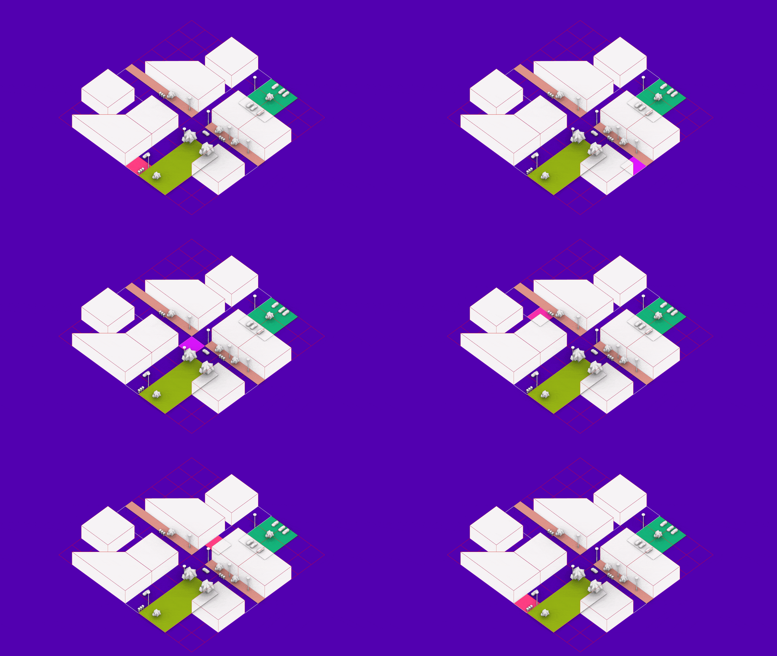
Redefinir el espacio público desde el skateboarding: hacia una Integr{able} City En las ciudades contemporáneas, el diseño del espacio público tiende a responder a lógicas de especialización funcional, segmentando sus usos y trazando bordes rígidos entre actividades. Esta fragmentación limita la convivencia, reduce la espontaneidad y empobrece la diversidad de apropiaciones que constituyen la esencia de … Read more

INTERACTIVE LIGHTSCAPES

Creating Charismatic and Safer Public Spaces through Light RESEARCH QUESTION: How can experiential lighting features — ones that create interactive, changing, and flexible environments– be used in public spaces in order to create senses of community, safety, and improved mental and emotional health? HYPOTHESIS: If we integrate interactive lighting solutions as permanent fixtures in public … Read more

GG Worlds [v.2]

Introduction: From Words to Worlds Game design is one of the most creative fields in digital media today but for most developers, turning ideas into immersive worlds remains slow, expensive, and overwhelming. Especially for independent creators, level design, the art of shaping the physical and emotional journey of a player, is often the most demanding … Read more

EMI: Engine for Morphological Integration

An algorithmic roadmap that converts self-organized settlement morphology into clean-energy action: the Energy-Morphology Index mines open roof- and density data, ranks each building’s readiness, and matches “Ready / Promising / Not-Ready” clusters to modular solar toolkits—turning self-organized settlements into engines of energy justice

EcoNodes

EcoNodes is an AI-driven urban planning platform designed to identify and prioritize the city’s most heat-stressed and impervious junctions for strategic green interventions. By combining satellite imagery, street view segmentation, and environmental datasets, EcoNodes highlights the urban nodes that lack vegetation, suffer from poor air flow, or trap excessive heat. The tool empowers planners to … Read more

Spatial Data to Economic Intelligence

Using Street View and Remote Sensing methods to infer ground level socio-economic realities The Challenge: The Urban Data Blind Spot Urban economies are dynamic, fast-evolving systems—but the data used to understand them is often static, delayed, or incomplete. In many cities, a significant share of economic activity unfolds beyond the reach of traditional measurement frameworks, … Read more

Urban Matrix

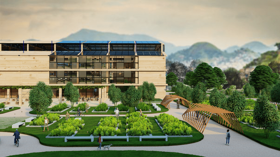
Abstract Our project, addresses the need for Productive Justice for Self-Sufficiency in Mesquita, a municipality in Rio de Janeiro marked by socio-economic challenges such as food insecurity, water scarcity, infrastructure deficiencies, and a strong dependence on government subsidies. Our strategy transforms residual urban spaces-abandoned plots, unused corners, canal edges-into a Productive Web of interconnected hubs … Read more

Computing Risk and Planning Resilience from Afar

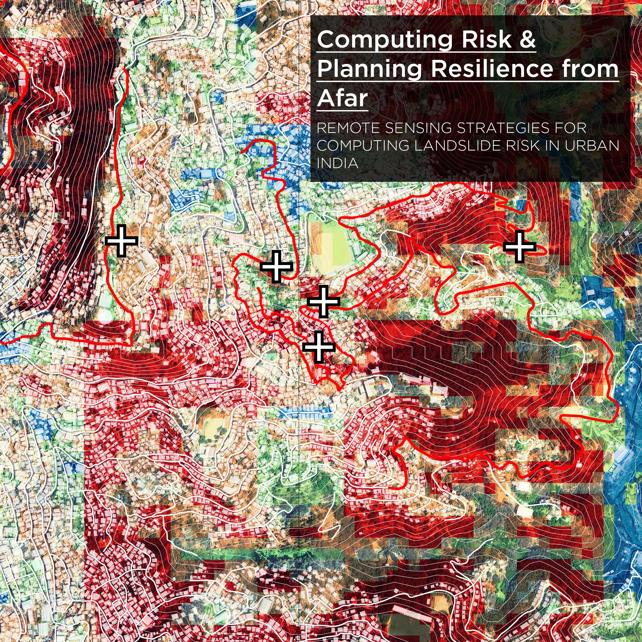
Computing Risk & Planning Resilience from Afar is a remote-sensing–driven investigative study to read, identify and address underlying vulnerabilities associated with landslide risk in urban India. The project aims to develop replicable analysis workflows for compounded risk calculation—making visible what often remains hidden enabling actionable insights in places where institutional data is frequently outdated or … Read more

Flow – SIGHT: De- coding urban mobility

Introduction Urban traffic congestion is more than just an inconvenience—it’s a global challenge tied to pollution, stress, and wasted time. While cities are turning to AI-driven systems to ease the gridlock, the question remains: Do these technologies actually perform better than traditional methods?Flow – SIGHT is a comparative research project that investigates traffic systems across … Read more

Quito | in Transition

Quito is located in the north-central part of the Andean region of Ecuador, in south america. Given its high elevation, it is one of the highest capitals in the world. With a population of 1.9M people, it is the second-largest city of Ecuador. It is located in the province of Pichincha in the canton of … Read more

Reclaiming Public [Space] – the decolonial future through the ideologies of the First Nations people of Australia. 

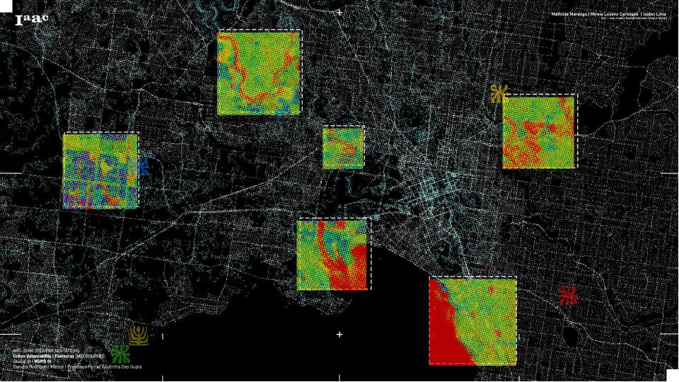
About This project investigates how colonial patterns of urban design in Footscray have historically shaped and continue to shape the experiences of mobility, vulnerability, and belonging among First Nations people. By tracing the spatial legacies of dispossession and infrastructural violence, the work critically maps how extractive logics have severed Indigenous connections to place. In response, … Read more