
Analyzing the concentration of water flow across a landscape is an important factor in site planning, being able to communicate those findings in a digestible manner is the issue I hoped to address today.
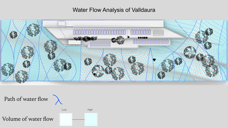
The focal point of the drawing is the flow of water, I did not want to draw attention to the terrace situated on the slope. However, I wanted a subtle point to the irrigation lines in the garden beds on the terrace, identifying them with the same dark blue that displays the path of natural water flow down the hill. The path of the water is dictated by the intensity of the slope and the vegetation on the hill that absorbs and slows. Similarly, the gradient of the hatched lighter blue lines depicts the volume of the water flow in regions which are also established by slope intensity and vegetation density. The path of water flow both acts as a directional indicator and the borders of water volume regions.
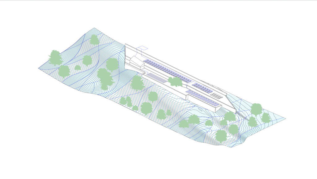
At its core this visual analysis was a way to familiarize myself with creating topographical landscapes in rhino, utilizing hatches to communicate information in a model, and understand the strengths of working in 2D axonometric models.
