

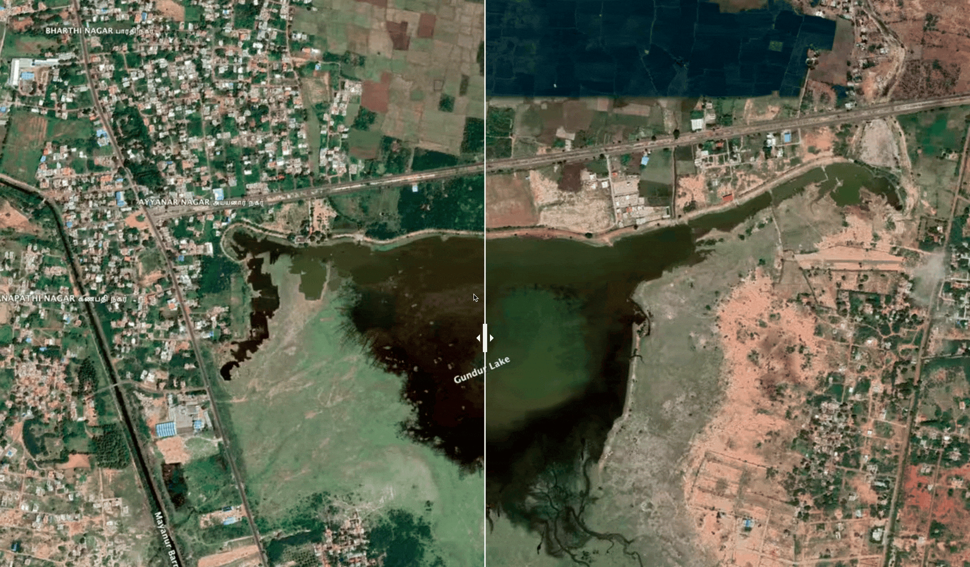
Guntur Panchayat, Trichy District
Location: 10.7245103, 78.7281189
Guntur lake was not maintained for years. After our restoration work the lake is now filled with water.
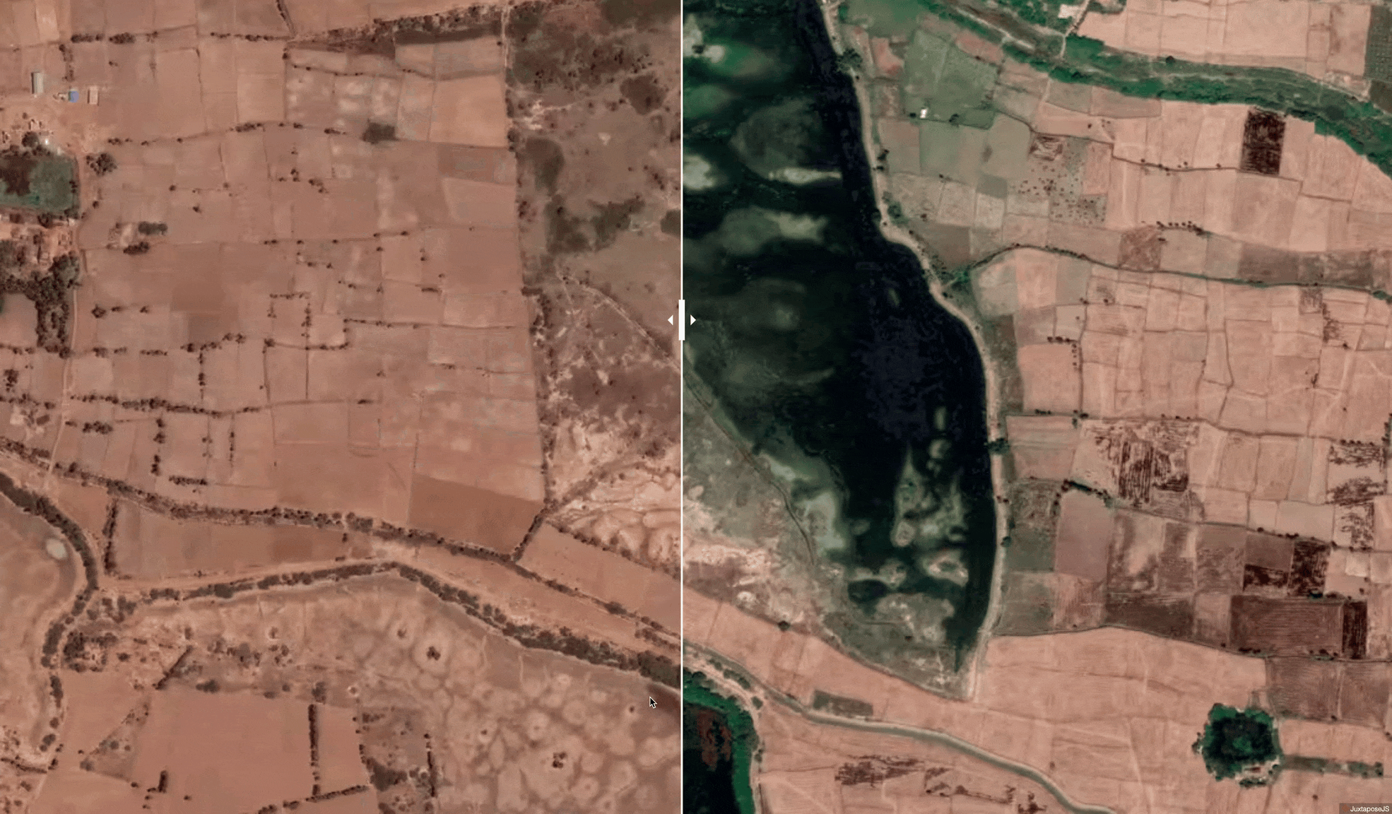
Peravurani Taluk, Thanjavur district, Tamilnadu
Area of the lake: 6 acres
Water storage capacity: 40000000 litres
Location: 79.25 ,10.27
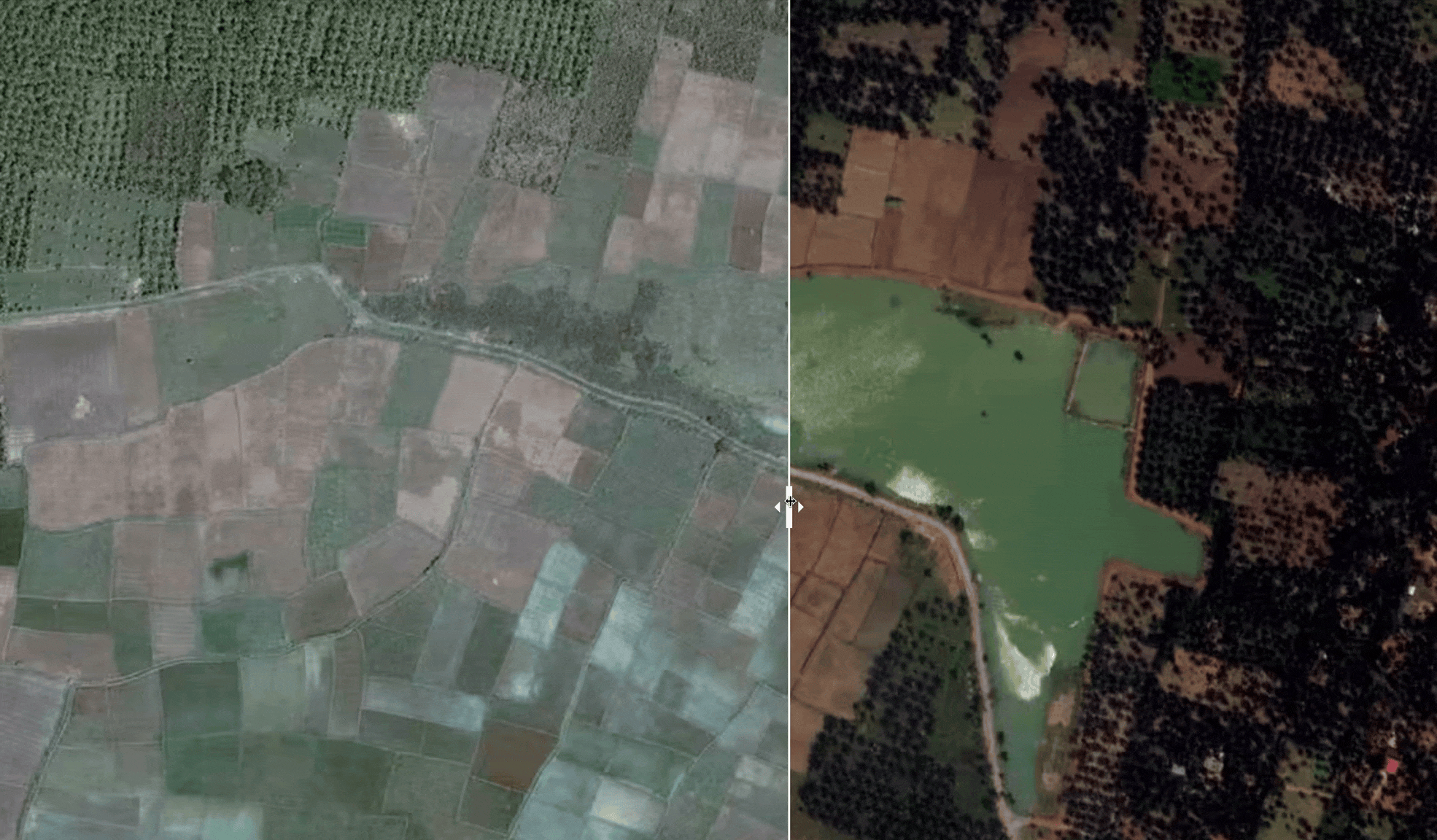
athalaikkundu Nochchi Kulam
Area of the lake: 55 acres
Water storage capacity:80 crore litres
Location10.289601, 79.22789
Shrubs and invasive species were removed: from the lake region, desilted it, established boundaries. Two lake islands were created inside the lake and planted hundreds of native trees. Water was brought to the lake via the inlet and ensured that maximum rainwater is saved in this water body.
A storytelling website prototype:
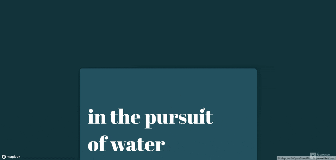
Interactive Grassroot initiative map
The map allows users to browse through case studies of worldwide base of water-related problems and grassroots initiatives taken as responses. The map also includes two visual indexes – the groundwater depth – an important marker measuring the depth of ground water table. The index could highlight potential water scarced areas or ones where water was depleted by extraction. The other index is a global water scarcity risk index that highlights water scarced areas and the risk severity level.
