GG WORLDS Blender Plug-in Prototype
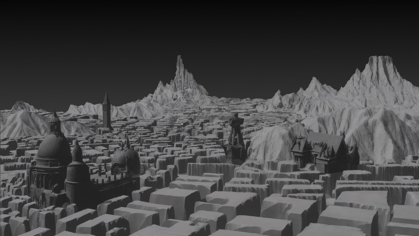
GG WORLDS: A Blender plugin that enables users to instantly generate and customize 3D environments from text prompts, using generative AI to save time, cost, and boost creative freedom. Physical Prototype: Our prototype demonstrates an interactive workflow where users arrange physical maps and landmarks, then use a tablet AR app to instantly visualize and modify … Read more