Parametric Transformation: Gaudi Inspired Acoustic Panels
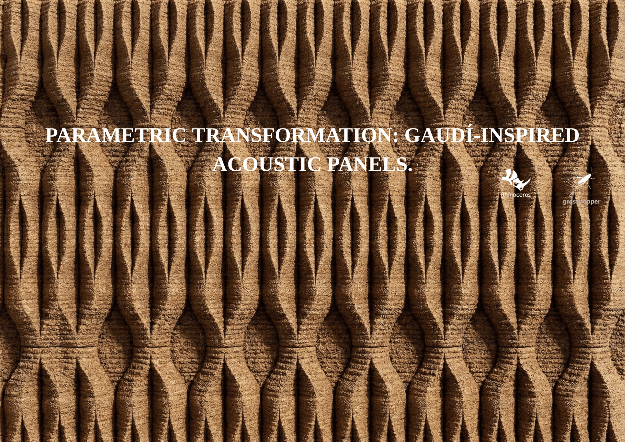
Abstract This project looks at turning waste cork materials into 3D printed acoustic panels, using design ideas taken from Gaudí’s work in the Sagrada Familia. The cork comes from reused bottle stoppers collected in Catalonia, then ground down and turned into a printable filament, so the whole process fits into a circular material workflow. On … Read more