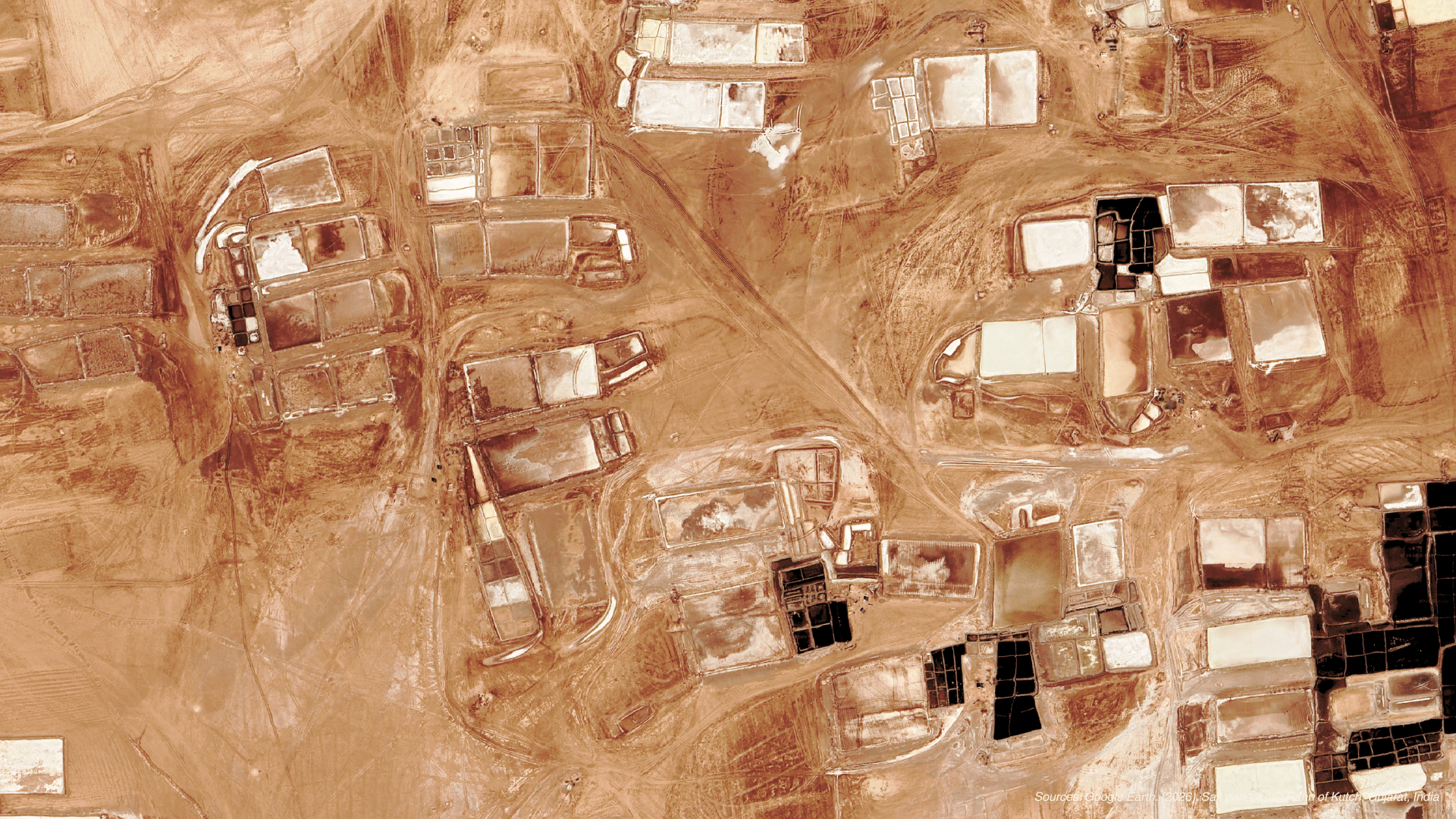
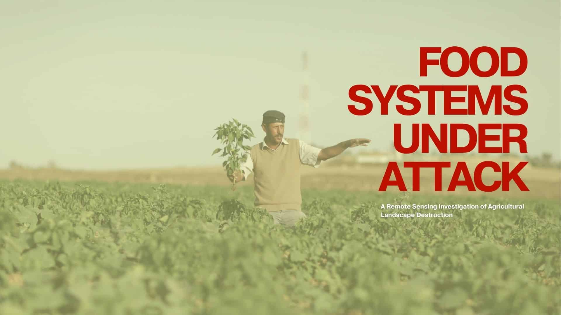
Food Systems Under Attack
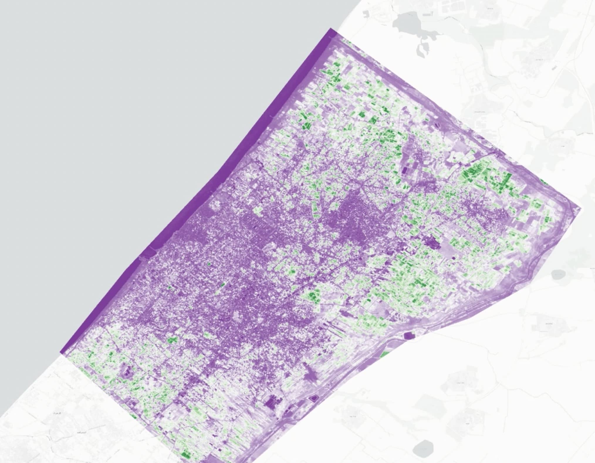
Agriculture is not simply another economic sector. It is the foundation of food security, livelihoods and social stability. Yet in many conflict zones, agricultural landscapes are systematically damaged through bombardment, infrastructure collapse, restricted access to farmland, and disruption of water systems. While urban destruction is often visible and extensively documented, the destruction of food-producing landscapes … Read more