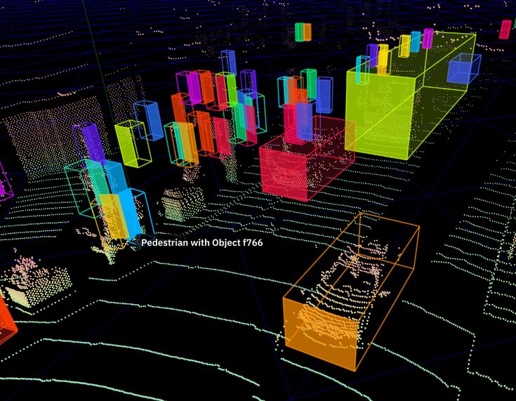
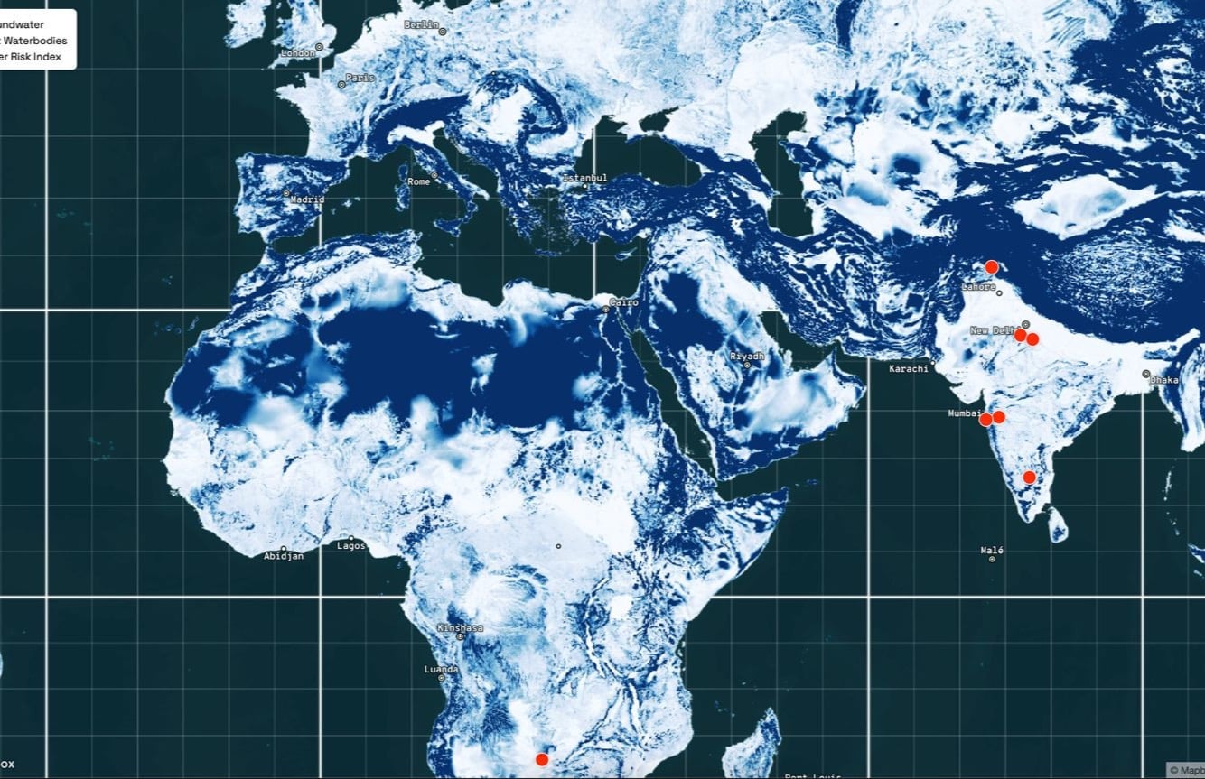
The Master in City & Technology’s academic structure is based on IAAC’s innovative, learn-by-doing and design-through-research methodology which focuses on the development of interdisciplinary skills. During the Master in City & Technology students will have the opportunity to be part of a highly international group, including faculty members, researchers, and lecturers, in which they are encouraged to develop collective decision-making processes and materialize their project ideas.

Filters
Course

Islands & Fortresses: the future of the Skyscraper?

“Blade Runner 2049” is a good example of how urban landscapes will be shaped differently in response to environmental collapse and societal stress. Designed by communities dominated by fear of losing their stability under an authoritarian social logic, the film features Las Vegas and Los Angeles. Reimagined as part of Bruce Sterling’s, What skyscrapers might … Read more

The Colossal God-like Tower

Sterling, B (2015) imagined four fictious scenarios of how future skyscrapers might be, differentially equalizing the state of technology, and the economical-political climate: In our third scenario, the advanced use of technology allows and fosters the consolidation of a colossal, idealistic, god-like skyscraper. Advanced Building Information Modeling fuels a technocratic society, where towers stand as … Read more

REAL VS VIRTUAL URBAN ENVIRONMENTS

Ready Player One presents a contrasting scenario between real world urban environments and virtual urban environments. This setting is shaped by a culture of video games that promotes individual competition, gendered imaginaries, conflict narratives and a militarized mindset. Real world urban skyscrapers are depicted as loop-sided pyramids designed to house large numbers of immigrants in … Read more

Foot & Wheels

Introduction According to the World Health Organization, around 1.19 million people die each year due to traffic accidents, and another 20 to 50 million suffer non-fatal injuries, many of which result in disability. Beyond the human toll, the economic costs related to treatment and care for those involved in traffic accidents are significant, estimated to … Read more

Panoramic Vision: Computational Streetscape Analysis

“Can we understand urban environments and street characteristics from Google Street View panorama images using Machine Learning and Stable Diffusion techniques?” Project OverviewThis computational design project aims to develop a pipeline utilizing Grasshopper and Python to visualize clusters of panoramic streetscape images. The project leverages t-Distributed Stochastic Neighbor Embedding (t-SNE) for dimensionality reduction, facilitating the … Read more

Urban Context Generator

Grasshopper is an incredibly versatile tool that in recent years has expanded into fields far beyond the origins in three-dimensional parametric design. One of these fields is that of GIS analysis, which has traditionally been approached through software such as QGIS. The advantages of Grasshopper and Rhinoceros3D over QGIS include the versatility and customisability of … Read more

INFOTO

Objective | Information from a Photo Photos are widely used to quickly capture context but are not easy to relate to spatial data. To remedy this challenge for users of 3D modeling software, we created a tool that integrates Python and Grasshopper to extract the location and time information from a photo and output variable … Read more

Machine Learning to predict Bicing availability

Introduction to Bicing Bicing is the bike-sharing service in Barcelona, Spain, providing residents and tourists with an eco-friendly, convenient, and affordable means of transportation. Launched in 2007, Bicing has grown to include thousands of bicycles distributed across hundreds of docking stations throughout the city. Users can pick up a bike at one station and return … Read more

Never Miss A Ride

Introduction This presentation outlines the development and evaluation of machine learning models aimed at predicting the availability of bikes at various bicing stations in Barcelona. We’ll discuss the variables involved, the modeling techniques used, and compare the performance of different models. Python is a friendly environment for preparing, training and forecasting machine learning algorithms within … Read more

Predicting Biking Station Vacancy in Barcelona

Introduction Urban transportation planning relies on data science to explain the conditions driving mobility patterns. This exploration of bicing, Barcelona’s resident bike rental program, analyzes the actors impacting discrepancies in bicing data to select machine-learning strategies able to predict biking station vacancies across Barcelona for the year 2024 with an accuracy of 0.02387. With this … Read more

Navigating Development Strategies : Chennai City

Exploring future cities through balancing global & local agendas Located on what’s called the ‘Coromandel Coast’ of South East India, Chennai is home to a population of over 10 million people, approximately. Earlier known as Madras, Chennai is part of the top 5 populous cities of the country and is located within the second most … Read more

Forms of Inadequacy in Dakar

Abstract Dakar is Senegal’s capital city and rapidly urbanizing economic center. Today, Dakar’s urban area is home to 3.54M people, half of Senegal’s population, and generates 55% of the Country’s GDP. This growth is artificially constrained by an urban growth boundary, where new homes are informally built, and due to the city’s topography, a peninsula … Read more

Future Cities: Lahore – A Vision for 2050

Where is Lahore? Lahore, the capital city of the Punjab province in Pakistan, is a historic urban center known for its rich culture, vibrant life, and significant economic contributions. Situated near the eastern border with India, Lahore stands as a testament to centuries of evolution, from a small walled city to a sprawling metropolis. As … Read more

Dhaka City’s Urban Nexus

Dhaka, the bustling capital of Bangladesh is at a critical juncture in its urban development. With a population exceeding 10.4 million, the city faces significant challenges in housing, transportation, and environmental sustainability. This project is a part of a comparative analysis done by the students, understanding these challenges under the framework of SDG 11 – … Read more

Future city: Bangkok 2030

Introduction In the dynamic landscape of the “Global South,” cities are at the forefront of rapid urbanization, presenting both opportunities and challenges for sustainable development. Recognizing the urgency of addressing these issues, a consortium of experts and practitioners has embarked on a groundbreaking initiative to assess the nexus between urbanization and sustainability across diverse cities. … Read more

Future Cities: Cairo

Cairo, Egypt’s vibrant capital, exemplifies rapid urbanization in the Arab world. The city’s growth presents multifaceted challenges, from housing to transportation, reflecting modern urban planning complexities. This project explores Cairo’s development strategies, linking them to the United Nations Sustainable Development Goals (SDGs), particularly Goal 11: “Sustainable Cities and Communities.” By examining Cairo’s case, we gain … Read more

Lessons learned in Neuquén

The workshop challenged us to engage with the topic of planetary urbanization through the United Nations Sustainable Development Goals 2030 agenda. We chose to work on the city of Neuquen as it represents an example of a city that is undergoing a fast transition in the context of climate change. Neuquen province has a rich … Read more

Thirst For Change

Abstract Latin America finds itself at a crossroads, facing a tightening grip from a seemingly paradoxical situation: a growing scarcity of water amidst regions prone to both droughts and floods. This foundational story explores the current and future drought conditions gripping the continent, highlighting the environmental, social, and economic challenges at play. Introduction Understanding the … Read more

Flight Paths in Python

The world is in constant flux, domestic and international flights play a role in the fast paced travel that has become a normality. This project was conducted with python script in Jupyter notebook, to map out the airports and routes on our planet. PYTHON SCRIPT: import pandas as pd ports = pd.read_csv(“pathtoports.csv”)print(ports)from shapely.geometryimport Pointimport geopandas … Read more

Torrents of change

Introduction: Shorter & Sharper Events Imagine the persistent drumming of rain against your window. Not the comforting tapping of a spring shower, but a relentless torrent that seems to prolong for days. This isn’t science fiction, but a glimpse into the potential future of many Latin American cities. A staggering 40% of the region is … Read more

Rising Waters

The year is 2100. Latin America is sinking. Due to global warming the polar icecaps have almost melted completely. In addition the increased temperature has caused the global water mass to expand by almost 1%. As a consequence sea levels are rising at unprecedented levels globally. The coastline in South America is hard-hit by these … Read more

Harnessing AI in Design: The Neural Network Component in Grasshopper

Grasshopper’s neural network component is turning data into smart, functional design solutions. The neural network component within this environment presents a new frontier for design intelligence. Here’s a walkthrough of how this component transforms raw data into smart design solutions. The Training Grounds: Neural Network Trainer Designers input parameters into the Neural Network Trainer—this is … Read more

Theories of the Urban II

URBAN RESILIENCE : A dynamic governance framework for the Anthropocene, urban resilience combines ecological strategies with infrastructure safeguarding, embracing diverse, site-specific approaches to ensure cities withstand and adapt to crises, thereby maintaining their core identity and functions. URBAN FUTURES: Reimagining sustainable cities in the climate crisis era, grounded in today’s social realities and informed by … Read more

Identifying safe spaces

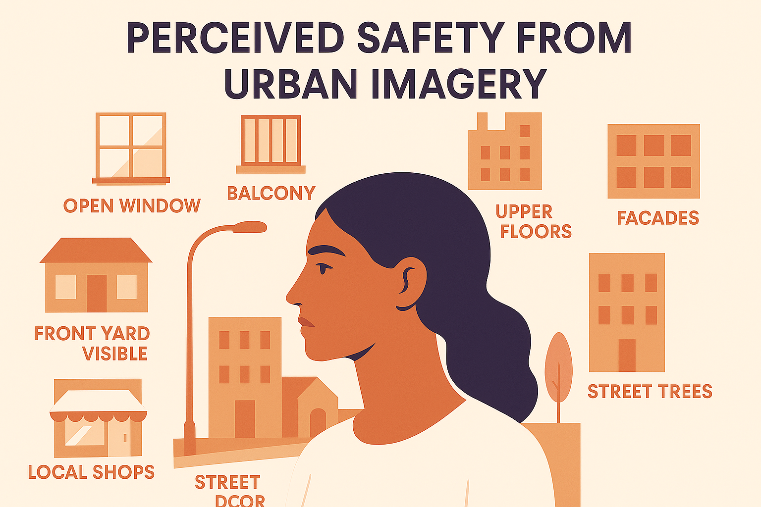
Using a visiblity map in the residential district of Montserratina in Viladecans, Catalunya, we aim to identify which junctions in the most popular route or routes are safe and what street typologies promote safety. VILADECANS We were working on a project that had as an objective to create healthy and safe spaces for the city … Read more