IAAC’s Master in City & Technology (1 or 2-year program) is a unique program oriented towards redefining the analysis, planning, and design of twenty-first-century cities and beyond. The program offers expertise in the design of digitally enhanced, ecological and human-centered urban environments by intersecting the disciplines of urbanism and data science. Taking place in Barcelona, the capital of urbanism, the Master in City & Technology is training the professionals that city administrations, governments, industries, and communities need, to transform the urban environment in the era of big data.


Filters

Foot & Wheels

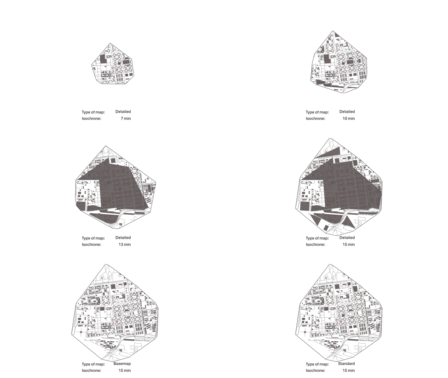
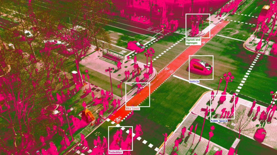
Introduction According to the World Health Organization, around 1.19 million people die each year due to traffic accidents, and another 20 to 50 million suffer non-fatal injuries, many of which result in disability. Beyond the human toll, the economic costs related to treatment and care for those involved in traffic accidents are significant, estimated to … Read more

Panoramic Vision: Computational Streetscape Analysis

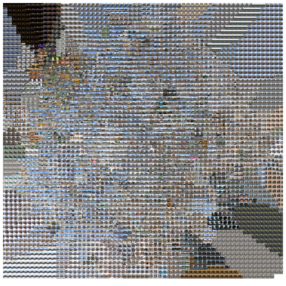
“Can we understand urban environments and street characteristics from Google Street View panorama images using Machine Learning and Stable Diffusion techniques?” Project OverviewThis computational design project aims to develop a pipeline utilizing Grasshopper and Python to visualize clusters of panoramic streetscape images. The project leverages t-Distributed Stochastic Neighbor Embedding (t-SNE) for dimensionality reduction, facilitating the … Read more

Urban Context Generator

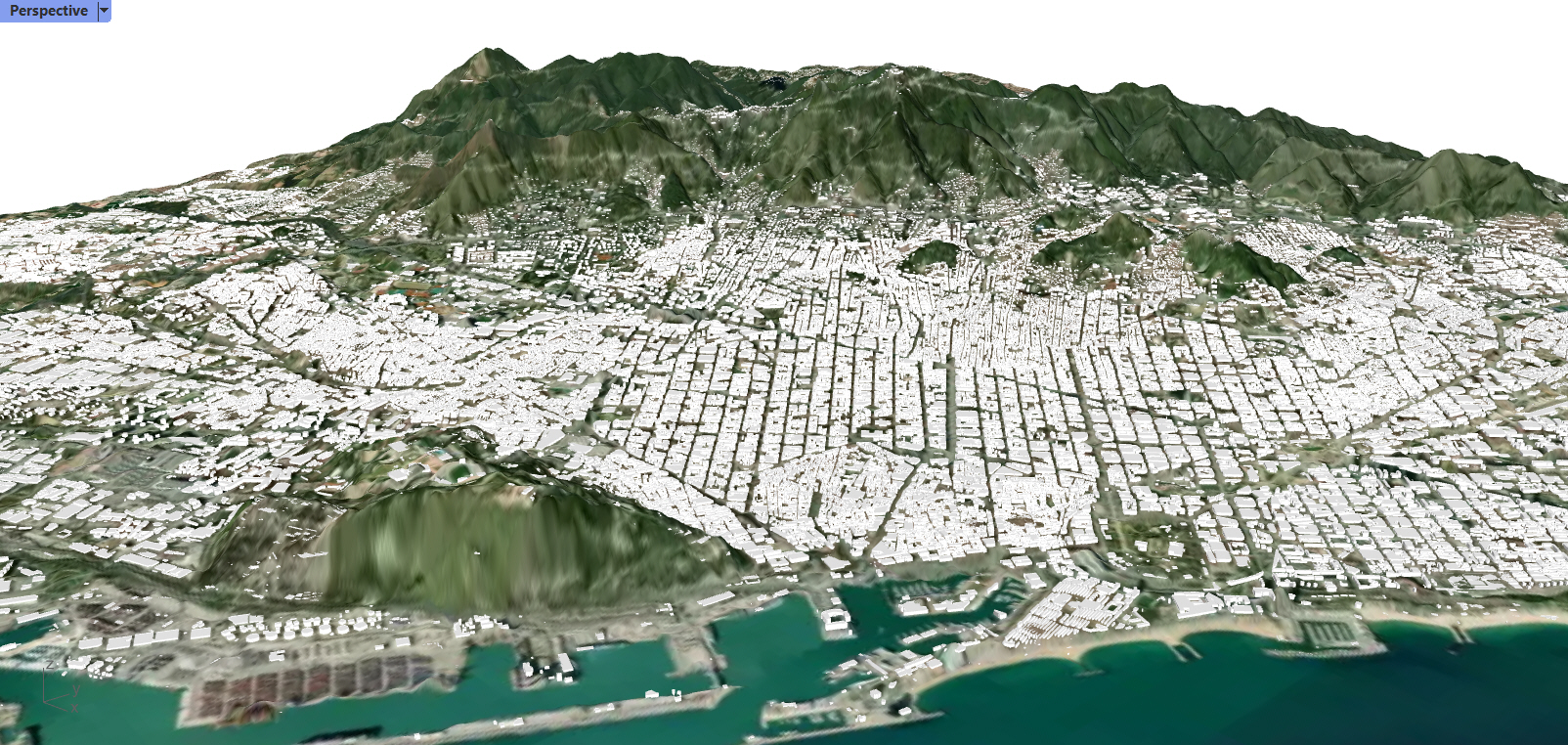
Grasshopper is an incredibly versatile tool that in recent years has expanded into fields far beyond the origins in three-dimensional parametric design. One of these fields is that of GIS analysis, which has traditionally been approached through software such as QGIS. The advantages of Grasshopper and Rhinoceros3D over QGIS include the versatility and customisability of … Read more

INFOTO

Objective | Information from a Photo Photos are widely used to quickly capture context but are not easy to relate to spatial data. To remedy this challenge for users of 3D modeling software, we created a tool that integrates Python and Grasshopper to extract the location and time information from a photo and output variable … Read more