
IAAC’s Master in City & Technology (1 or 2-year program) is a unique program oriented towards redefining the analysis, planning, and design of twenty-first-century cities and beyond. The program offers expertise in the design of digitally enhanced, ecological and human-centered urban environments by intersecting the disciplines of urbanism and data science. Taking place in Barcelona, the capital of urbanism, the Master in City & Technology is training the professionals that city administrations, governments, industries, and communities need, to transform the urban environment in the era of big data.
Climate Responsive Urbanism
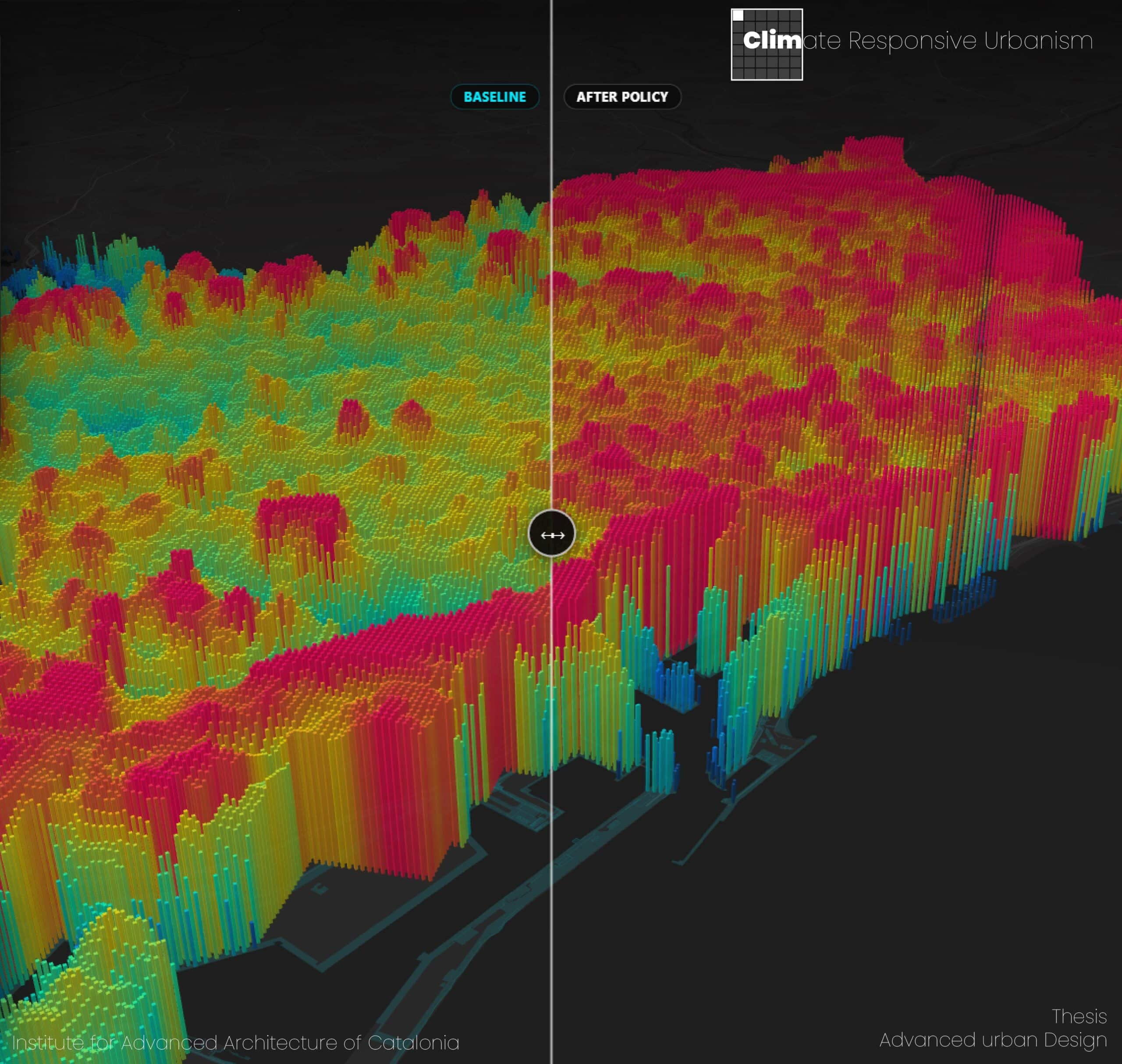
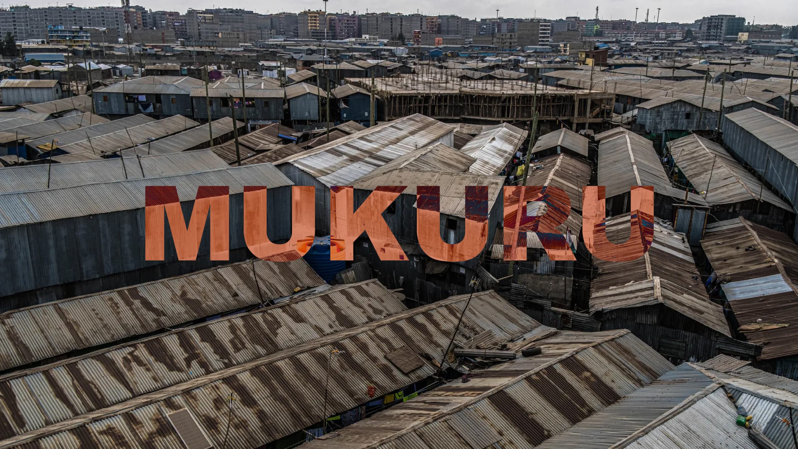
This thesis investigates how the semantic content of urban climate policy can be computationally coupled with high-resolution geospatial data to anticipate the climate consequences those policies set in motion. The work is situated in the metropolitan area of Barcelona, and the central proposition is that policy text far from being inert prescriptive language is itself … Read more
Beyond the Data Point: A Counter-Cartography of People on the Move through Mexico’s Vertical Border
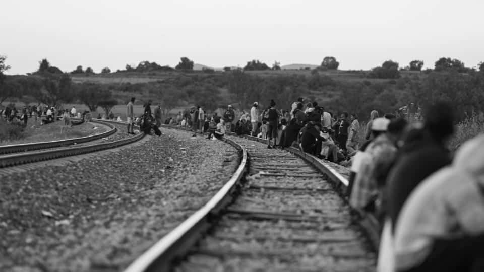
“Power is not something you possess, it is something you exercise”– Michel Foucault With this phrase by Michel Foucault, I would like to invite you, reader, to adopt a lens focused on power relations as you move through this blog post. The first power dynamic I would like to highlight is the asymmetrical relationship between … Read more
Carbon as [hyperobject]
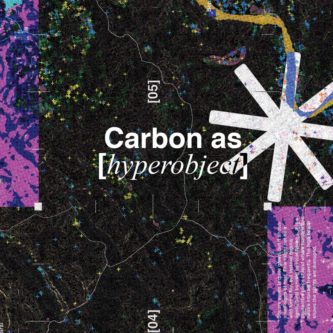
Vulnerability-adjusted carbon sequestration for more [actionable land]. Current climate mitigation treats carbon sequestration as a static stock: it counts the biomass a landscape holds and rewards storing more. Yet under fire and drought, the densest biomass is lost first, turning a carbon sink into a source. This thesis develops vulnerability-adjusted carbon sequestration. Working across a … Read more
SAND MATTERS
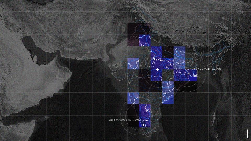
– A satellite based platform for detecting sand mining across India Sand is the most extracted solid material on Earth, yet it remains one of the least regulated. In India, where rapid urbanisation drives relentless construction demand, river sand extraction has escalated into a crisis of ecological damage, governance failure, and organised crime. Riverbeds are … Read more
Urban Grid Transition: Mobility Strategies for Tourists and Locals’ Coexistence
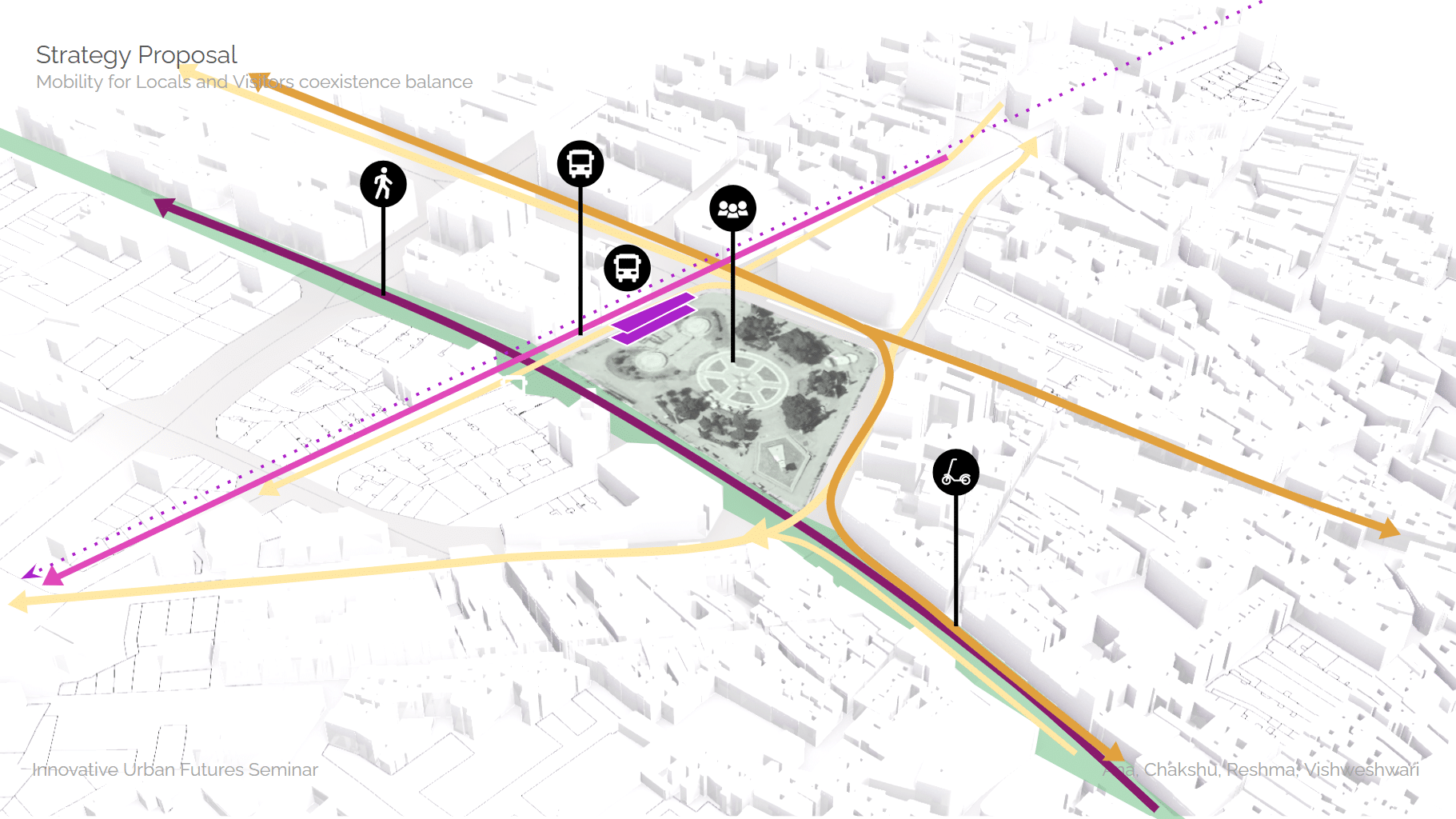
Mobility when Tourism outgrows the City Barcelona is the 10th most visited city in the world. In 2024, it received approximately 15.6 million tourists – nearly nine times its resident population of 1.7 million. The issue is not tourism itself. Barcelona’s economy depends on it, and the city’s cultural richness is inseparable from its global … Read more
The Street As Living Pharmacy
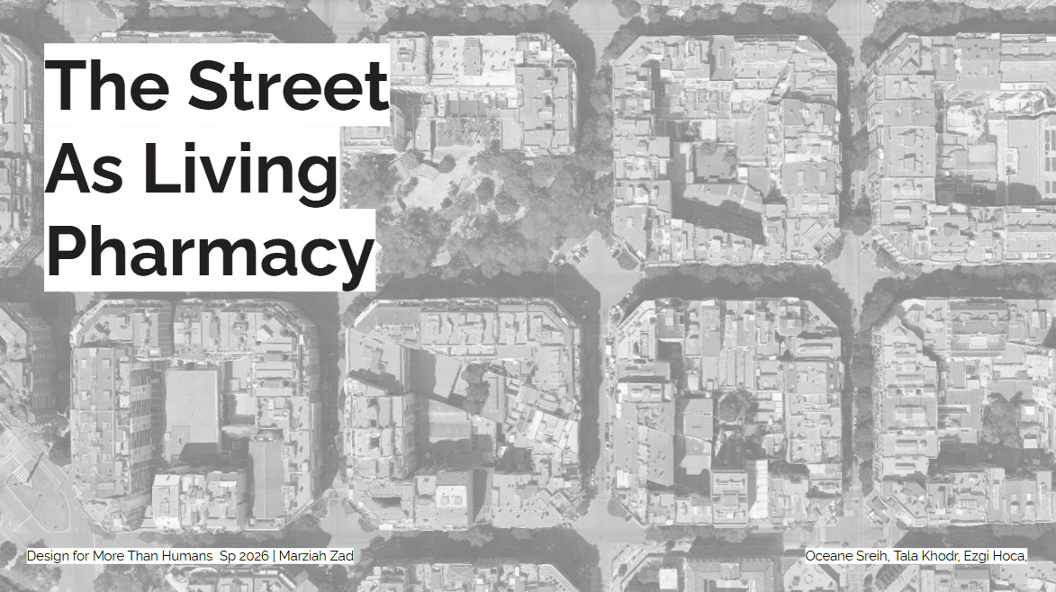
What is an apothecary? The word comes from Greek. Apothēkē — it means storehouse. An apothecary is a place where you grow plants, prepare them, and share them as medicine. This tradition goes back thousands of years until the 19th century, when industrial pharmacy replaced it and the knowledge was lost. Today, we’re bringing it … Read more
Blue Edge
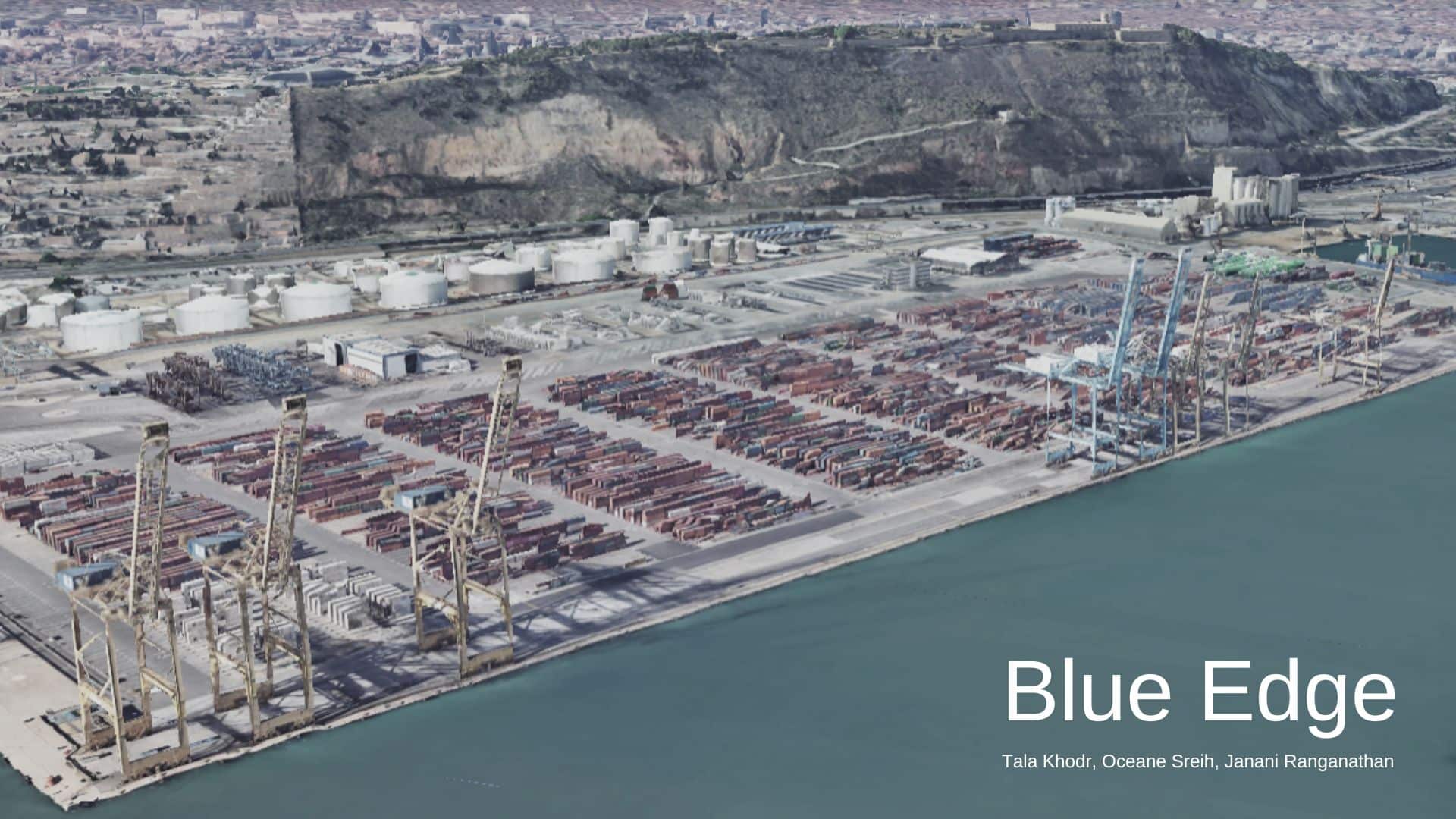
-A public seafront reclaimed from the port, built on what already exists. Blue Edge proposes transforming a former container terminal in the Port of Barcelona into the city’s first publicly accessible southern waterfront with the focus on the transport system that connects this site with the rest of the city The site sits directly south … Read more
Food Systems Under Attack
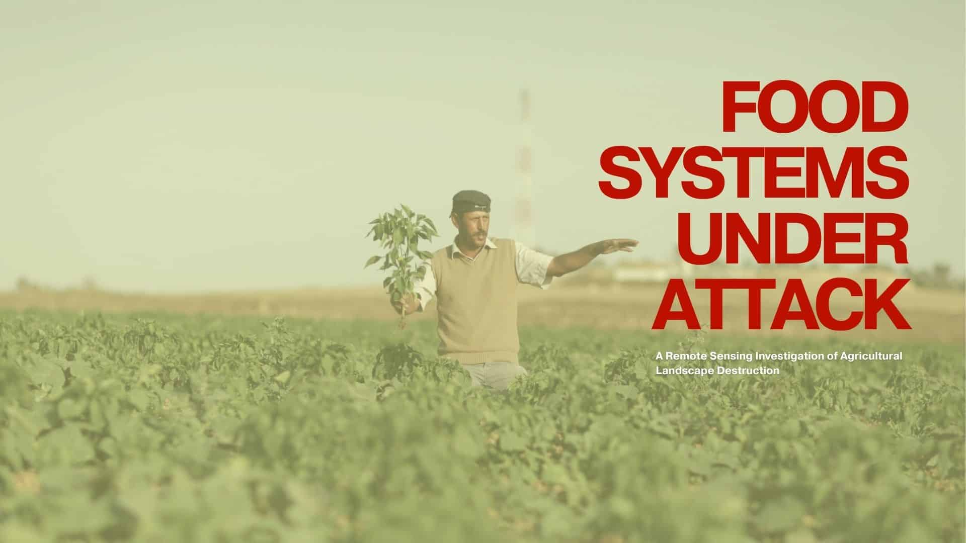
Agriculture is not simply another economic sector. It is the foundation of food security, livelihoods and social stability. Yet in many conflict zones, agricultural landscapes are systematically damaged through bombardment, infrastructure collapse, restricted access to farmland, and disruption of water systems. While urban destruction is often visible and extensively documented, the destruction of food-producing landscapes … Read more
Ciutat Nova Franca
Barcelona is a city that faces many physical limitations to it’s expansion as a metropolis-the mountains contain development within them and the sea borders its other side. For the past 15 years, it has been struggling with an immense wave of tourism that has displaced locals from affordable housing in popular areas and historic neighborhoods … Read more
Barcelona’s Nexus?
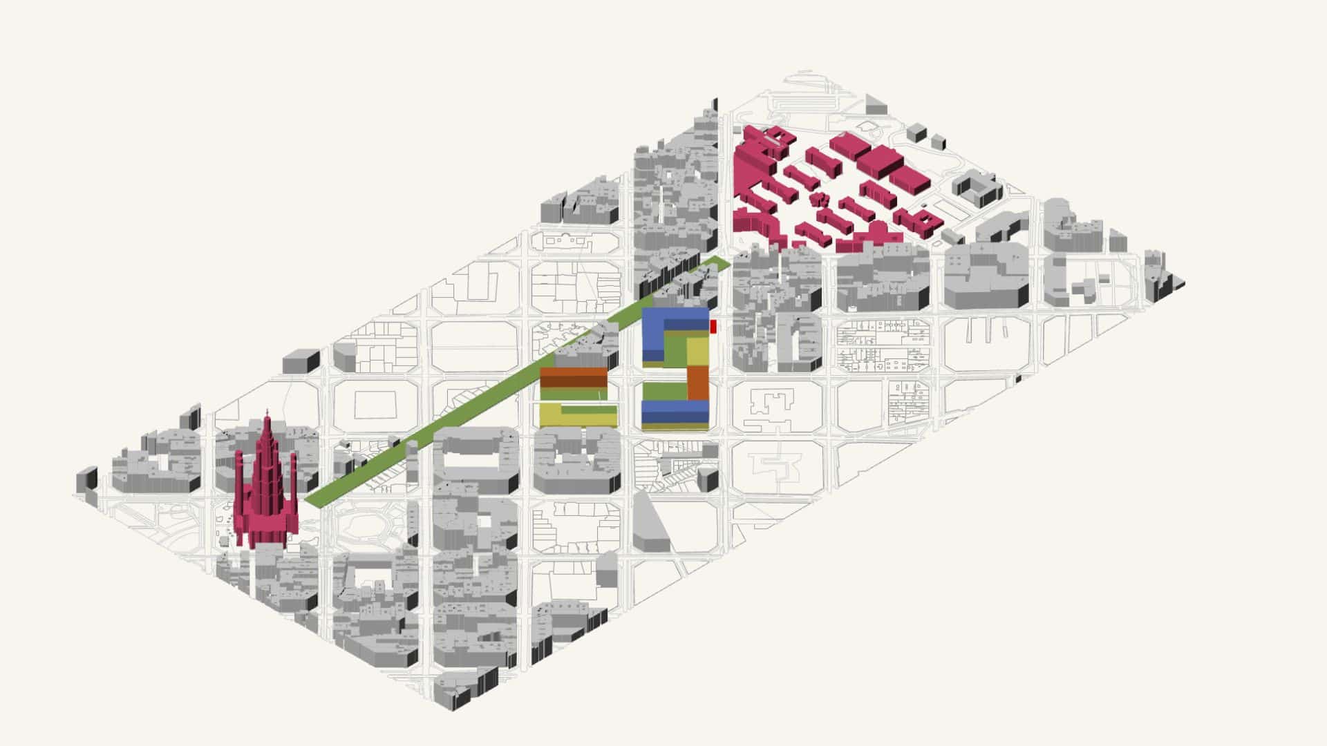
How does a world-class shopping destination integrate into one of Europe’s densest urban grids without destroying it? This project interrogates Barcelona’s proposed destination mall near La Sagrada Familia originally conceived at 150,000m² with 6,000 car parking spaces and redefines it as a 100,000m² precinct with radically reduced vehicle dependency. Through a three-pillar spatial methodology examining … Read more
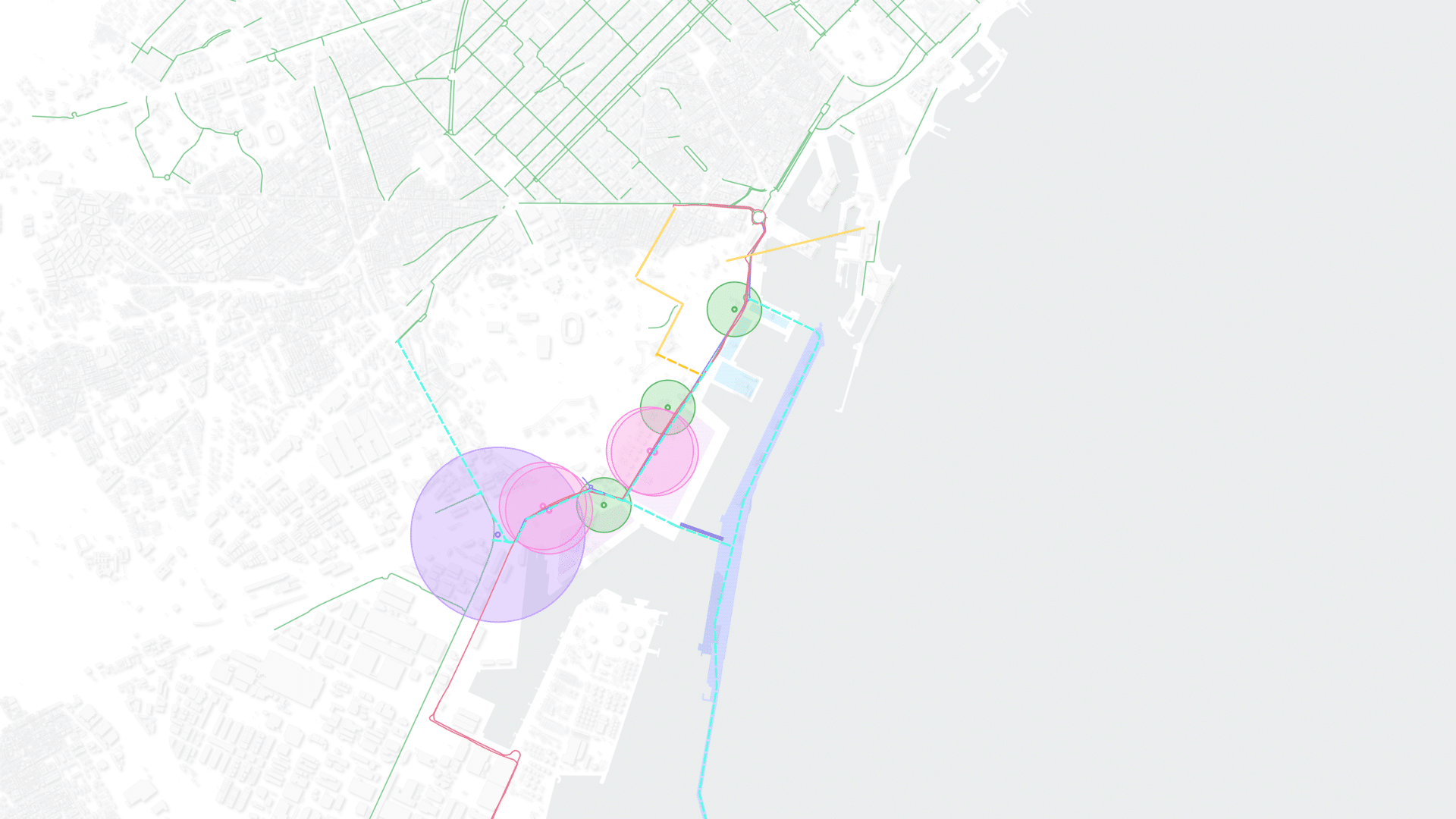
Reconnecting the Port
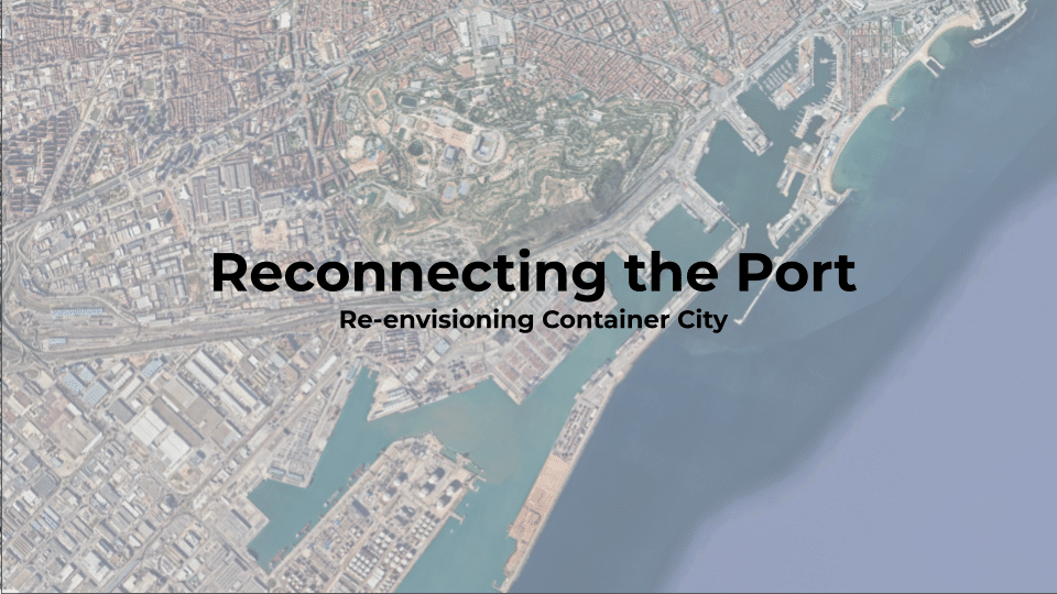
Re-envisioning Container City One of Barcelona’s most strategically located waterfront areas, the container port south of Montjuïc, remains largely disconnected from the inner city. As the city explores the possibility of relocating portions of its container operations in this speculative project and transforming this industrial landscape into a mixed-use district, mobility becomes a more pertinent … Read more
The Agariyas of Gujarat : The Weight of White Gold
From Afar 2nd Term Salt is Essential Salt is a fundamental element of human and animal physiology. The body cannot produce all the sodium and chloride it needs on its own, so it depends on a constant dietary intake. Sodium and chloride regulate nerve signaling, muscle contractions, fluid balance, and blood pressure, and they are … Read more
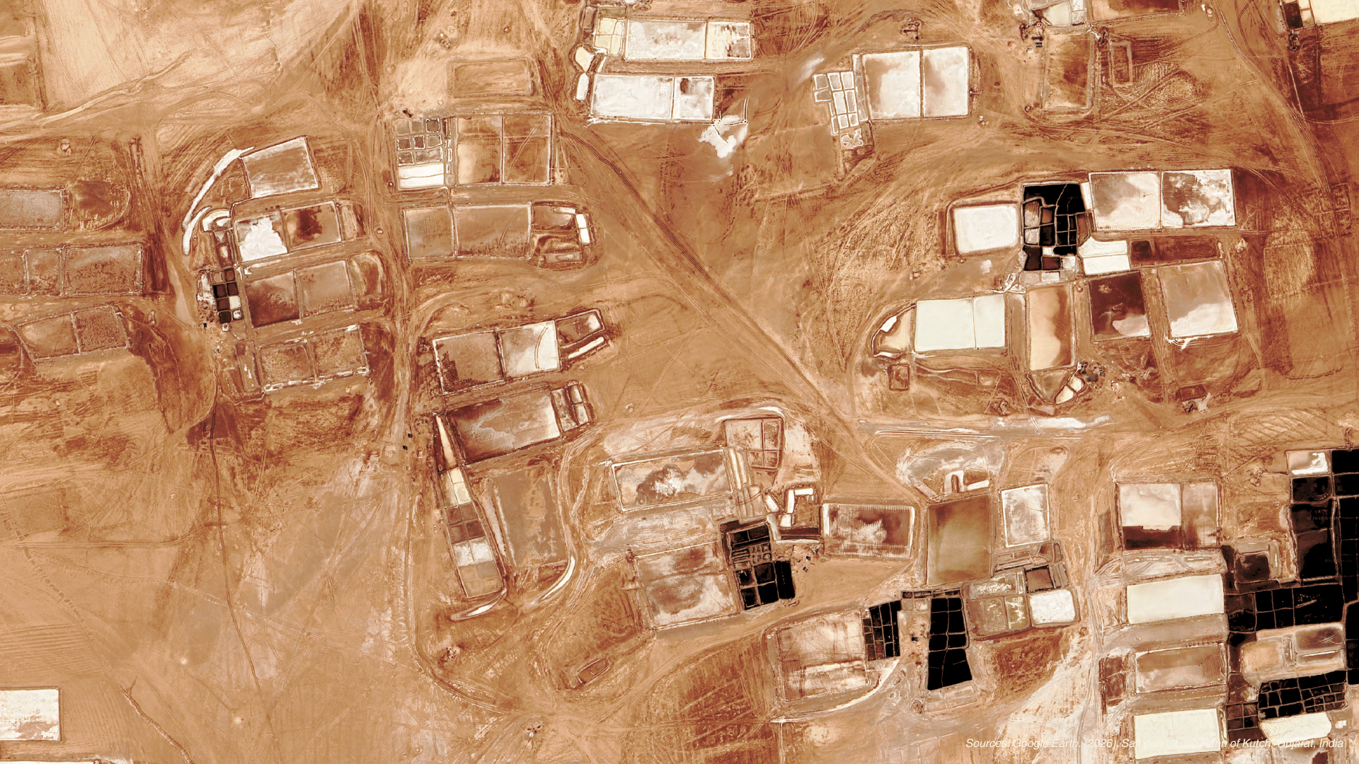
Who pays the price for India’s solar transition?
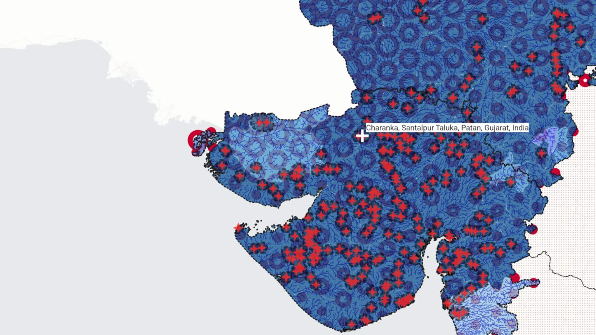
At what and whose cost does India’s solar transition operate? Mapping the unseen costs of solar expansion across resource-scarce landscapes and vulnerable populations. India has seen an accelerated transition toward renewable energy, starting on 2010 and today the solar farms represent an extension of aprox 3,156 square kilometres of panels, and infrastructure. Vast landscapes are … Read more
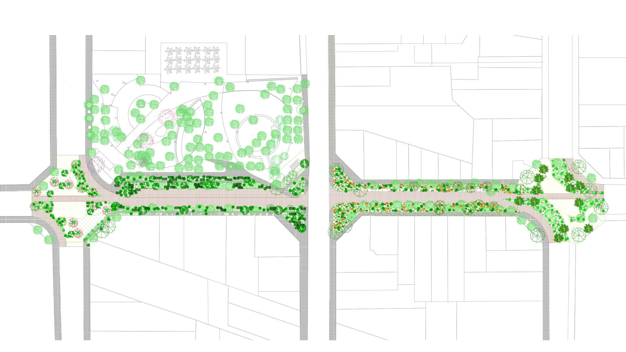
WING IT – Microclimatic Corridor For Non Humans
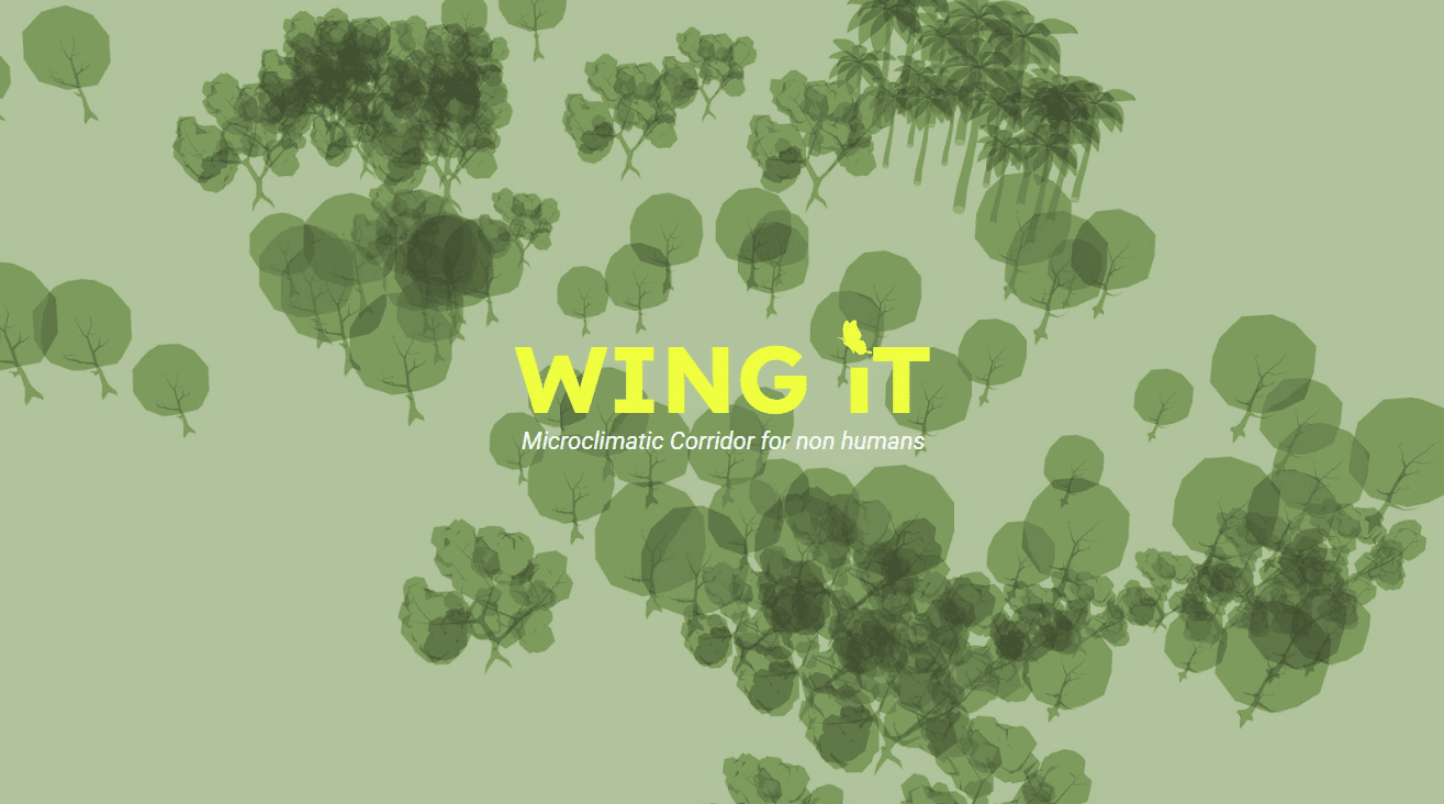
Microclimatic Corridor is a proposal for the transformation of Carrer de Rocafort into a climate shelter for non-human urban life. Responding to rising temperatures, biodiversity decline, and the urban heat island effect in Barcelona, the project extends the ecological and microclimatic performance of Jardins de Montserrat into the surrounding street network Climate change as a … Read more
Nature to Culture
What would happen if our landscapes got inspired in Culture, tradition and seasonality reflecting the core and inner Catalan escence? How could our landscapes being changed? but most important how could we do this? Introduction We began with a simple reframing: instead of adding nature on top of the streetscape, we asked how Catalan culture … Read more
