IAAC’s Master in City & Technology (1 or 2-year program) is a unique program oriented towards redefining the analysis, planning, and design of twenty-first-century cities and beyond. The program offers expertise in the design of digitally enhanced, ecological and human-centered urban environments by intersecting the disciplines of urbanism and data science. Taking place in Barcelona, the capital of urbanism, the Master in City & Technology is training the professionals that city administrations, governments, industries, and communities need, to transform the urban environment in the era of big data.


Filters
Course

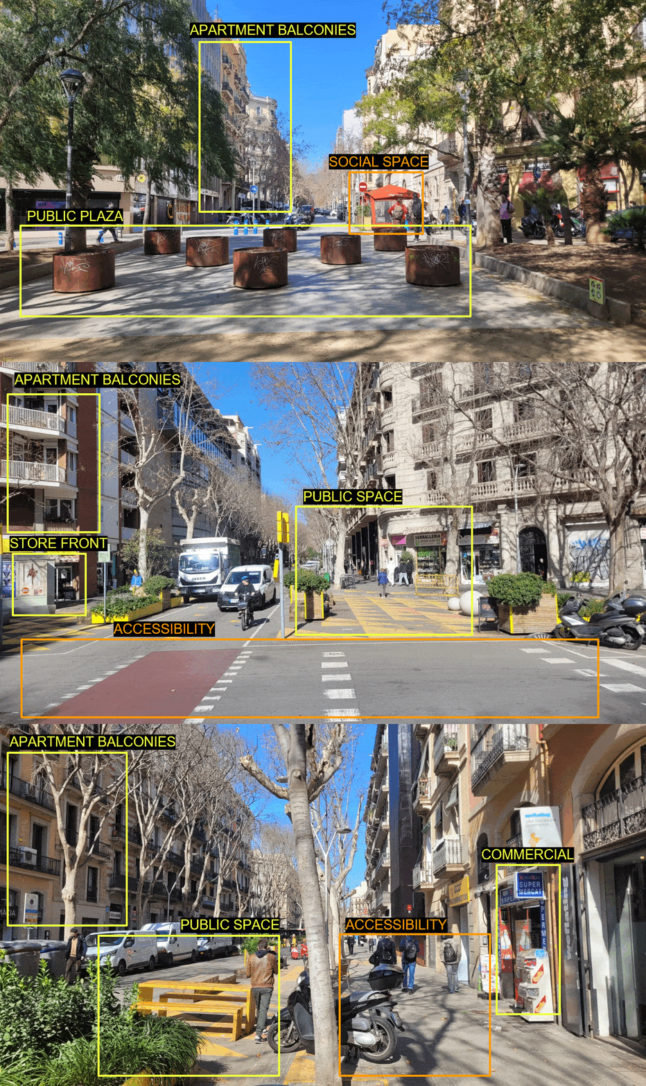
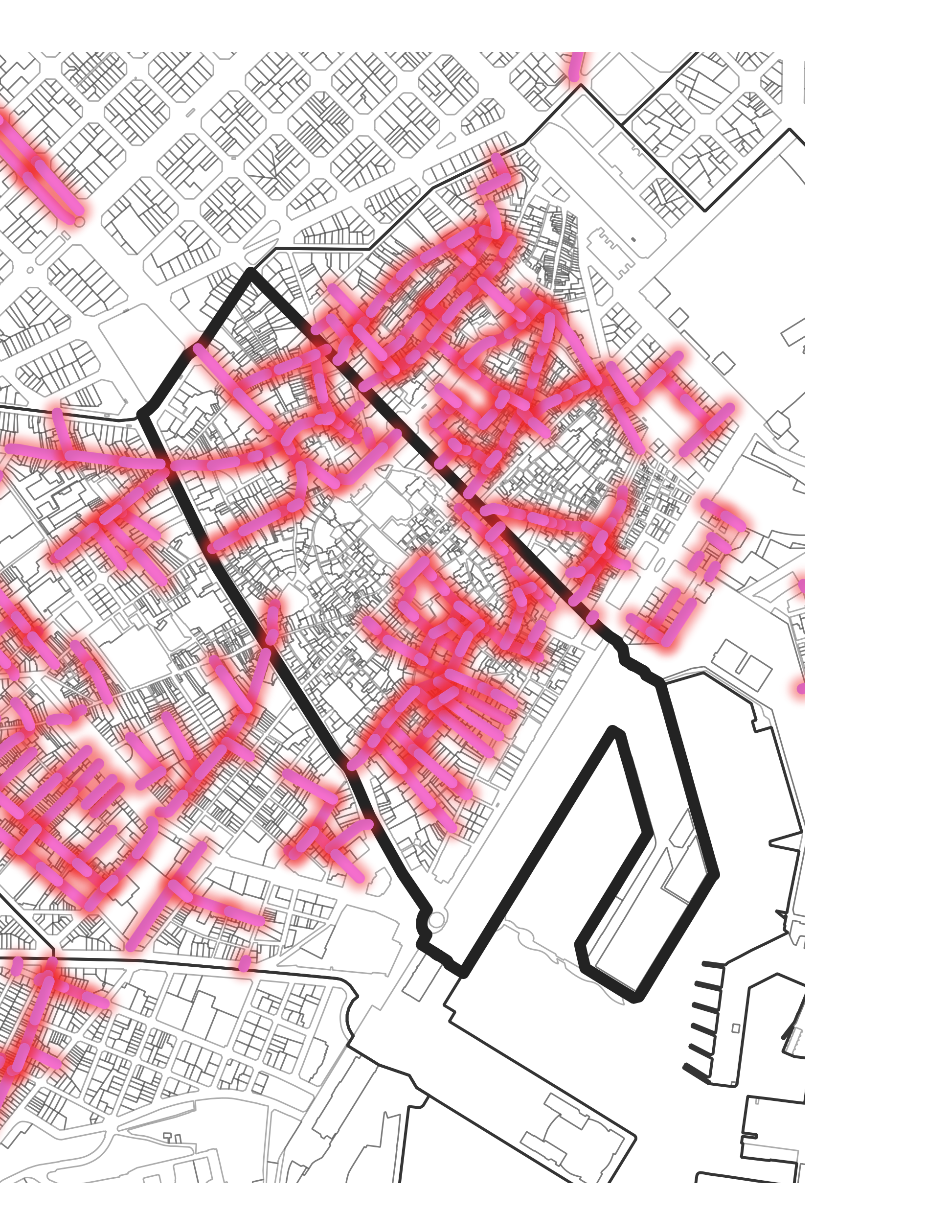
The Gòtic Quarter: A Sustainable Economic Model or Not?

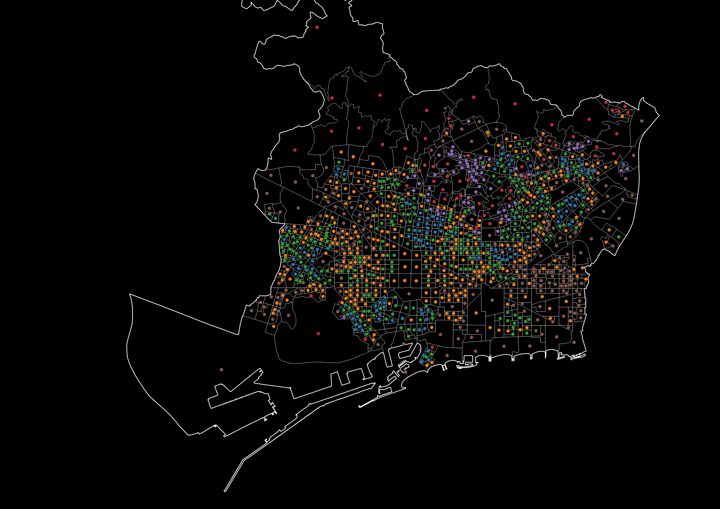
Located in the heart of Barcelona, where the history of the city began, the Gòtic Quarter is an iconic neighborhood, we sought to understand its complex dynamics and whether its economic model could truly be called sustainable. From Roman foundations to bustling contemporary streets, the Gòtic Quarter embodies a story of transformation. But behind its … Read more

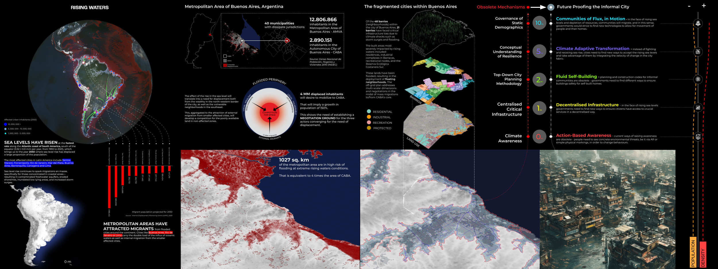
Rising Waters

The year is 2100. Latin America is sinking. Due to global warming the polar icecaps have almost melted completely. In addition the increased temperature has caused the global water mass to expand by almost 1%. As a consequence sea levels are rising at unprecedented levels globally. The coastline in South America is hard-hit by these … Read more

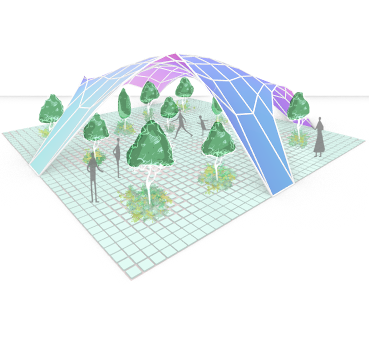
Computing Movements of an Urban Square

The research project imagined a tile of a underused urban plaza as a square-based petri dish to test the movement of points within the tiled surface. By defining a number of points within the geometry of the area, the density of tiles would decrease, relative to the closest point. The membrane between the ground plane … Read more

Identifying formal housing projects, New Delhi

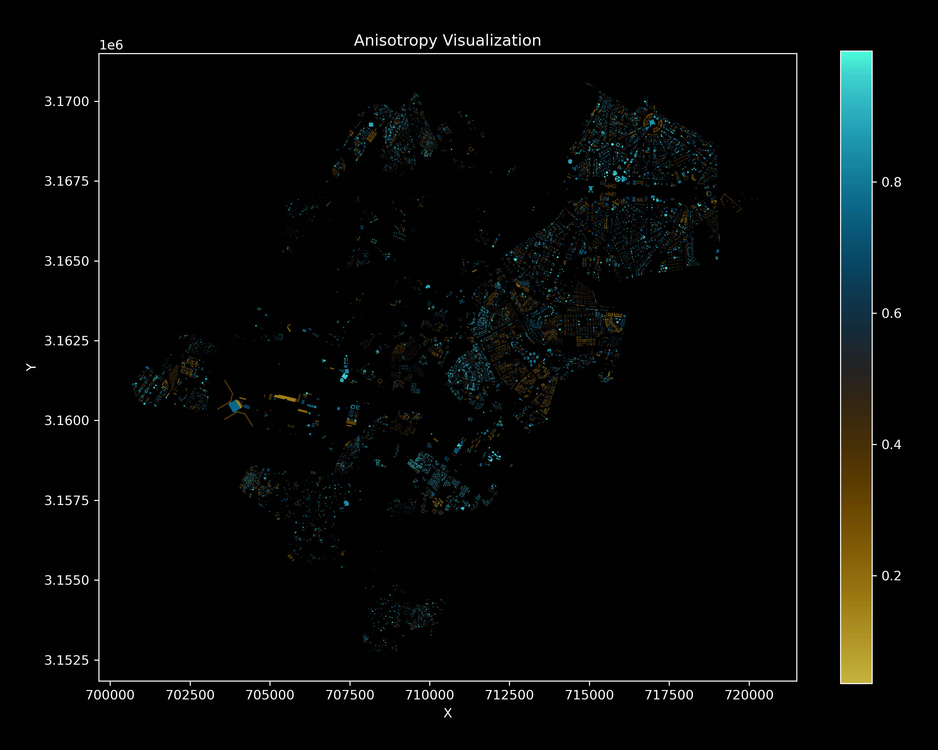
During the Internet of Building studio we developed a strategy of predicting the typologies of buildings in New Delhi, India by data, using algorithmic approaches as KMEANS, DBSCAN and PCA aswell a a heuristig rule-set. The objective of this project is to predict if a building in New Delhi is part of a formal settlement … Read more

HANDS OVER BEIRUT and GREEN’IN CORRIDORS

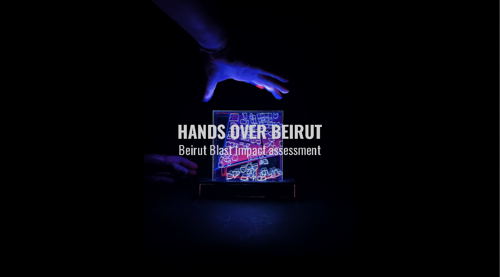
HANDS OVER BEIRUT Beirut Blast impact assessment visualization Neighborhood: Mar Mikhael (Beirut port)/ Gemmayze – Bashoura – Ashrafieh The Area chosen has received the most impact and visualization of the plot of land where buildings got damaged but on a different scale is relevant to understand the shock wave repartition. To physically be able to … Read more