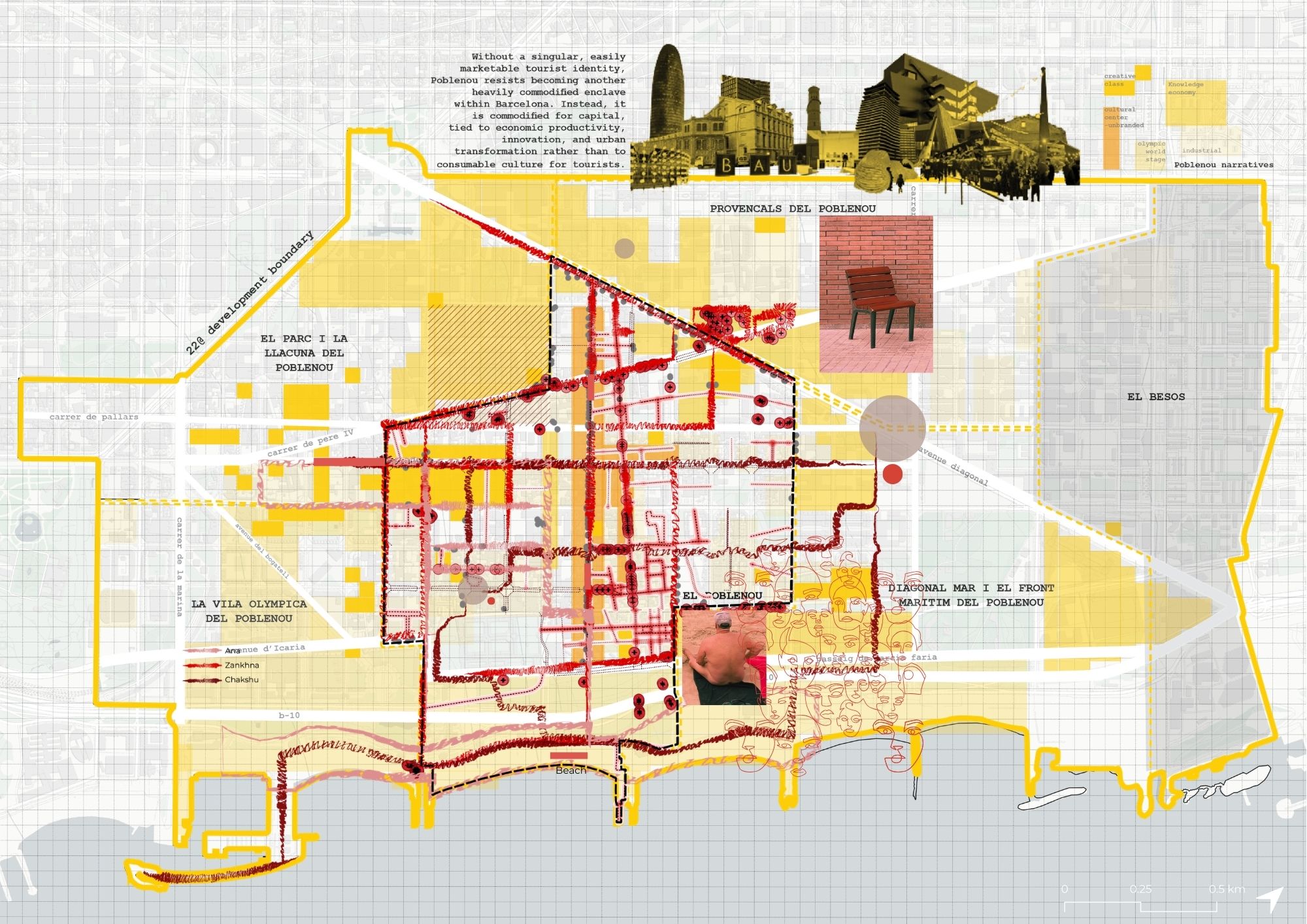
EVERYDAY MOBILITY NETWORKS

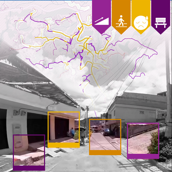
Children’s journey to school, in Bosa Apogeo, Colombia INTRO Bogotá’s growth over the last two decades has been dramatic. The metropolitan area now holds close to 11.8 million inhabitants — a 51% increase in just 15 years. That growth has not been evenly distributed across the city. The city currently ranks 7th in the world … Read more