Sant Antoni Passport
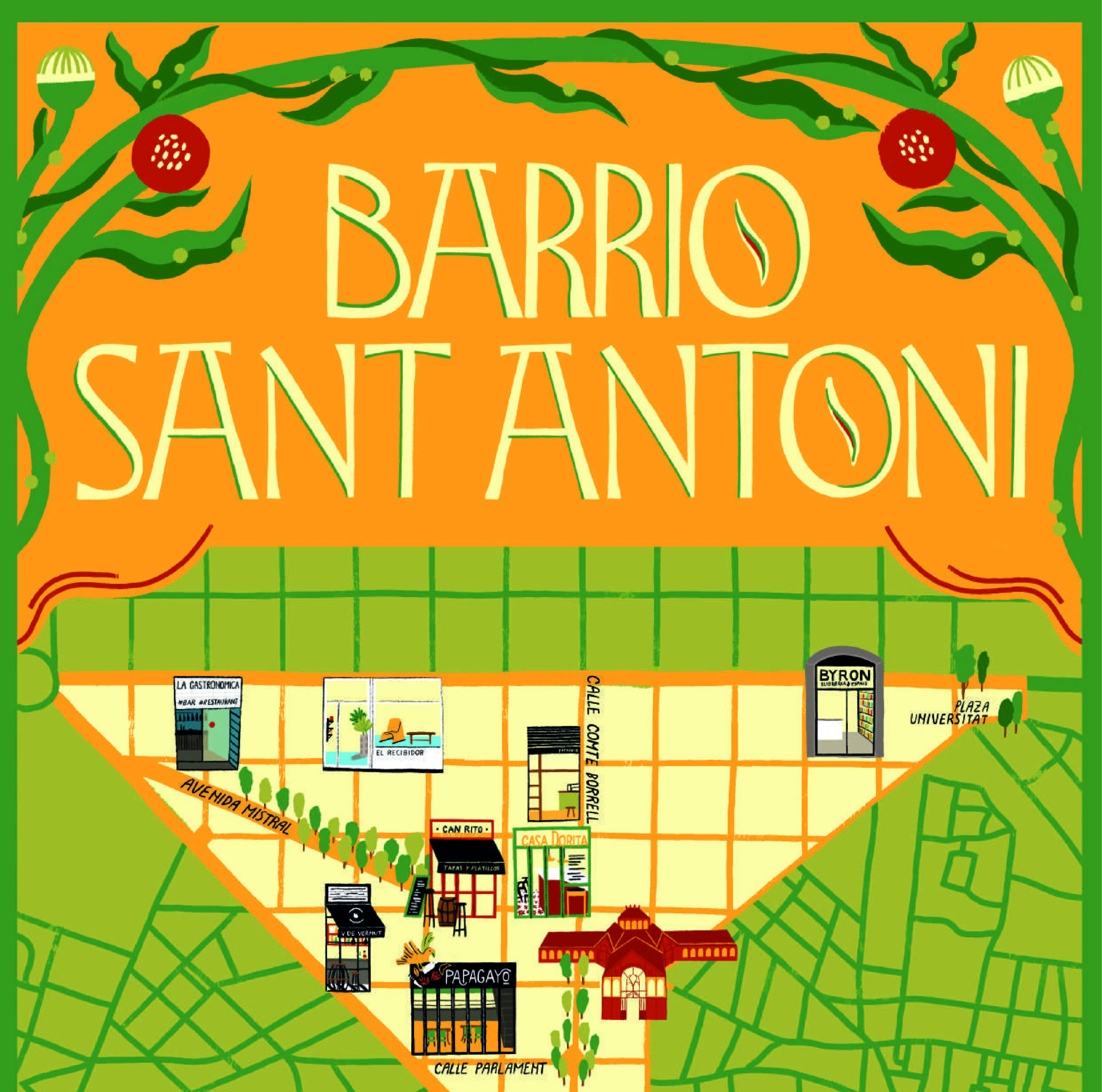
Urban spaces are not just places to live and work—they are playgrounds for social interaction, historical storytelling, and cultural engagement. As part of the IAAC’s Serious Games Seminar, our team explored Sant Antoni, Barcelona, to design playful interventions that connect the community to its past, present, and future. Our approach combined game design with urban … Read more