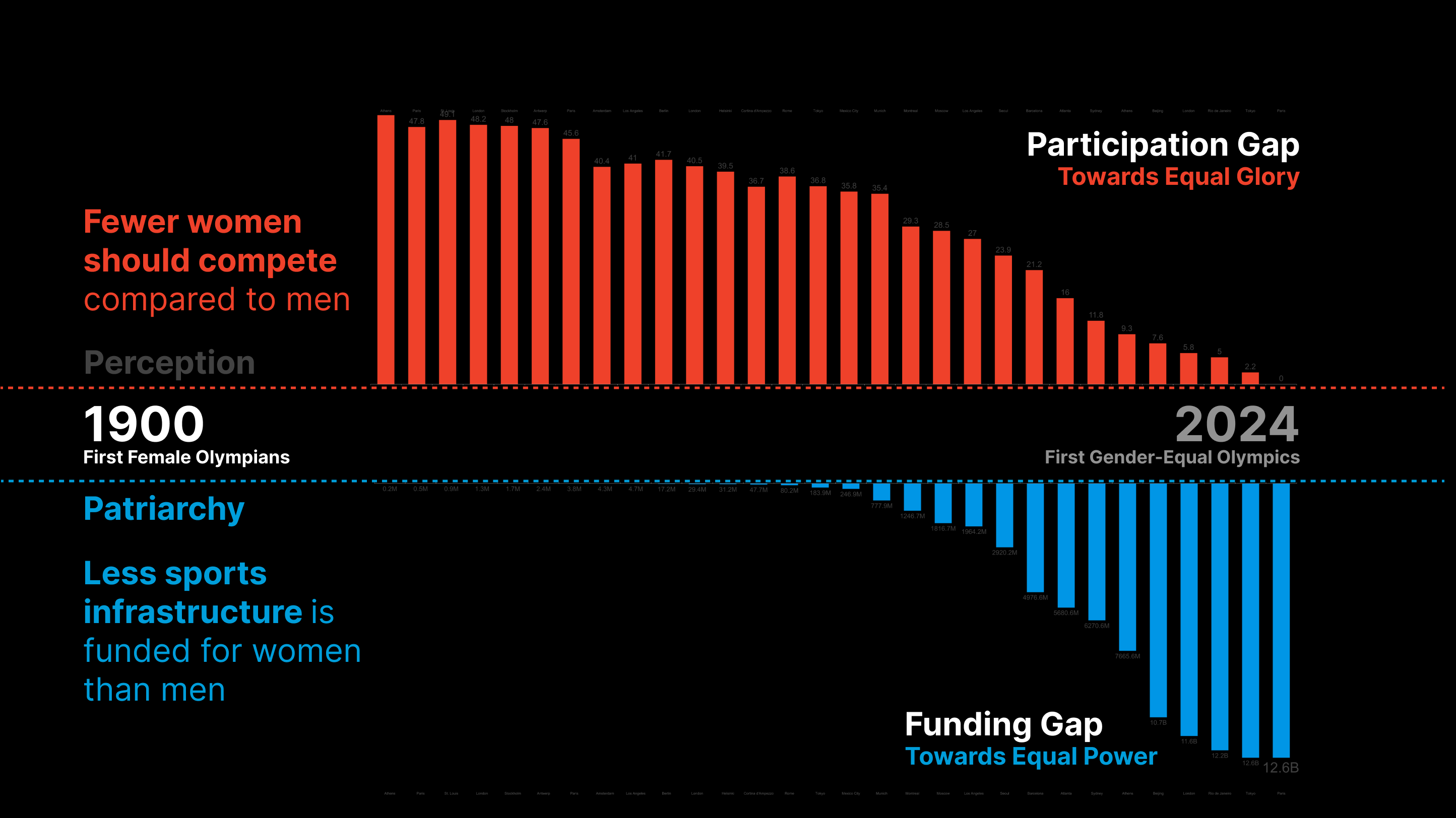
Informal Eyes in the Street – T1: Data Gathering
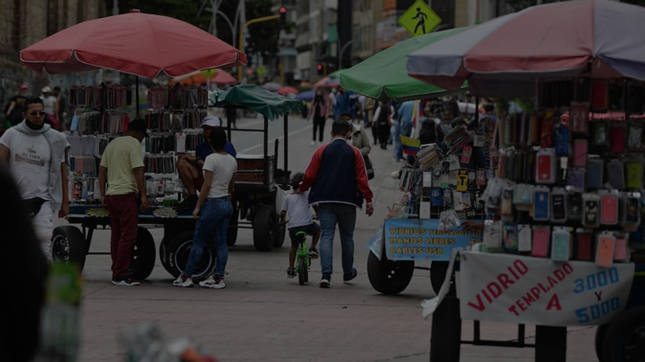
Context Bogota is the capital of Colombia. Both the perception of unsafety of its inhabitants as well as the amount of urban crime have been rising over the last years, with over 70% of the population feeling unsafe, and more than 120 thousand theft victims in 2023. The local government response to this has mainly … Read more