Reclaiming Public [Space] – the decolonial future through the ideologies of the First Nations people of Australia.
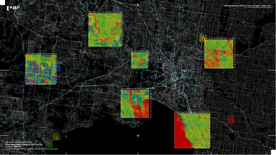
About This project investigates how colonial patterns of urban design in Footscray have historically shaped and continue to shape the experiences of mobility, vulnerability, and belonging among First Nations people. By tracing the spatial legacies of dispossession and infrastructural violence, the work critically maps how extractive logics have severed Indigenous connections to place. In response, … Read more