In contemporary urban planning, we often focus on the best parts of a city. However, true transformation begins by identifying the most vulnerable areas. We have recently developed a parametric model in Grasshopper to analyse the Gràcia District in Barcelona, utilizing a worst-case scenario routing logic to pinpoint exactly where new Green Axes should be implemented.
The core of this study is a multi-criteria urban habitability analysis. Instead of finding the shortest or most pleasant path between two parks, the algorithm is designed to find the most unfavourable routes in terms of environmental health. By identifying the streets with the highest pollution and noise, we can scientifically determine the optimal locations for urban intervention and the creation of green corridors.
The Methodology: How was it done?
The workflow integrates real-world data with algorithmic optimization:
- Data Acquisition: OpenStreetMap (OSM) and the Urbano plugin to import the district’s geometry and metadata.
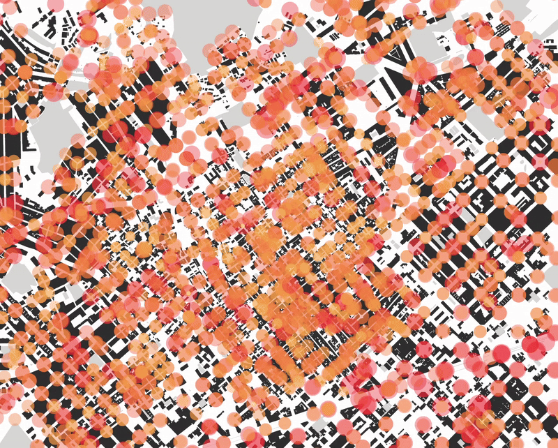
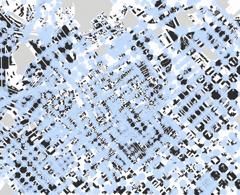
- Environmental Mapping: layered data regarding green spaces, air quality (pollutant concentrations), and noise pollution (acoustic decibel levels) across the street network.
- Adverse Routing Logic: Using a highest-cost path find, the model connects two major parks by forcing the route through the most degraded urban environments.
Three Scenarios for Urban Transformation
To understand the complexity of the district, the analysis explores three distinct worst routes:
1. The Peak Pollution Route (Air Quality)
This route prioritizes streets with the highest concentrations of CO 2 and particulate matter. By mapping this path, we identify the “gray corridors” where pedestrians are most exposed to harmful emissions.
2. The High-Decibel Route (Noise Pollution)
This analysis identifies the loudest segments of the district, where transit noise exceeds healthy limits. It highlights the areas where “acoustic comfort” is not ideal.
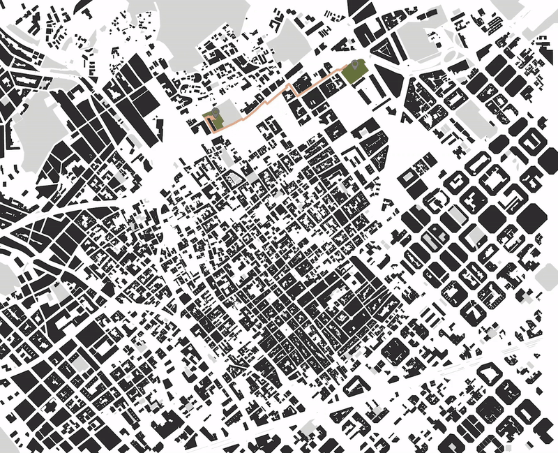
3. The Combined Environmental Stress Route (Multicriteria)
This final scenario weighs both noise and air quality. The resulting path represents the most hostile environment in Gràcia, the area with the greatest “habitability debt.”
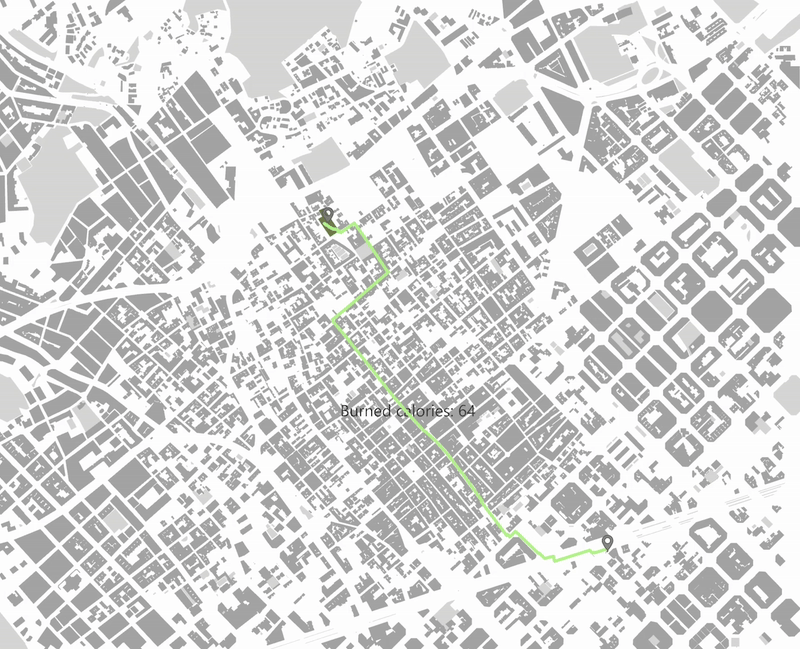
The Human Element
To link urban health with personal well-being, the model includes a functional layer: Calorie Calculation. By inputting the user’s weight, the algorithm calculates the energy expenditure required to traverse these unfavourable routes. This connects the physical effort of the citizen with the environmental quality of the journey, quantifying the “human cost” of the urban trek.