Computational Design Seminar I | The Kring Facade
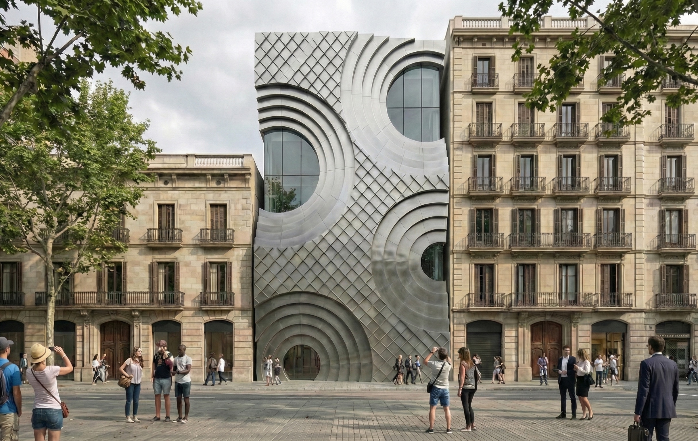
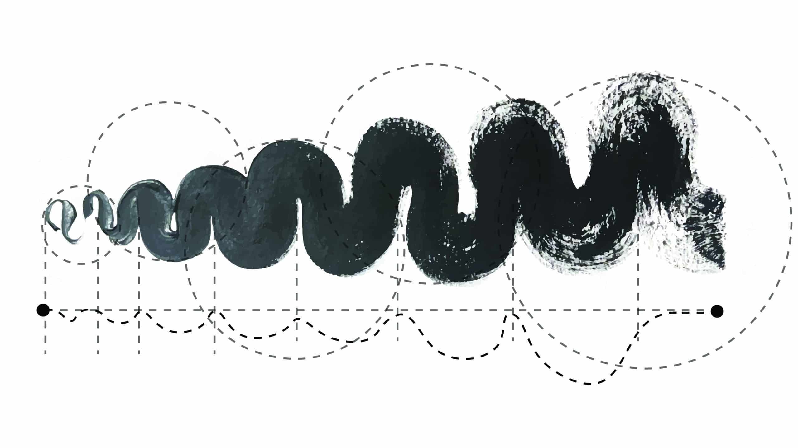
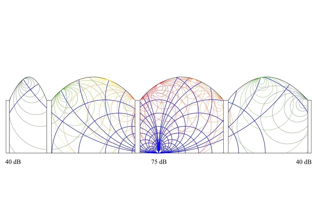
Referential work’s logics Our referential framework is the Kring Kumho Culture Complex in Seoul by Unsangdong Architects, a building defined by large circular recesses that function as urban windows. The design exploits these spaces to break the flat exterior, as ‘Kring’ means ‘Circle’ in Dutch. We developed a concentric propagation approach to translate this logic … Read more