Credits: City Intelligence Lab, Austrian Institute of Technology
Description
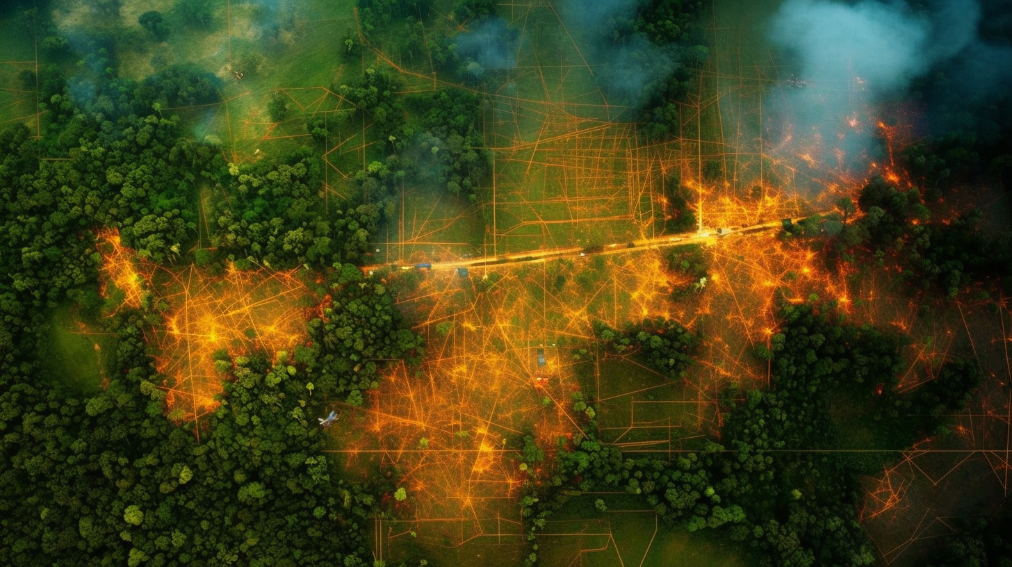
Artificial intelligence (AI) has permeated almost all facets of our digital and physical world. By now, it is a rarity to find an aspect of our day-to-day lives that has not been somehow influenced by an AI-driven technology. Even within the built environment, an industry that is known for its sluggish uptake of new technology, AI has been applied toward detecting anomalies in city-wide datasets, generating and optimizing urban morphologies, increasing the speed of onerous urban-scale microclimate simulations.
AI in Urbanism focuses on practical applications of AI within urban planning and design. Through method-driven pedagogies, this 7-week module is aimed at taking students with a basic understanding of machine learning, to applying deep learning algorithms to urban-scale issues. Students will learn to identify problems amenable for AI-driven intervention, develop and train AI models to gain hands- on intuitions about hyperparameter tuning, and build interprocess pipelines for deploying AI models locally.
Learning Objectives
The course starts with a brief introduction to machine learning and an overview on major breakthroughs in the field throughout the last few years. After a series of inputs on the basics of data, its pre processing and feature selection, we give a dense input of selected machine learning models including examples of their application in practice.
We will dive into two to three models in more depth, showing how to train and use them via python. Finally, the students will deploy their own micro-ml-app online using Hugingface Spaces.