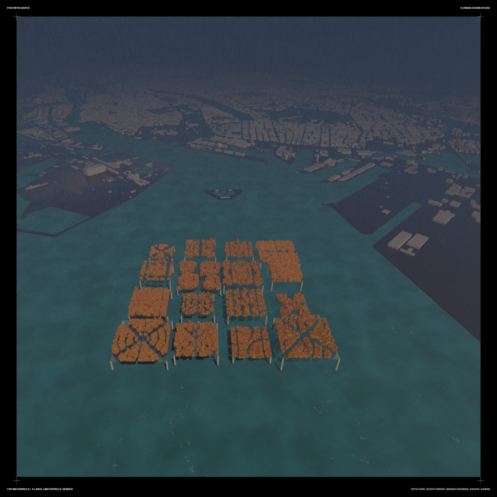
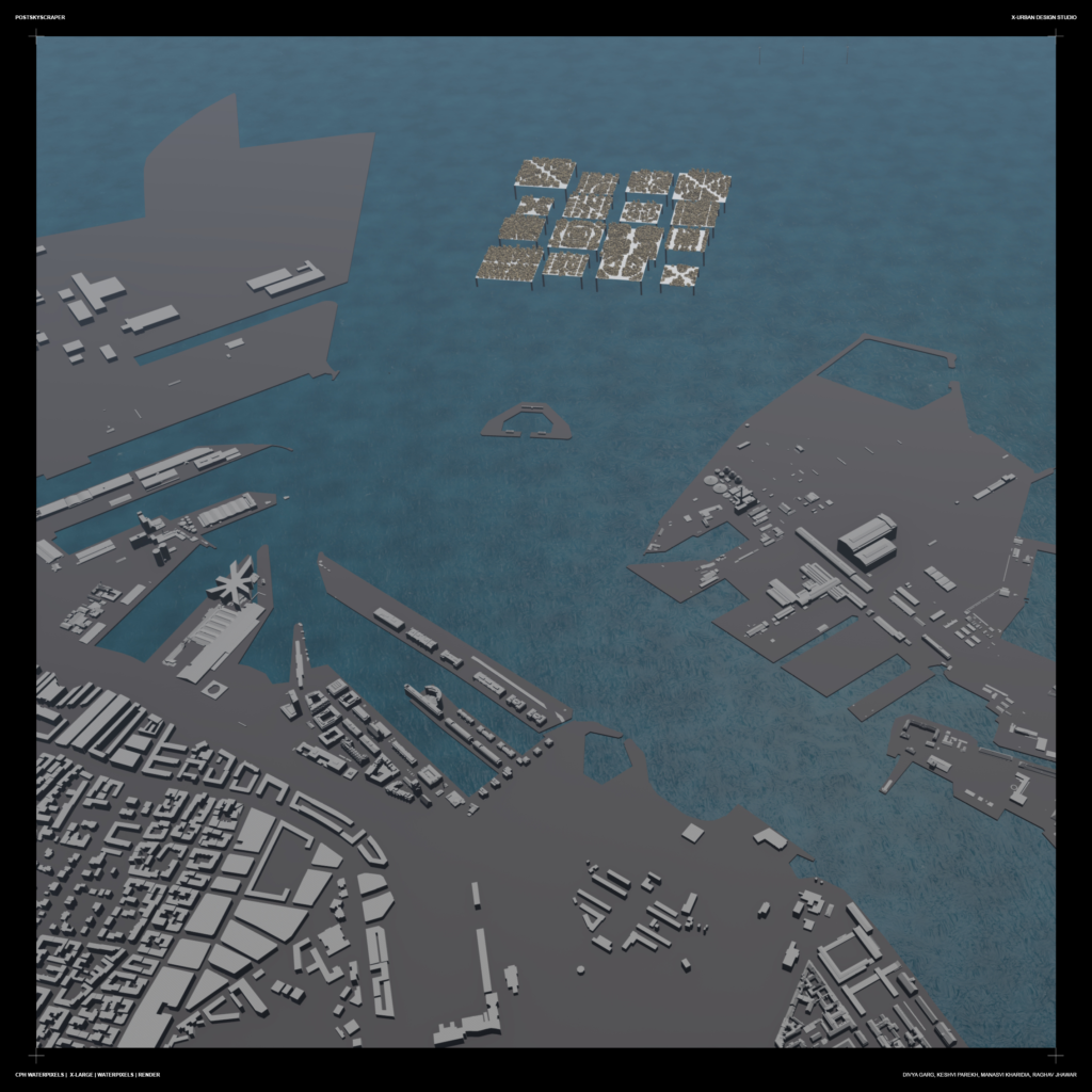
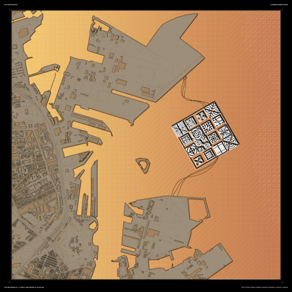
Waterpixels is a project challenging the traditional approach towards urban futures. It is a project located in Lynetteholm, Copenhagen. Taking into consideration the urban strategies and site analysis the project pertains to the current requirements of a storm barrier in Copenhagen. The following sheets show the process leading to the project.

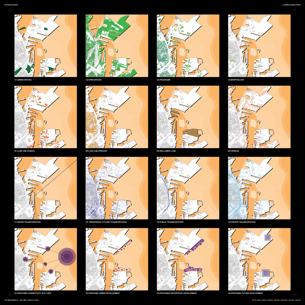
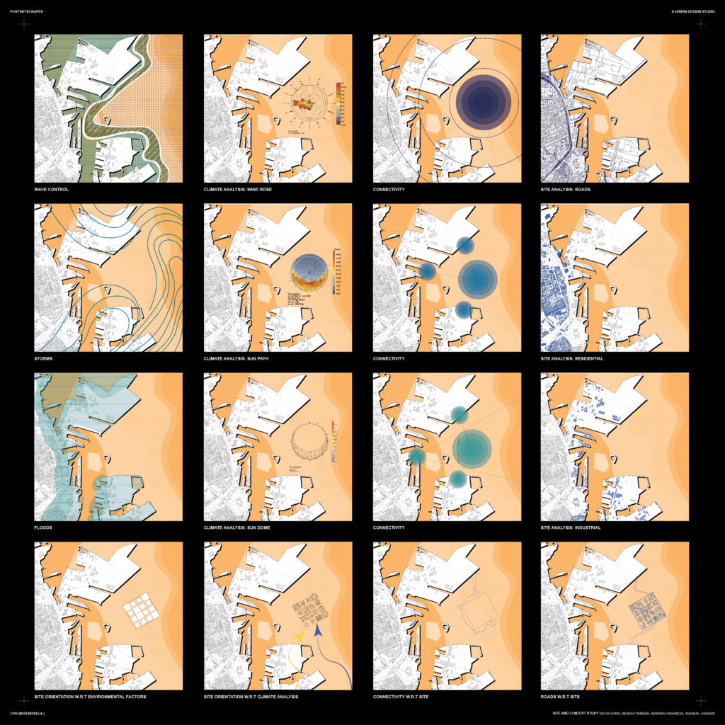
The followings sheets show the urban strategies and site analysis of Copenhagen:
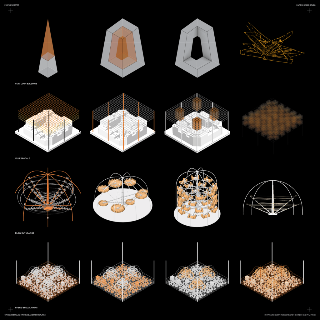
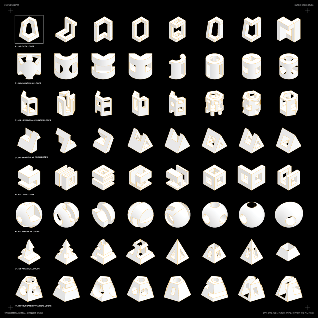
The modules incorporated as units in the project are taken from abbreviations of Loop Buildings. Loop buildings were chosen for this due its circular design and connections.
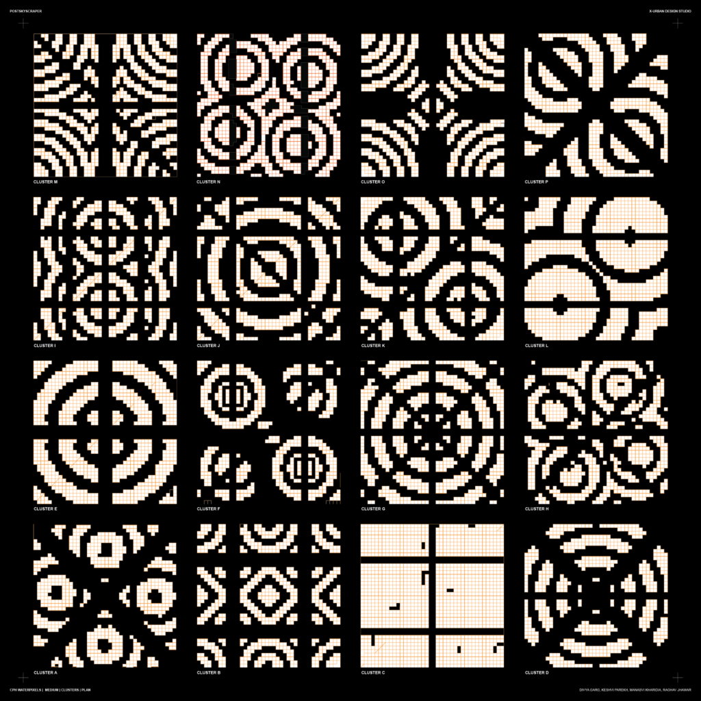
The modules were further placed into the design generated on grasshopper, optimized according to Copenhagen’s weather conditions and solar analysis.
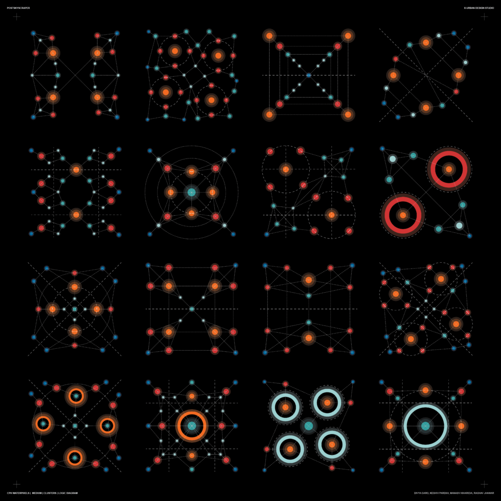
The site being in the middle of water, the connections between various neighborhoods and archipelagoes becomes extremely important. Waterpixels does not promote private transportation other than bicycles which are very important in Copenhagen and environmentally friendly .
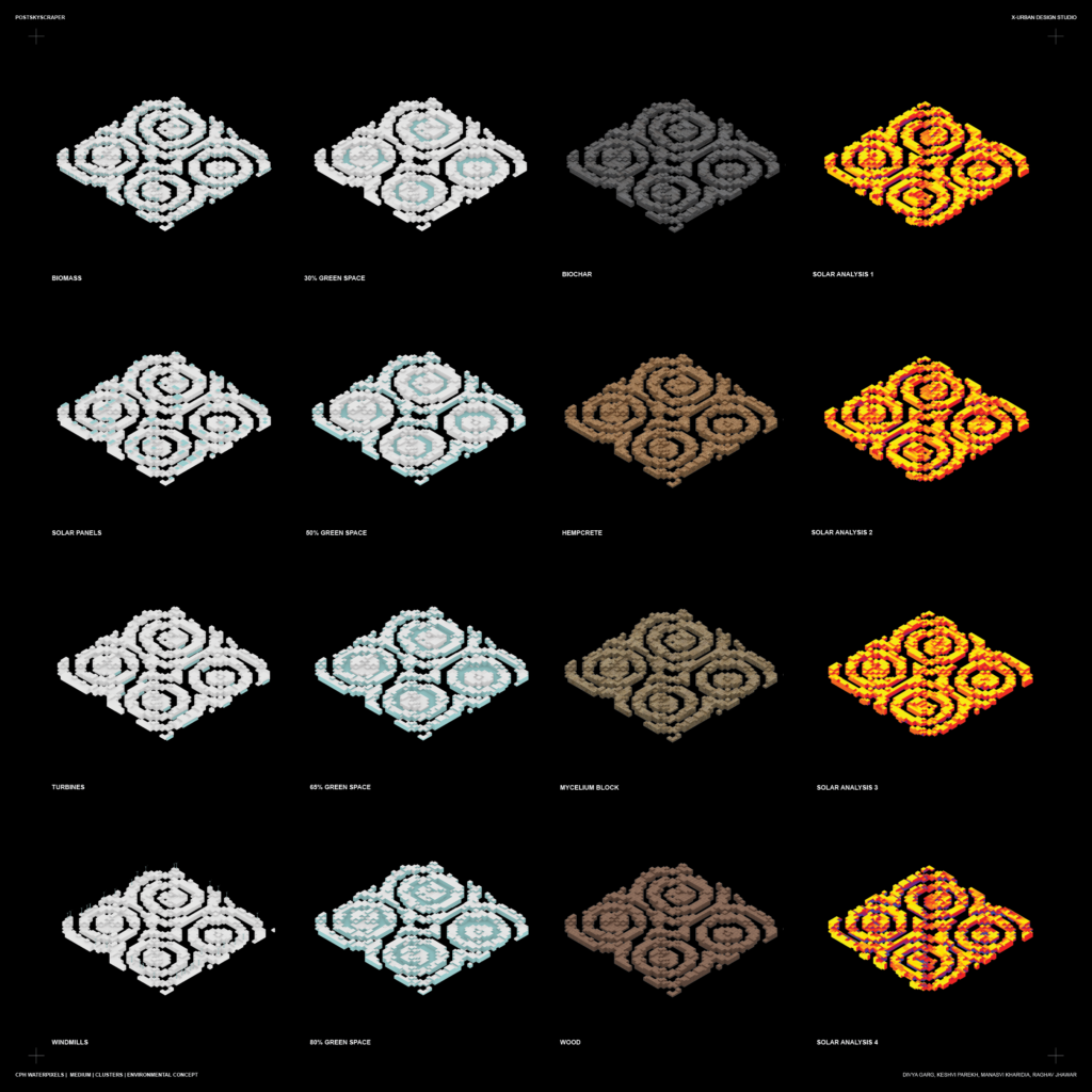
Sustainability was an important factor to look at while designing Waterpixels. The sheet below displays the various possibility of making Waterpixels sustainable.
The following sheets showcase the layouts various neighborhoods.
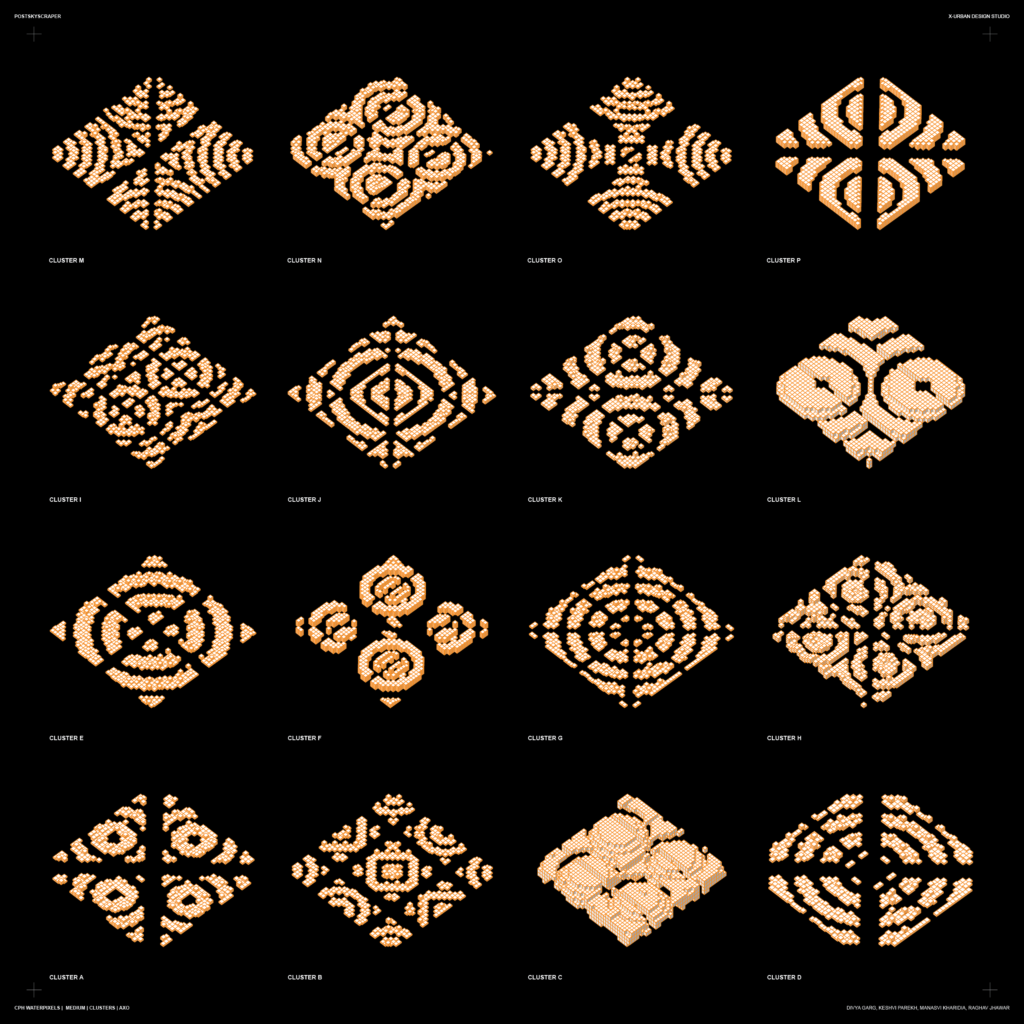
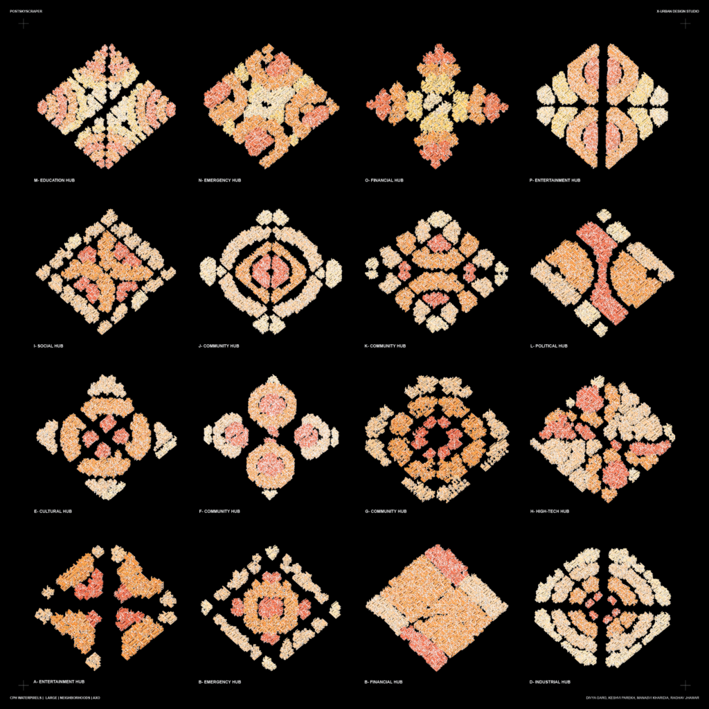
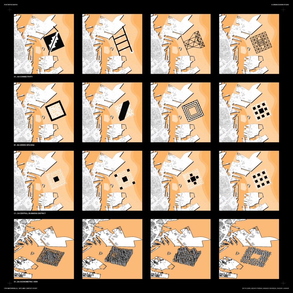
The following sheets display the connectivity, programs, green spaces and voids in various neighborhoods.
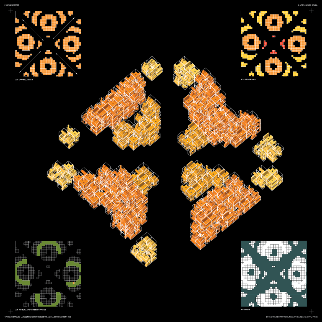
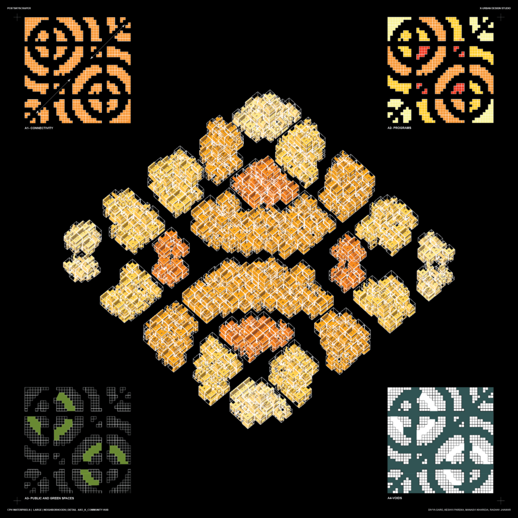
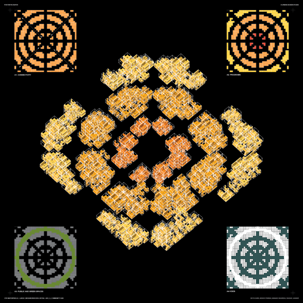
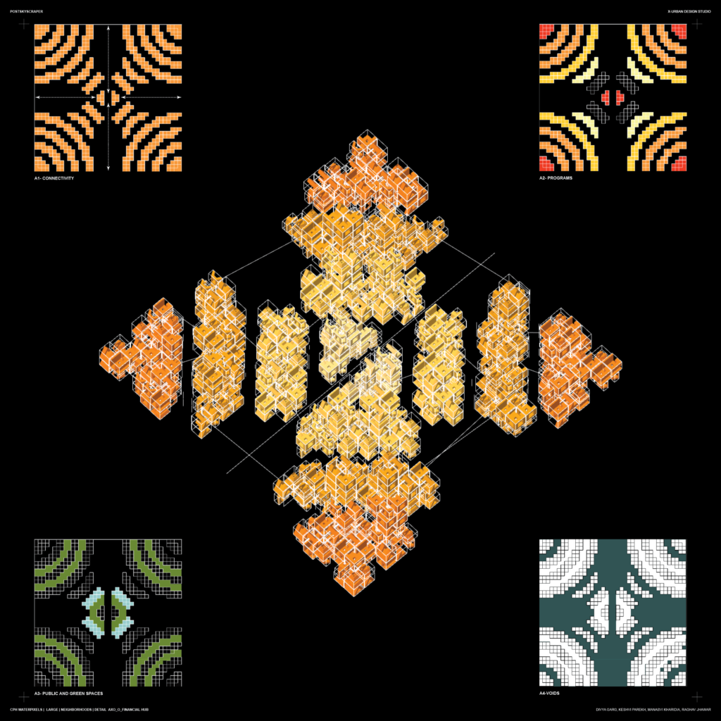
A detailed plan showcases the workings of various programs and the axis created for connectivity in a neighborhood.
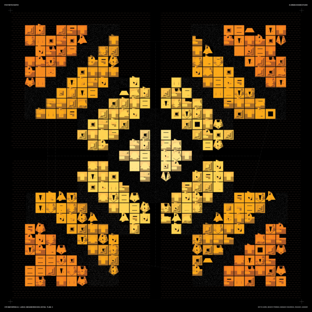
The final layout after arranging various neighborhoods together after climate optimization. This layout also creates two diagonal axis of connections going through the neighborhoods.
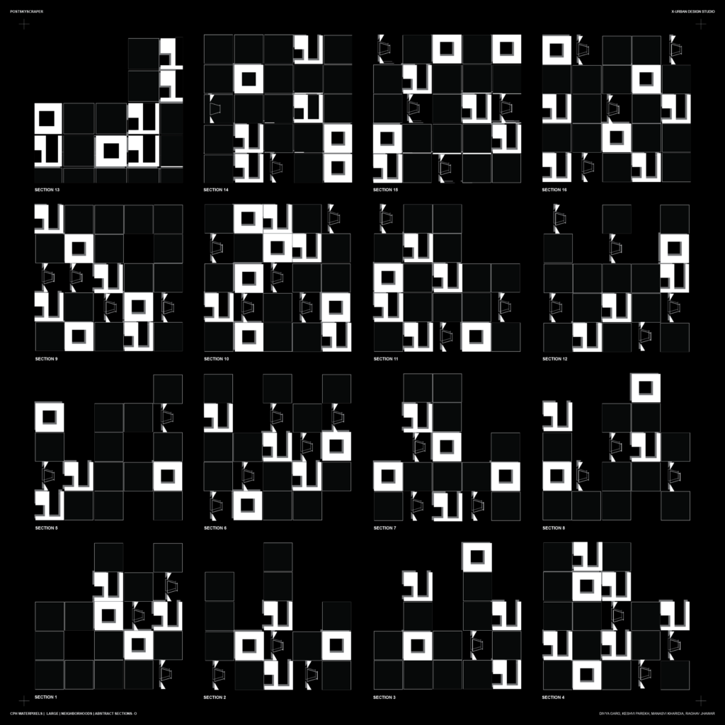
Sections of the Neighborhoods:
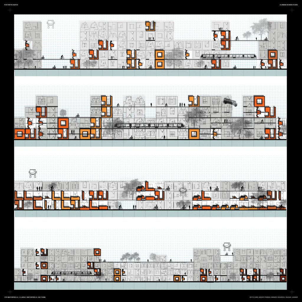
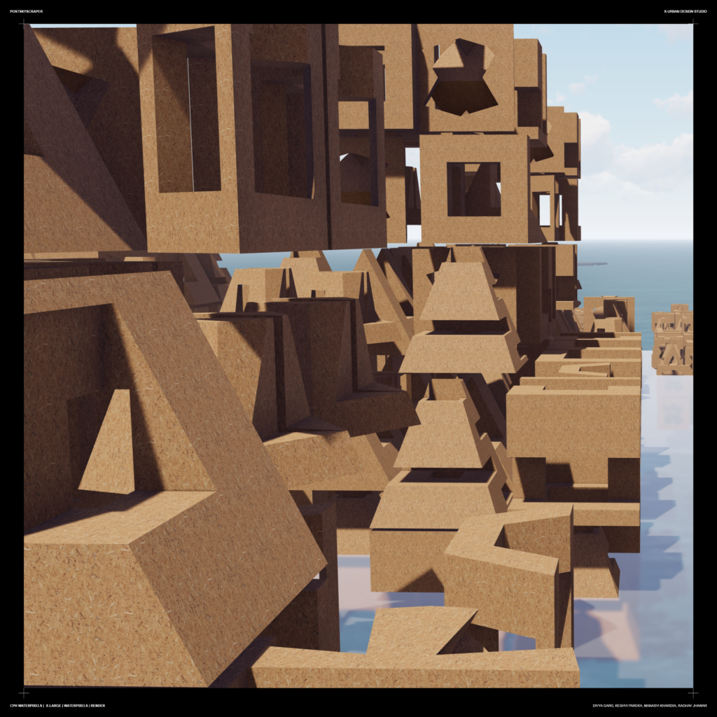
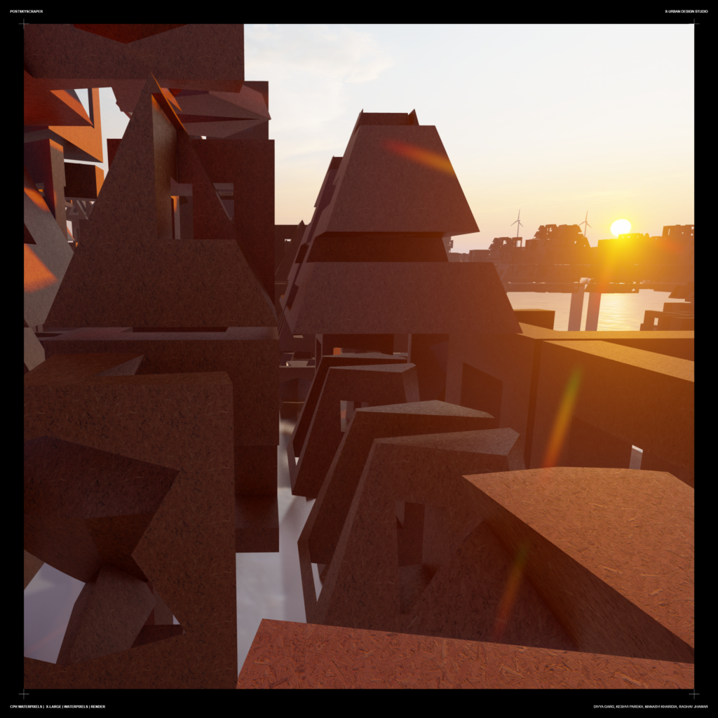
The renders display the relation of Waterpixels to Copenhagen and its Loop Buildings.
