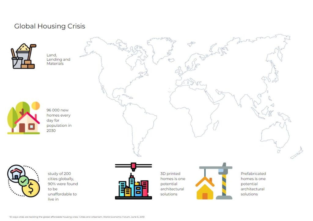
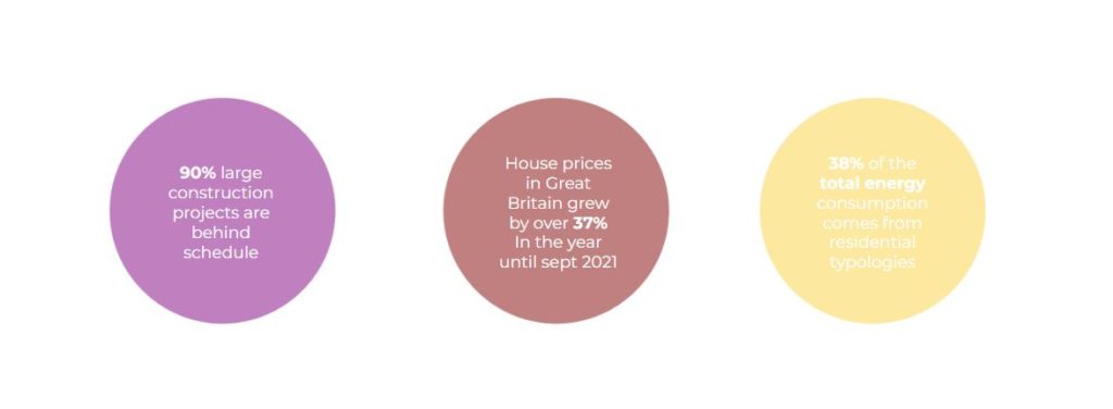
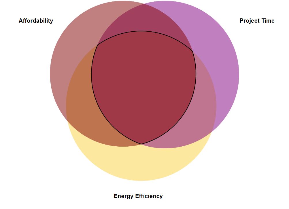
Data_dwelling is a project with a primary focus on data collection and management systems with the aim of creating a design aided workflow focused on the housing crisis in the UK. The design aid should help to create a faster, well designed, energy efficient, by identifying a methodological residential typology. The project will help in identifying gaps in data sources that might aid this workflow. As well as the data collection and management systems the project will use AI systems such as image recognition, as well as deep learning modules to produce an appropriate typology.
Framework Data, gov.uk
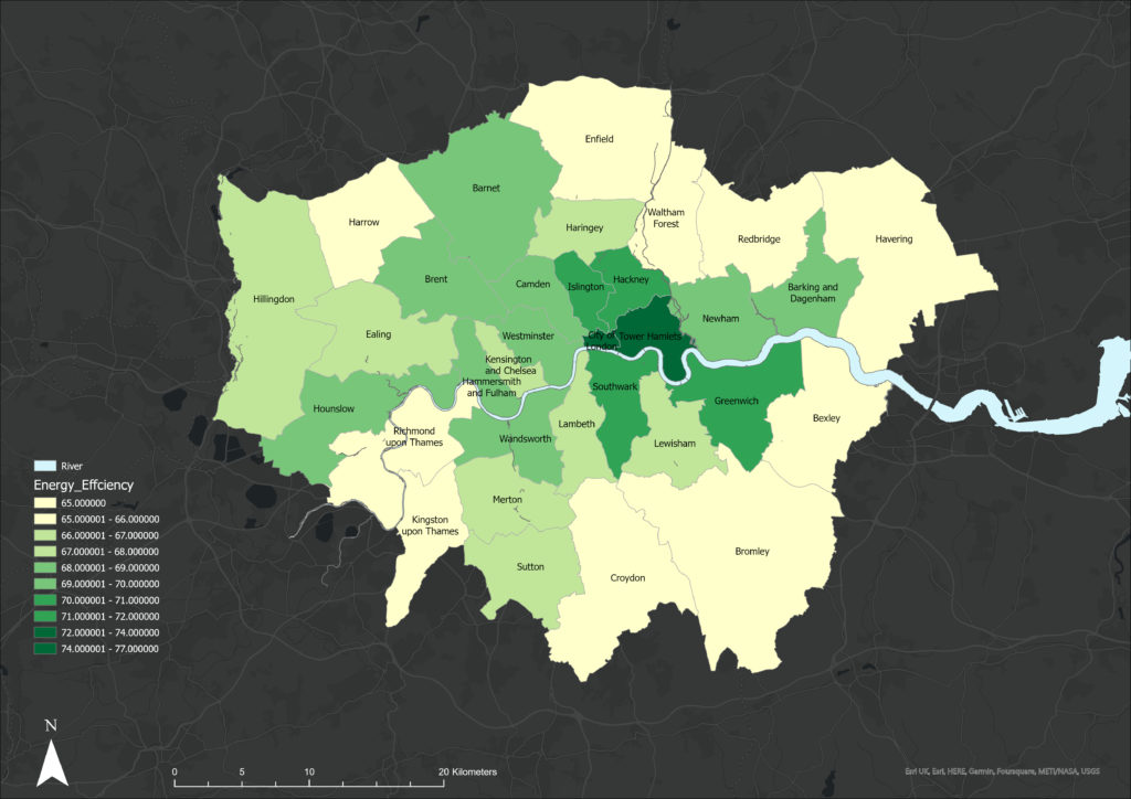
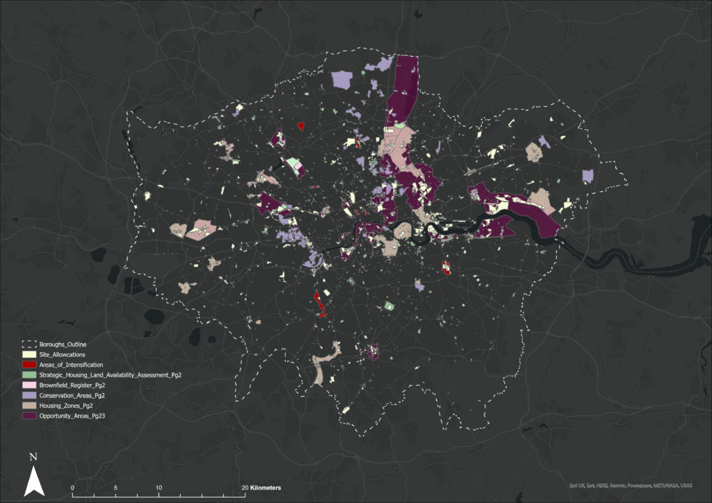
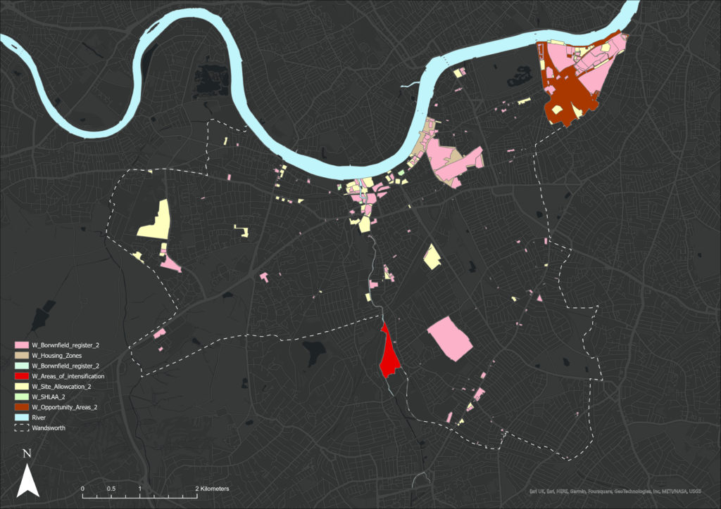
Data Collection
The first stage of the project is data collection and cleaning. A lot of available data is very general, lacks detail, and is sometimes incomplete – in terms of free data sources this means relying on either government sites, or open street maps. Both of which develop their projects as data collection sources, but when someone wants to collect data to use within a project then it becomes more challenging. The following maps were completed in ArcGIS

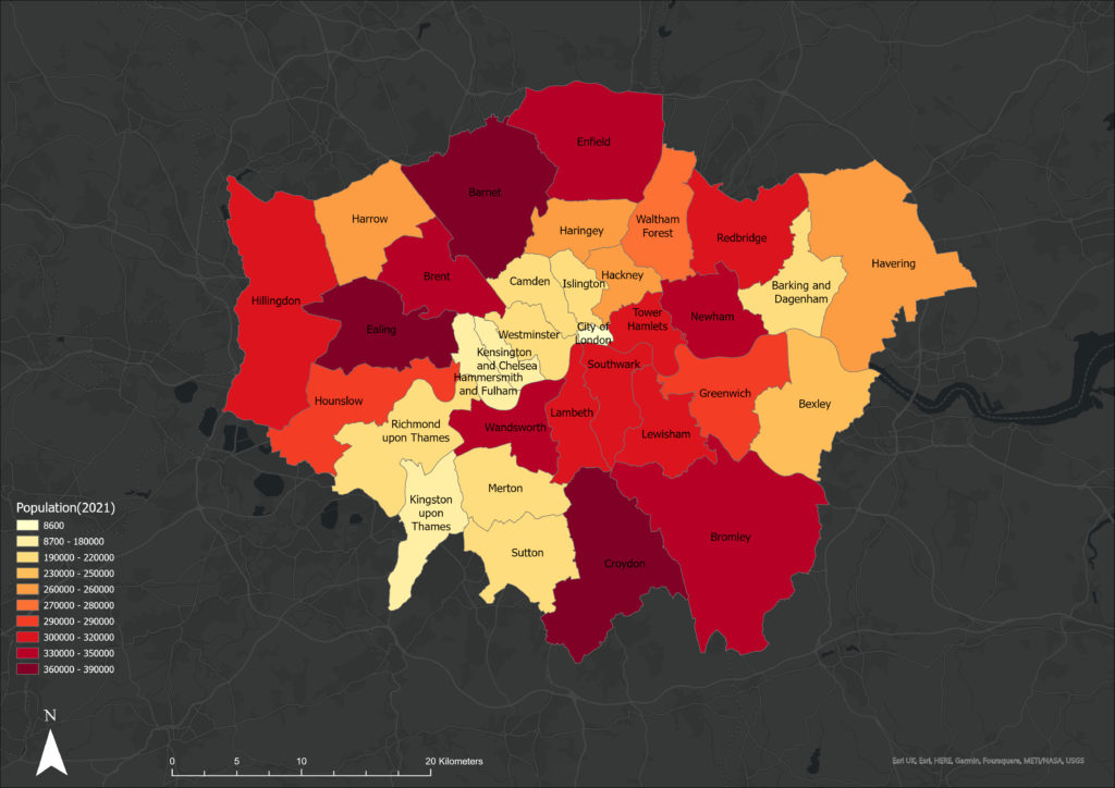
Wandsworth – More detail at an administrative zone
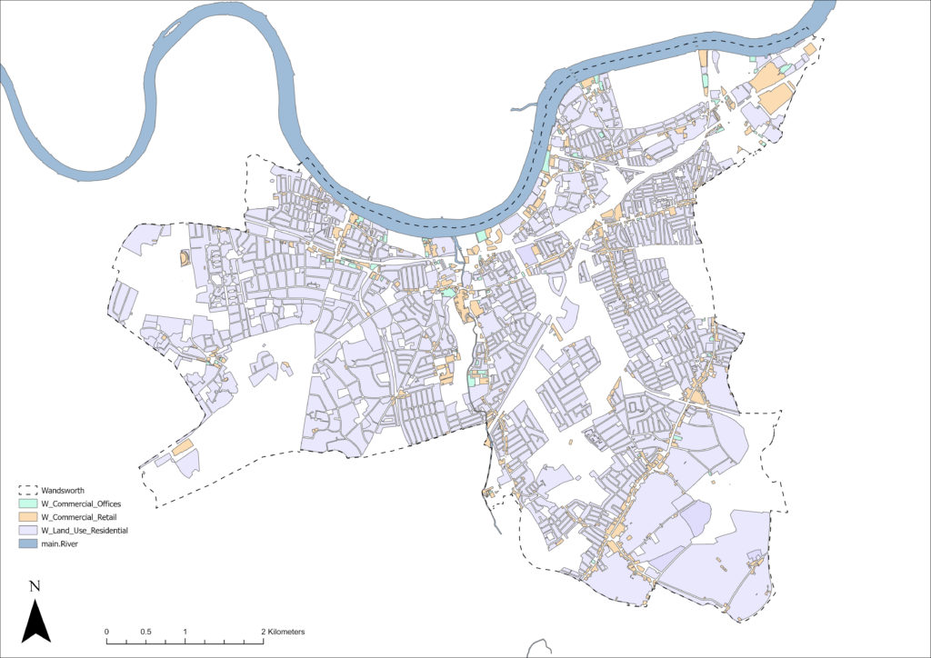
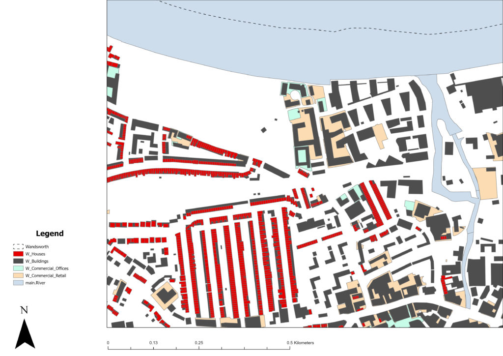
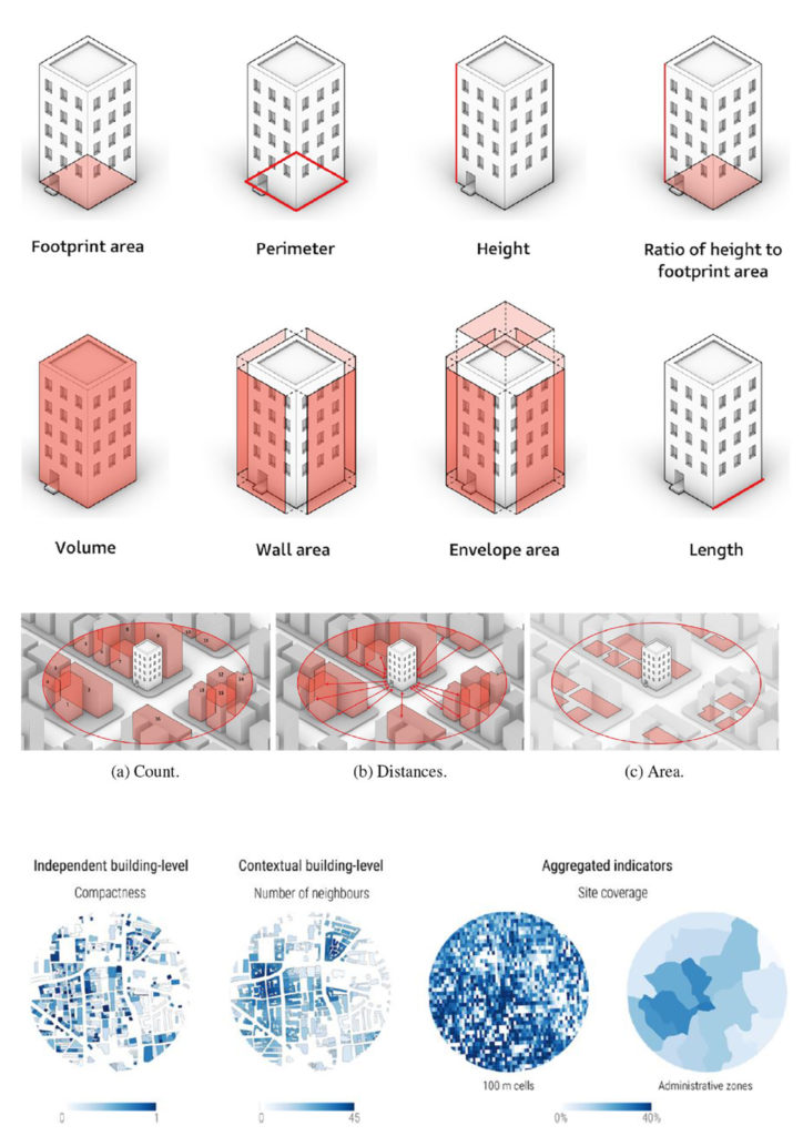
The purpose of extracting this data is to use it in machine learning to get a good understanding of residential typologies, and what data is necessary to create a building. What is different about this project is how on the urban scale the data responds to its context as well its individual data.
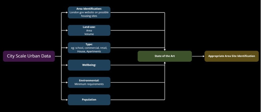
State of the Art