Concept
The purpose of the app was to help with viewing and researching information on different types of amenities (like parks, playgrounds, etc.) near selected locations, based on the available OSM data.
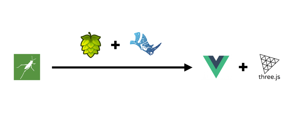
It’s based on Grasshopper script that is sent to Rhino Compute and visualized on the web using three.js.

Grasshopper base
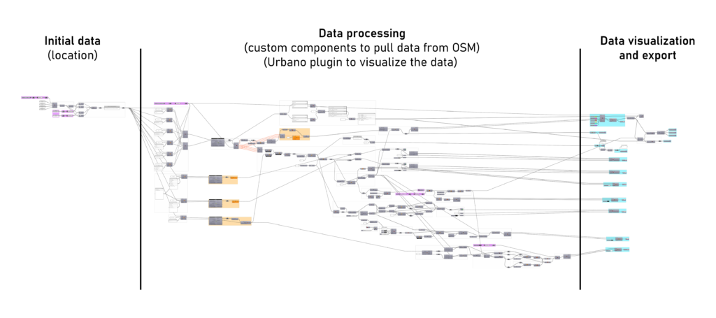
The script is divided into 3 main parts – the initial data, data processing, and data visualization and export. The first part establishes the location and size of the area that is created. The second part uses custom components with specific OSM keys to pull the desired data and then uses various components (including the ones within the Urbano plugin) to process that data. In this part, there are also additional inputs that can be controlled by the user in the app. The third part visualizes and exports the geometry for further processing.

Inputs
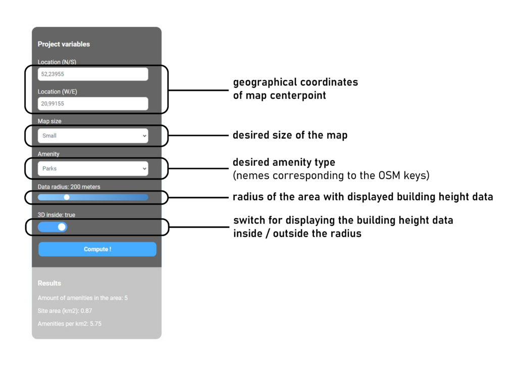
To work the app needs a couple of inputs. Some of them are necessary, and some of them are not. The first mandatory one is the location (in the form of geographical coordinates) of the center of the map. This data can be easily pulled from OpenStreetMap after zooming to the desired location, right-clicking the map, and selecting “Show address”. The second mandatory input is the size of the map. Multiple sizes can be picked, however, the bigger the map the longer it will take to load. The last mandatory input is the amenity type. Users can select different pre-defined values that correspond to the OSM keys (the full list of the keys can be vied here). Besides the mandatory inputs, for better display, users can also play with things such as the radius of the area that displays building height data (along with its placement which is done manually) or whether this data should be displayed inside or outside this radius.

Outputs
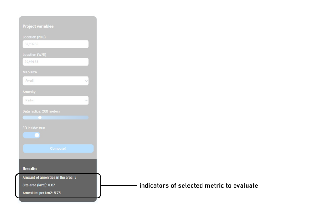
After clicking the “Compute” button, the app calculates all the data and displays it at the bottom of the side panel. Right now this data is the number of selected amenities in the area, the size of the area, and the number of amenities per km2.


