AIA25 Studio – HaBiCoM
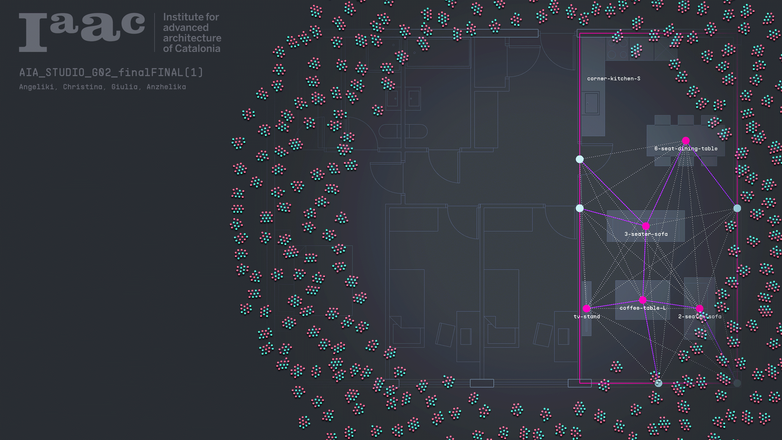
HaBiCoM is an AI-powered copilot designed to assist architects, designers, and users in shaping smarter, more responsive interior spaces. At its core, HaBiCoM redefines the way we approach furniture placement within residential environments by aligning each design decision with the user’s unique daily habits, lifestyle rhythms, and thermal comfort needs. Unlike traditional layout tools, HaBiCoM … Read more